Editable Democratic Republic of Congo PowerPoint Map
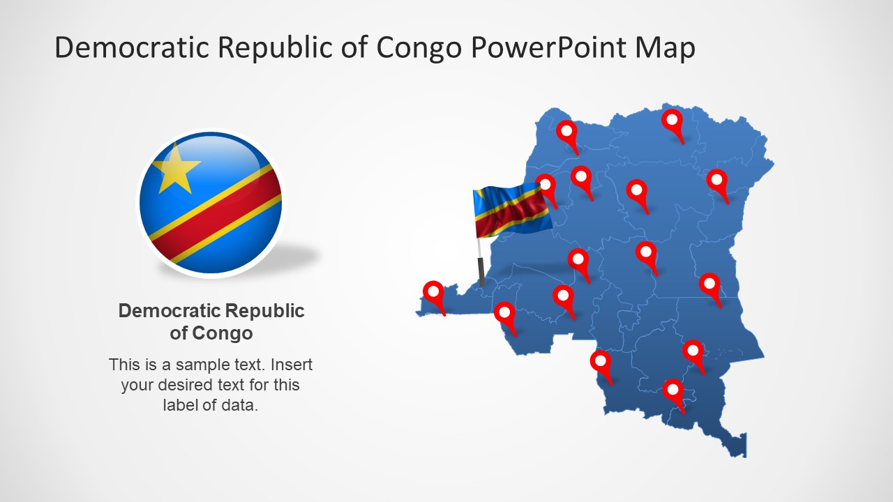
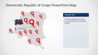
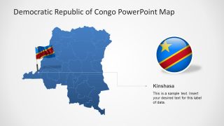
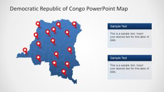
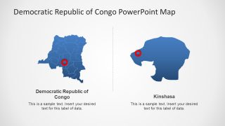
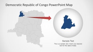
The Editable Democratic Republic of Congo PowerPoint Map is a collection of map shapes. These maps are one-color layouts ideal for presenting the administration areas for business presentations. The use of map alongside a business report will help conclude the presentation with meaningful and engaging graphics. For example, use editable maps while creating a demographic report of business target market. The silhouette map template could help describe high or low potential areas. Likewise, editable maps for the Democratic Republic of Congo could be used to discuss economy, health, and resources of its provinces.
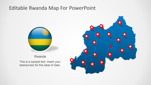
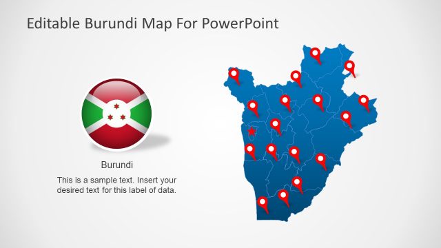
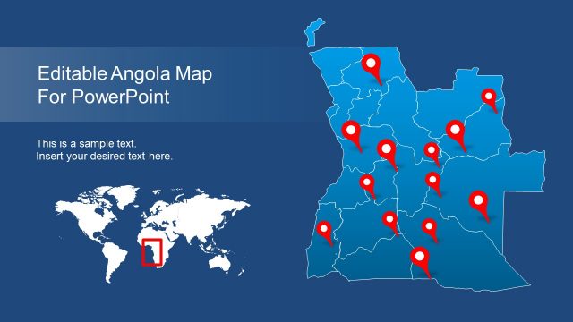
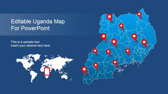
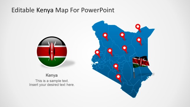
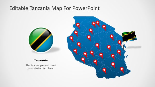
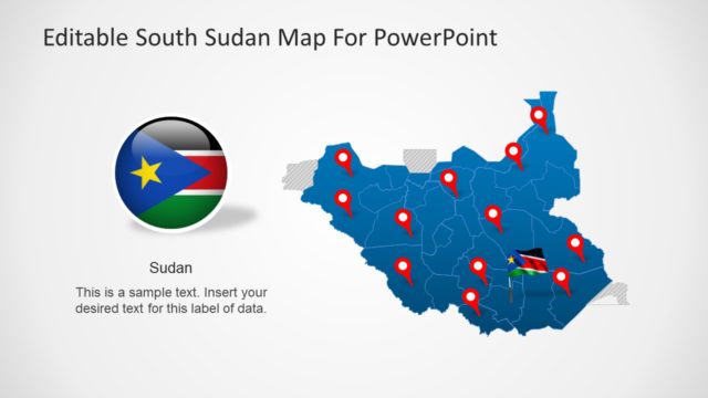
The Democratic Republic of Congo is known by many names such as Congo-Kinshasa, DR Congo, the DROC, and Congo. It is the second-largest county in Africa. Congo shares borders with Burundi, Rwanda, Sudan Tanzania, Uganda, and Zambia. The SlideModel catalog of PowerPoint Maps includes editable maps of these East African counties.
The PowerPoint map templates are commonly used in business, sales & marketing, tourism, and educational presentations. Especially for educational purposes such as topics of geographical, social, and political sciences. The editable map templates allow users to change colors of a whole map or its 26 provinces.
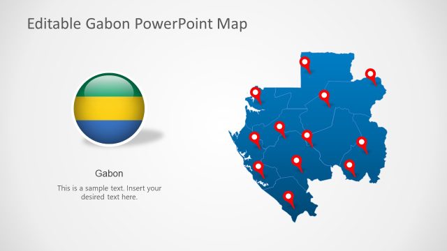
The Editable Democratic Republic of Congo PowerPoint Map provides high-quality vectors. You can easily customize the colors and sizes of these maps to fit that fits your business presentation theme. All eight slides include clipart icons of flags and GPS location markers. Users can deliver an effective geographic matter presentation using these supporting contents.
