Afghanistan Political Outline Map and Flag Icon
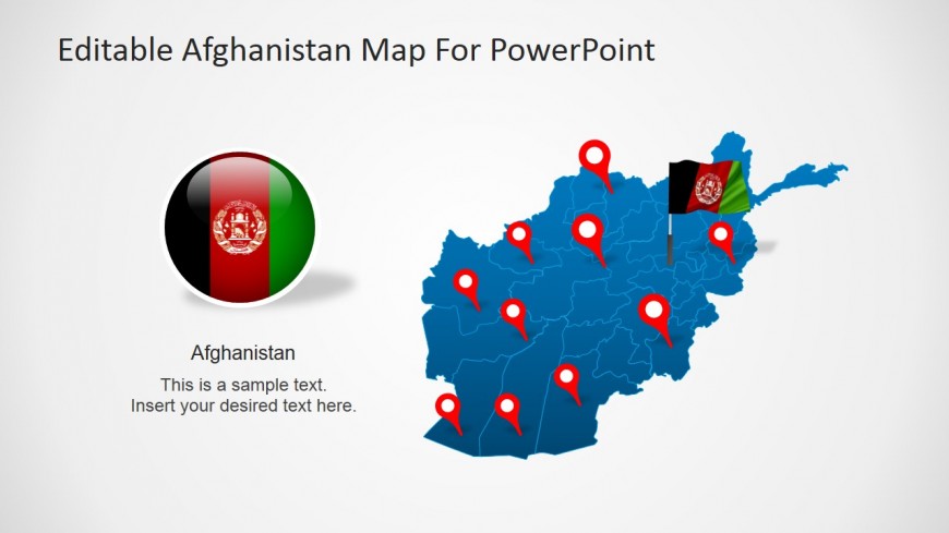
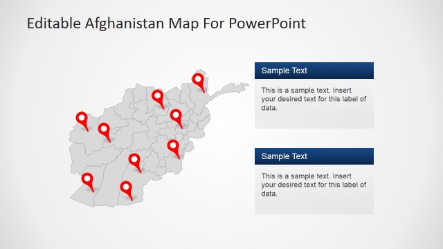
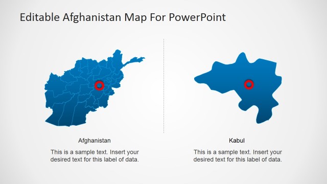
This slide features a complete political map of the Afghanistan nation. All thirty-four of the provinces are detailed with individual and customizable high quality clipart icons. Above this map are ten editable clip art icons that resemble pins for you to use in isolating or drawing attention to relevant provinces and cities. A textured and rendered flag of Afghanistan has also been added to this map to indicate the location of the nation’s capital city, Kabul. To the left of the slide there is also a circular icon that depicts the country’s flag and below this an editable text box that you may use to frame the topic of your presentation.
Return to Editable Afghanistan Map For PowerPoint.
Download unlimited PowerPoint templates, charts and graphics for your presentations with our annual plan.
DOWNLOADReturn to Editable Afghanistan Map For PowerPoint.
