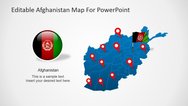
Political Outline Map of Afghanistan with GPS Markers and Textbox
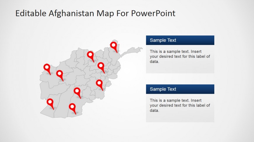
In this slide of the editable Afghanistan map template designed for PowerPoint a customizable political diagram of the Afghan nation has been created from thirty-four individually editable and high quality PowerPoint Shapes. Above these regions are nine clip art images that depict GPS icons. These can be edited for a change of color, size or shape. A professional presenter might use these icons to indicate upon the map places of political, historical or economic interest. To the right hand side of this diagram are two editable text boxes that can be used to expand upon any one of these regions.
Return to Editable Afghanistan Map For PowerPoint.