Wisconsin PowerPoint Template
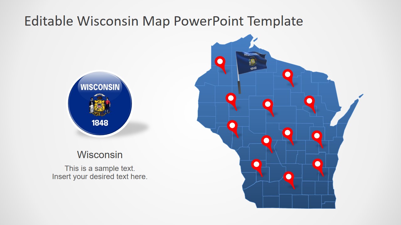
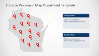
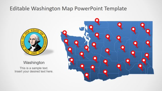
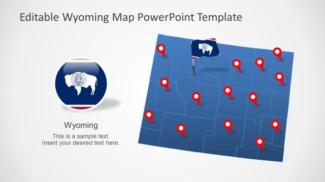
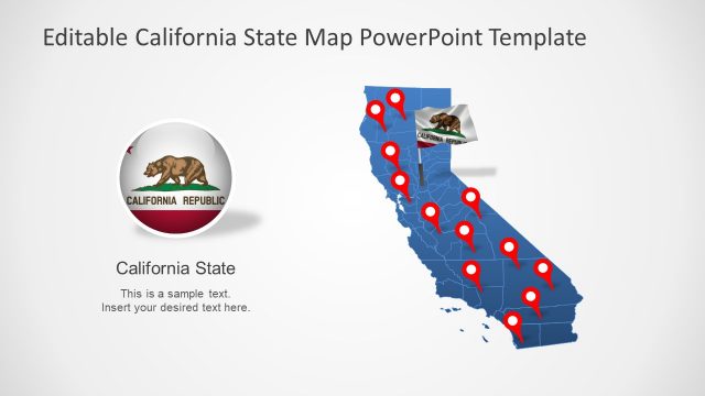
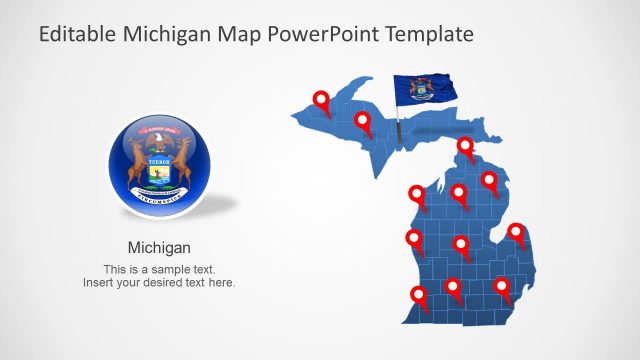
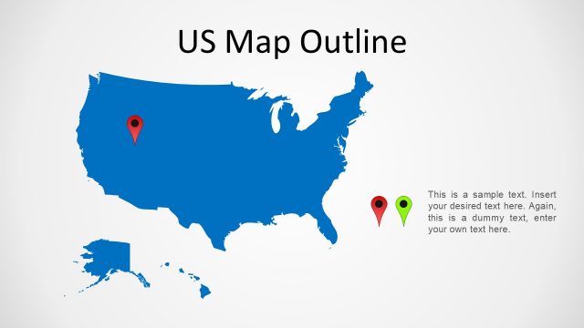
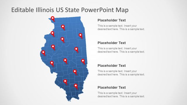
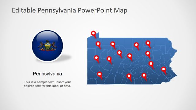
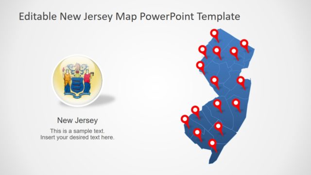
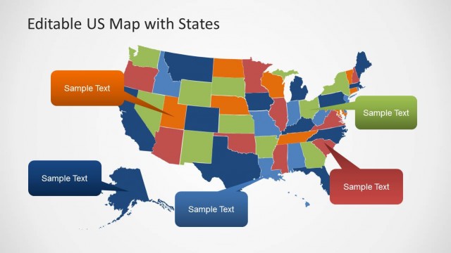
The Wisconsin PowerPoint Template is an editable presentation of USA state map. The template visualizes all counties of Wisconsin for business presentations such as company’s sales reports. These maps are a collection of silhouette outline shapes for counties, join to create complete map of Wisconsin state. The template also includes various clipart icons to support graphics of map presentations. These include flag clipart icons, location pins, and arrows. This PowerPoint is could be used in several professional and casual presentation. For example, highlighting marketing activities, research statistical analysis, tourism, etc.
The PowerPoint map template of Wisconsin state outlines territories for joining states and counties within. This template offers 7 map variations to place them in predesign presentation reports. Further, these maps are high-quality PowerPoint shapes which could be easily redesigned or edit to meet the requirements. Because it is a fully editable PowerPoint map with multiple customization options. For example, making a colorful vibrant presentation outlook by applying different colors for counties from solid fill. It could help distinguish market segments by colorizing shapes, places, and points. Furthermore, the location marker pins are useful clipart tools to label areas on map.
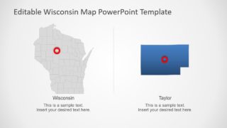
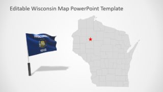
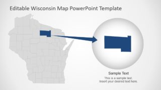
The Wisconsin PowerPoint Template originally contain blue and gray outline maps. But users can change these colors from solid fill option in PowerPoint. The map template includes a few map layouts that show text sections with Wisconsin flag. These placeholders could help highlight useful textual content of presentation. Moreover, the Wisconsin map presentation offers two bonus slides that feature zoom-in style for counties. These slides basically enlarge county shape that appears as a zoomed-in county on map.
