Wyoming US State PowerPoint Map
Wyoming is one of 50 states of the United States of America. It is a landlocked state that shares borders with Montana, South Dakota, Nebraska, Colorado, Utah, and Idaho. This state has a rich history of Native American tribes and also is one of America’s more relevant tourist attractions. SlideModel presents editable maps for the USA states with their administrative divisions. The Wyoming US State PowerPoint Map can be used to visualize its regions for various purposes. You can create an informative presentation for tourism and describe its climate, economic or demographics statistics, and more.
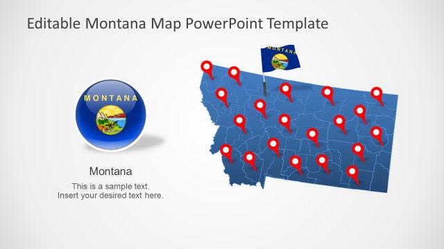
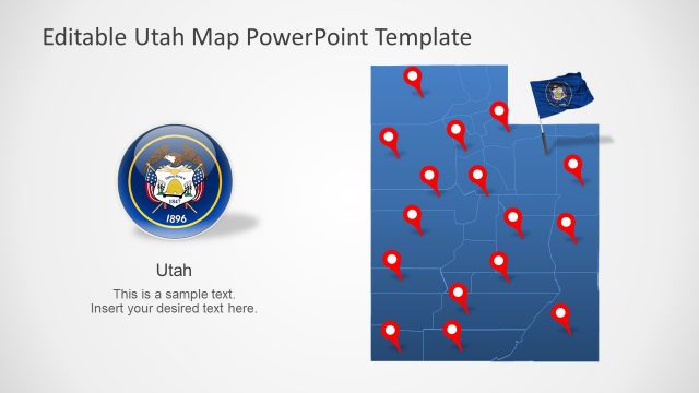
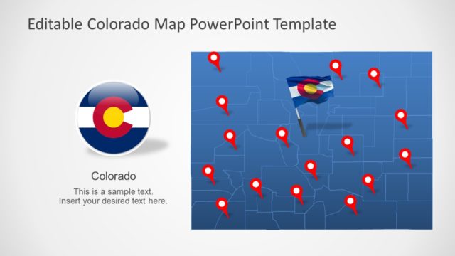
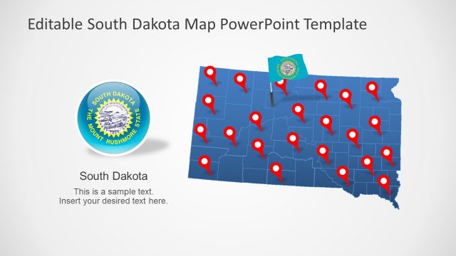
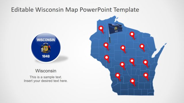
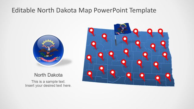
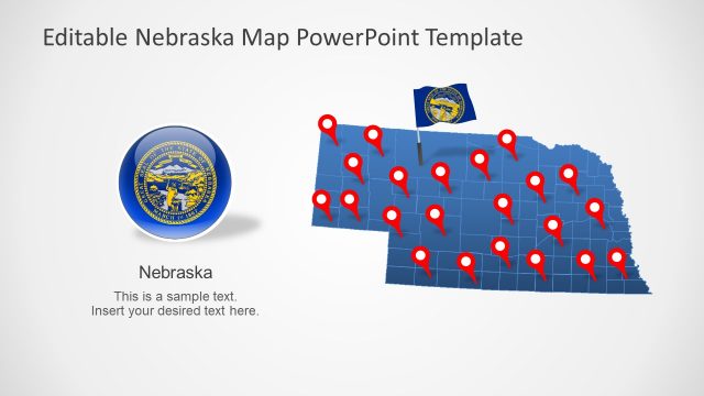
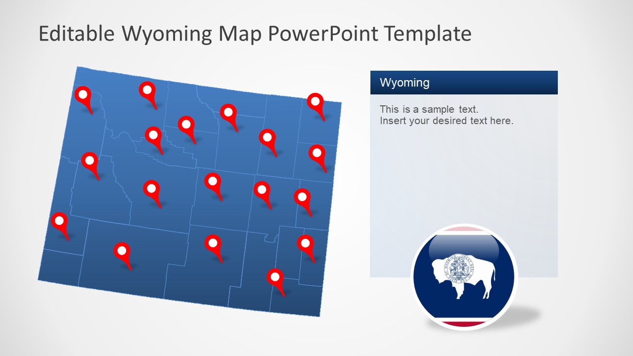
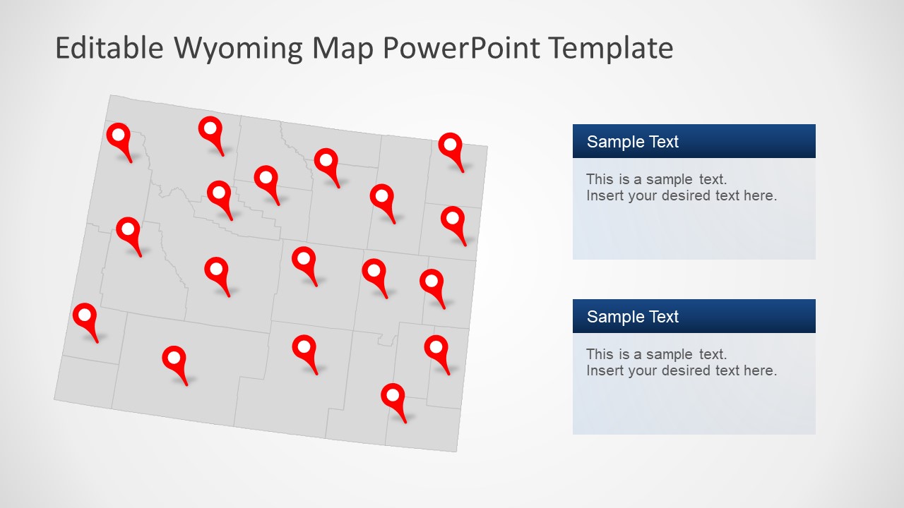
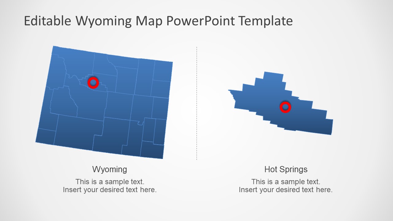
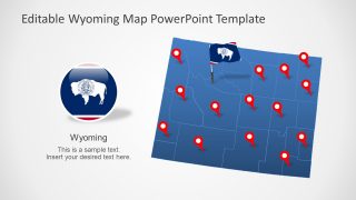
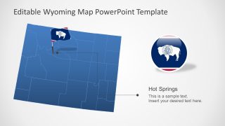
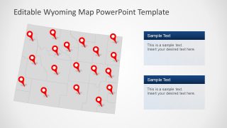
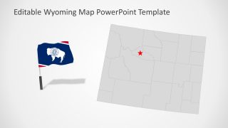
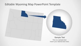
The Wyoming US State PowerPoint Map presents 7 layout designs featuring a geographical map of Wyoming. These are fully editable silhouette maps designed for professional business and educational presentations. This editable map PowerPoint template provides blue and gray maps. However, users can change the colors of an entire map or its counties according to their presentation requirements. For example, when you are making a presentation about regional statistical data, color-code the counties to describe different ranges. Each template for the Wyoming map contains location markers and flags to emphasize counties and important cities. There are two slide designs with zoom-in options highlighting Hot Spring and Big Horn County. You can create similar zoom-style templates of other counties in the PowerPoint.
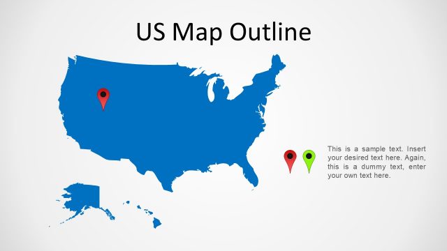
The Wyoming map templates present a trapezoid-shape geographical map outlining 23 counties. Each county is a separate PowerPoint shape joined to create a complete map of Wyoming. Depending on the presentation, the users can change the colors or resize map these county shapes. These maps feature the State’s capital, Cheyenne with flag icons. Alternatively, you can learn more on how to prepare US maps for presentations and top US map outlines here.


You must be logged in to download this file.
DOWNLOAD- Category
- Maps
- Rating

 Loading...
- Size
- 16x9
- Item ID
- 13228-01
- Colors
Subscribe today and get immediate
access to download our PowerPoint templates.