Ukraine Map Template for PowerPoint
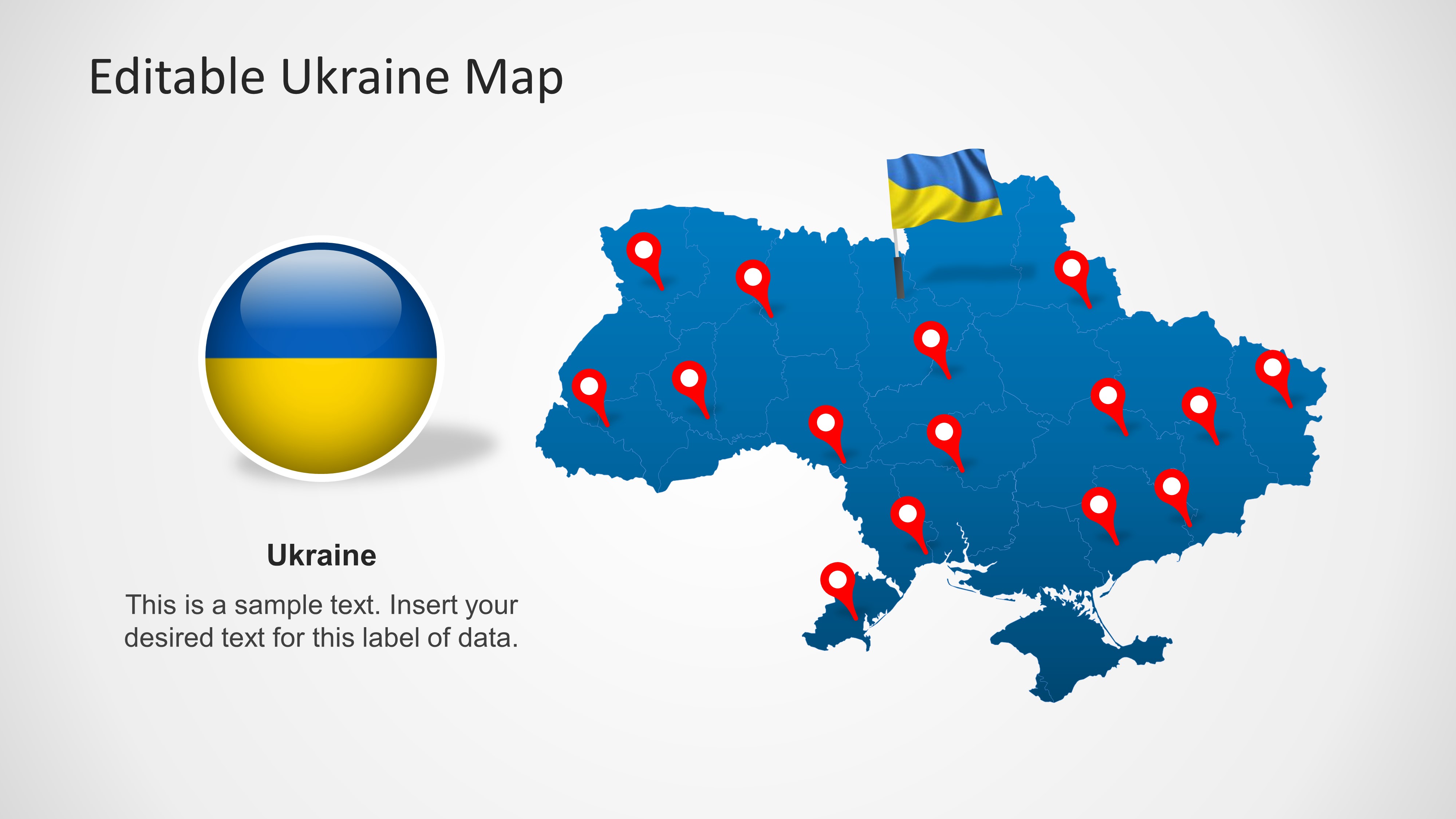
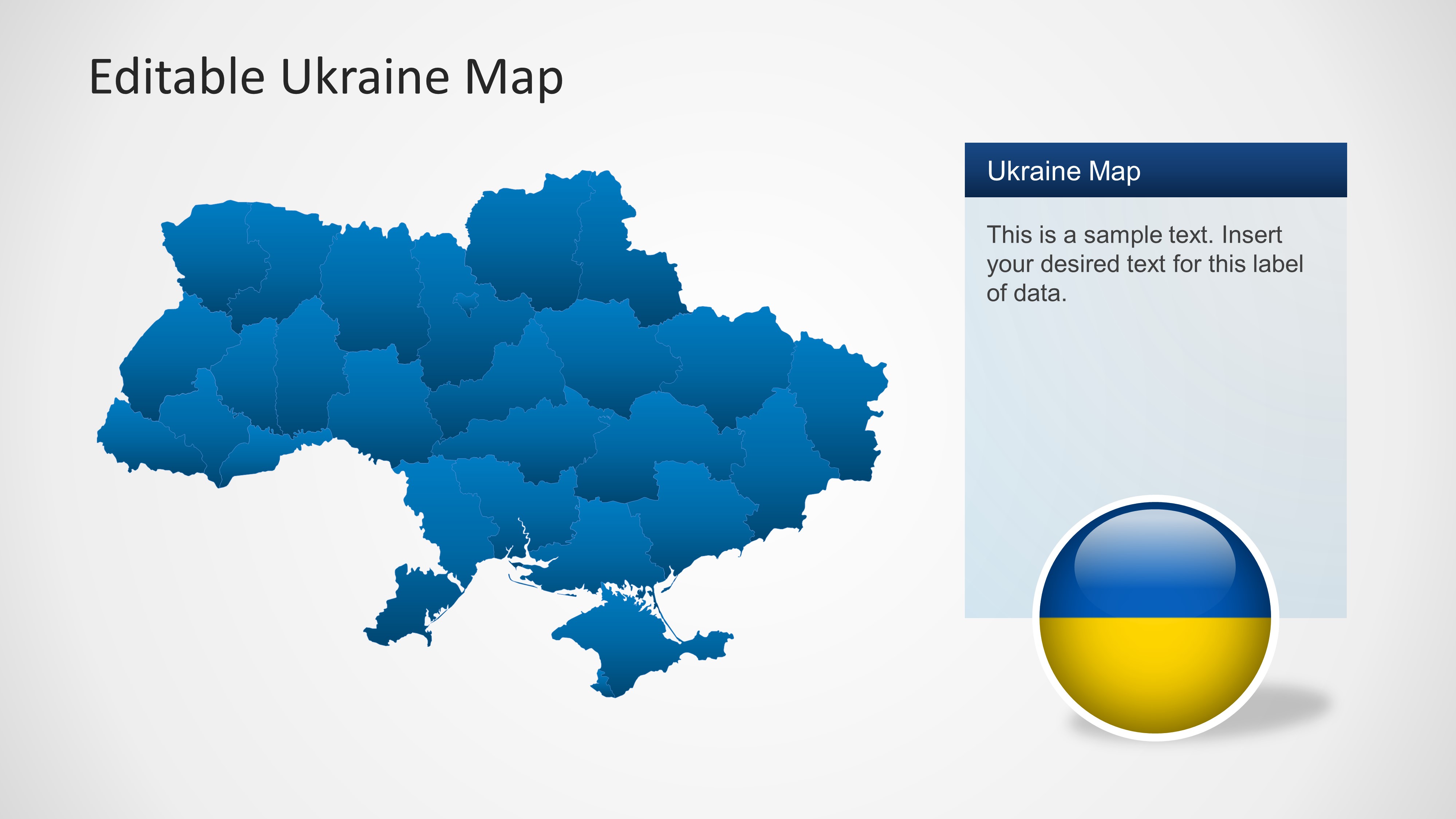
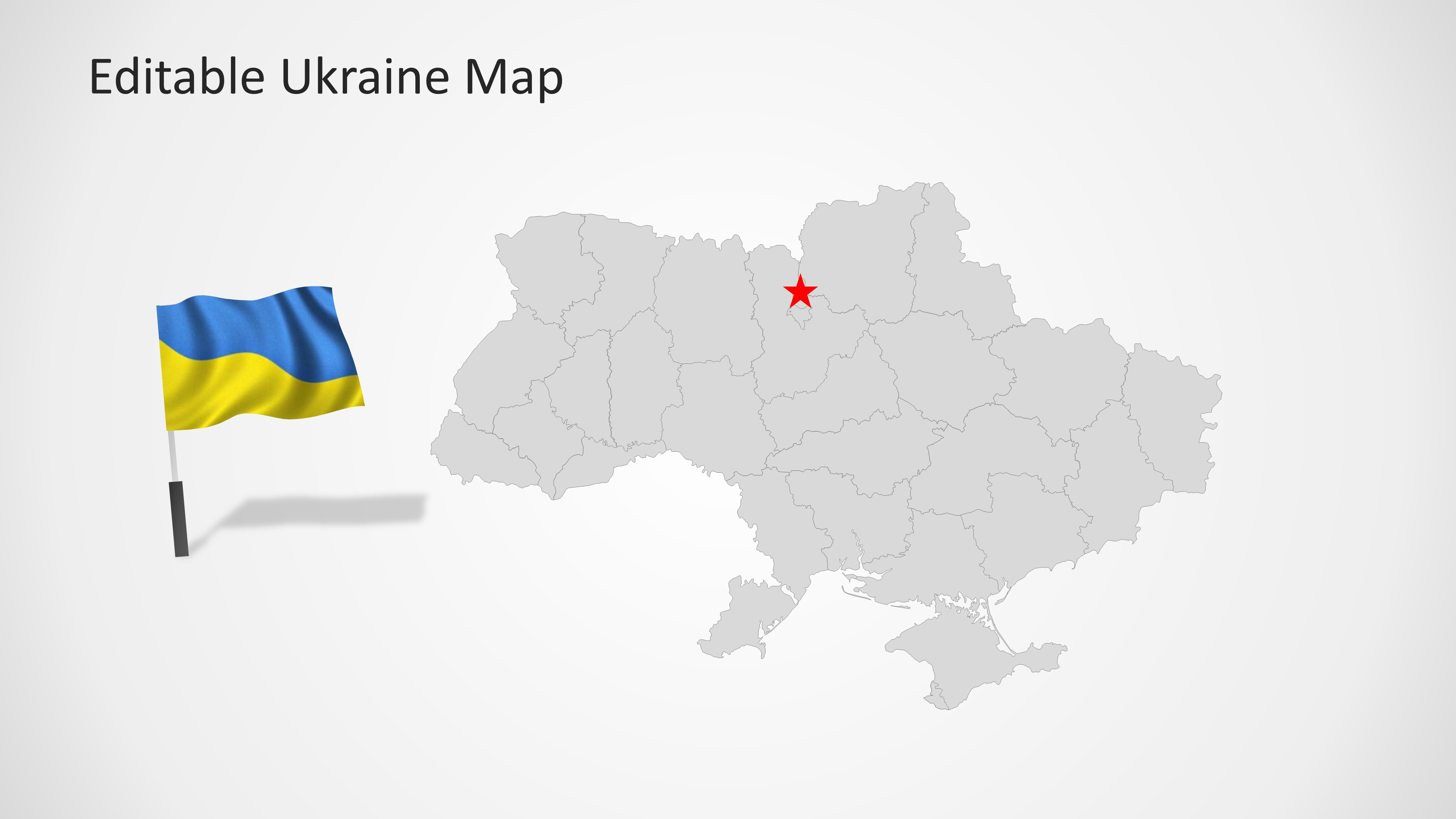
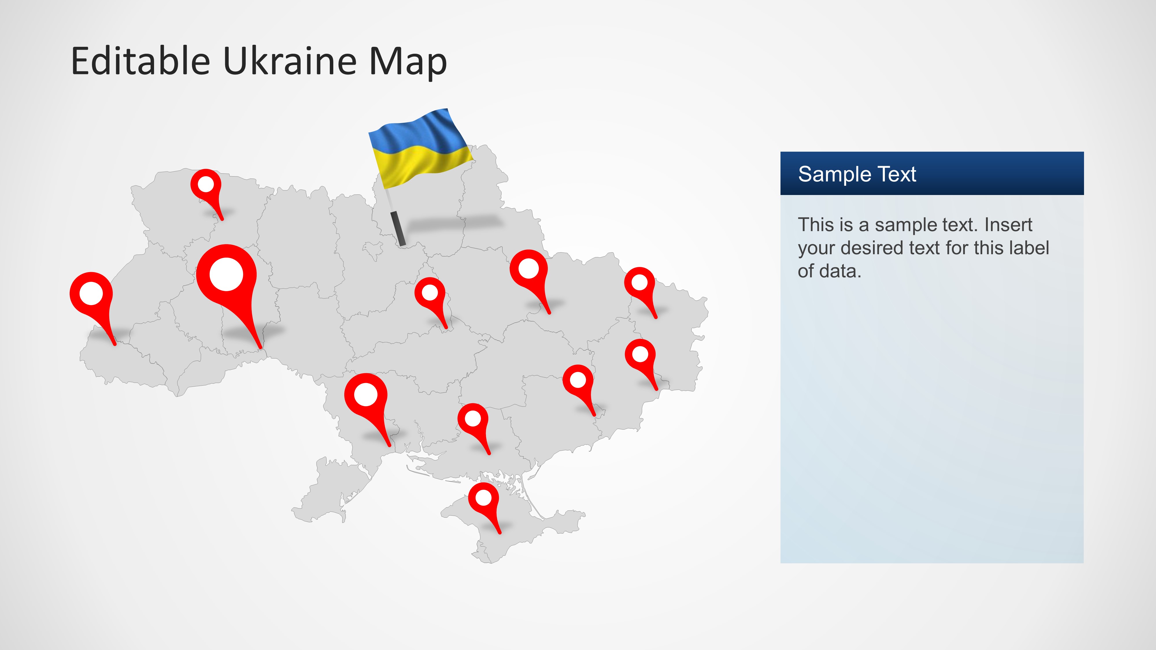
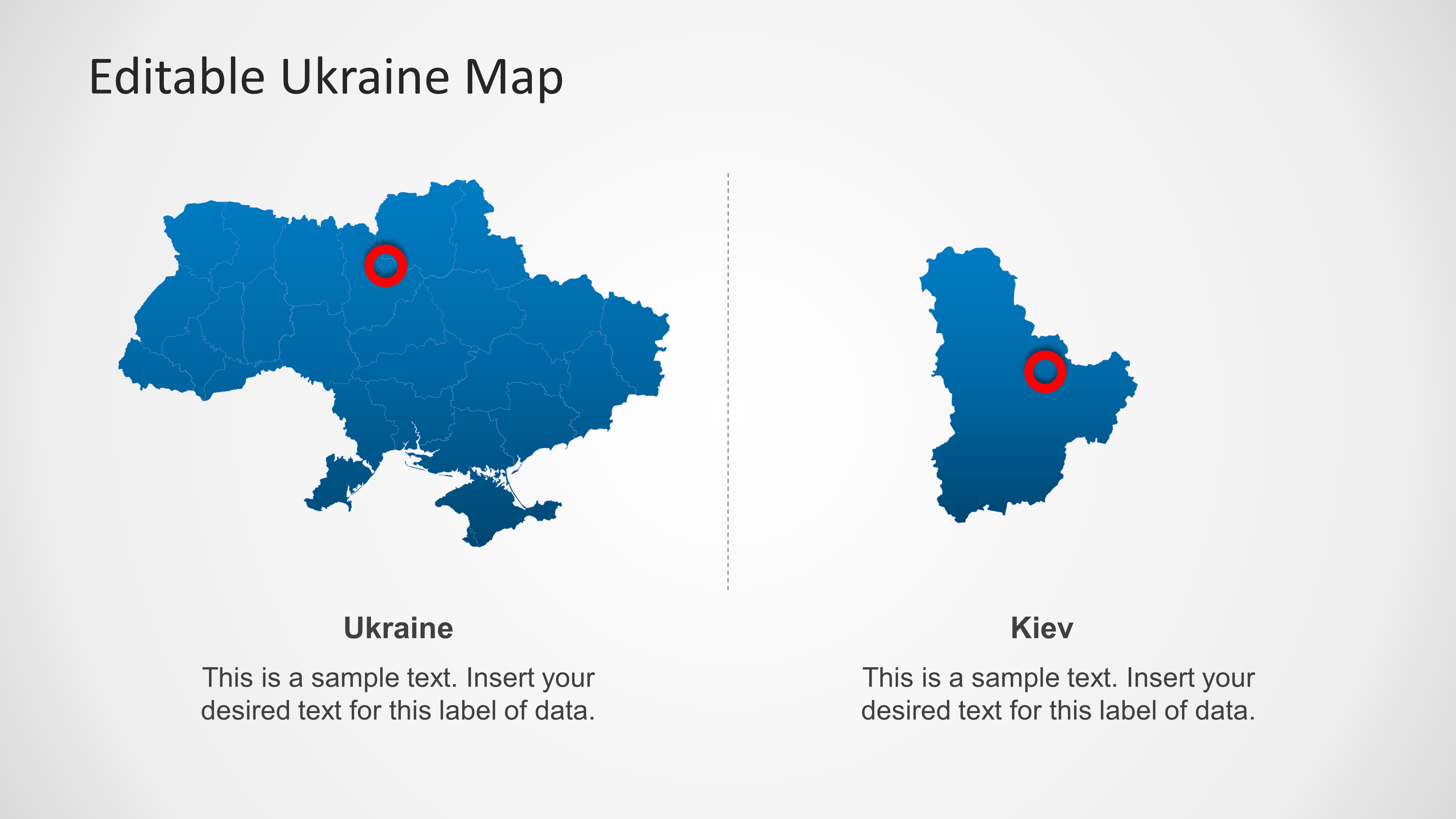
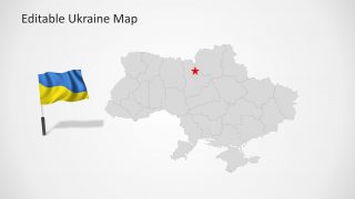
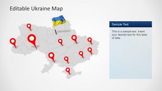
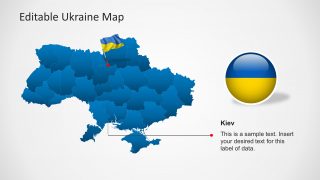
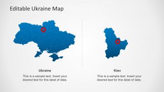
Ukraine Map Template for PowerPoint is a presentation with editable Ukraine geographical shapes. This presentation is ideal for location references or educational lectures. The template contains Ukraine outline and political boundaries, its flag as an editable object, national colors, a specific slide with reference to Ukraine capital (Kiev) and several location icons across the map. Ukraine is located in Eastern Europe and borders with Russia, Belarus, Poland, Slovakia, Hungary, Romania, and Moldova.
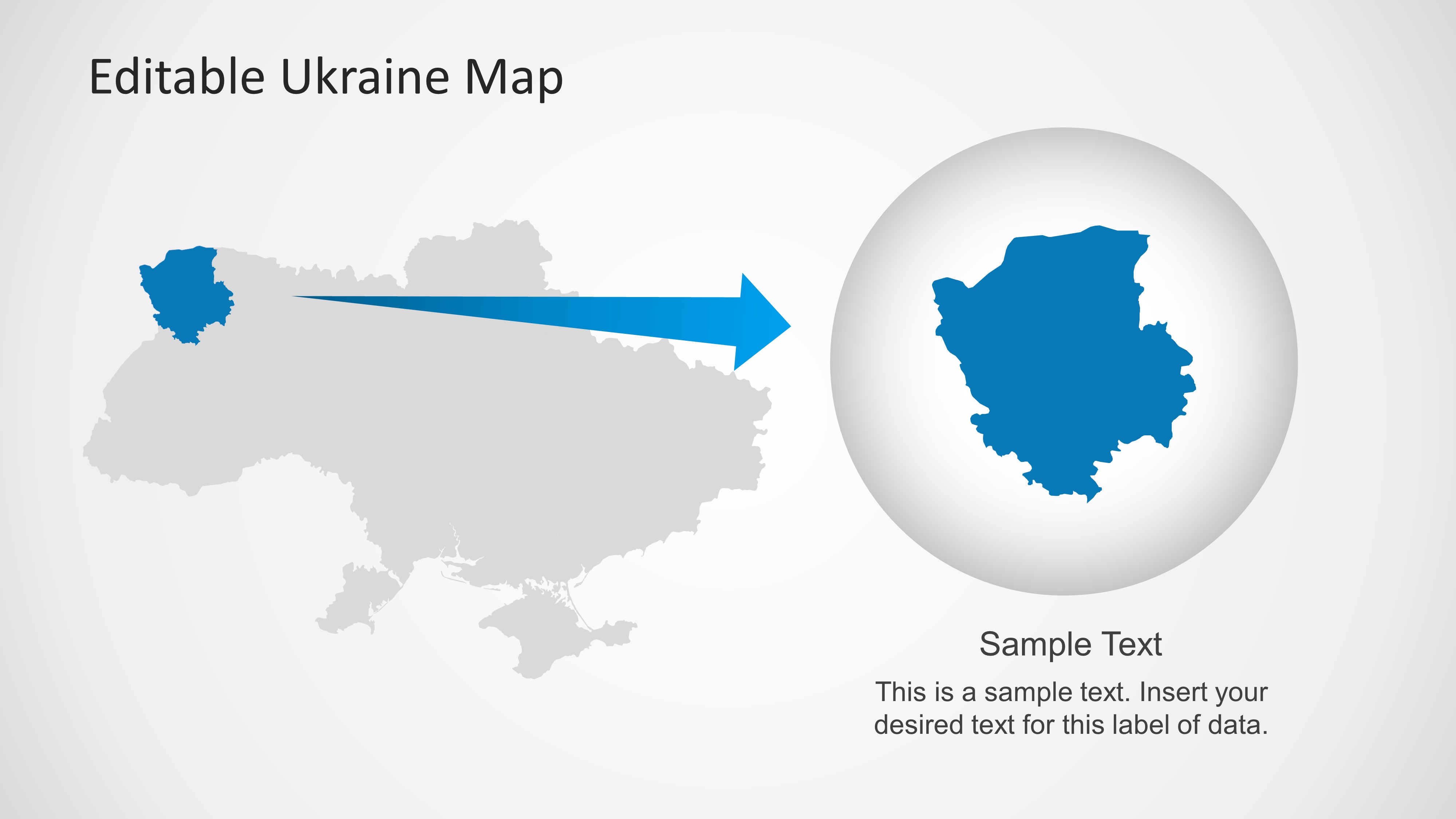
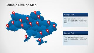
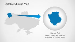
The map is presented with different backgrounds and contains a plain shape (separated in states) that allows the user to change the map colors. You can download this PowerPoint template and manipulate states as individual objects, that can be then used independently. The presentation provides highlight frames and icons for creating references to specific locations across the map.
Test Boxes are provided across the slides as a side bar columns or below the main map shape. This text boxes match the presentation layout and palette giving the flexibility of adding custom text.
Ukraine Map Template is compatible with Microsoft PowerPoint 2010 and 2013.
