Highway PowerPoint Templates
Infrastructure proposals, transportation studies, and civil engineering reports all depend on a road graphic that reads correctly at a glance: lanes, interchanges, and signage rendered the way an audience actually expects a highway to look. A highway PowerPoint template supplies that visual directly, so a presenter is not adapting a generic line drawing into something that resembles a real road.
Our highway templates are built for civil engineers, transportation planners, and consultants who present infrastructure projects on a recurring basis. The graphics remain legible whether the highway is a single-lane rural corridor or a multi-lane urban interchange.
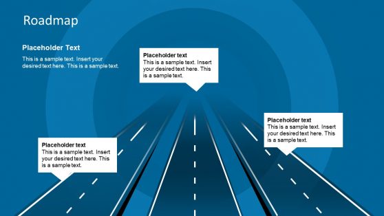
Roadmap Concept PowerPoint Template

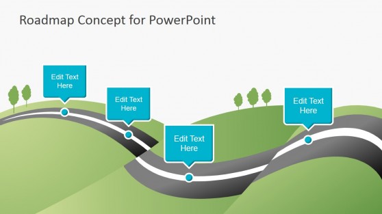
Creative Roadmap Concept PowerPoint Template

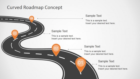
Curved Road Map Concept for PowerPoint

Why Infrastructure Teams Choose Highway Slides
A transportation study or infrastructure pitch is easier to follow when the road itself looks like a road, with lane markings, exits, and signage in the right places, rather than an abstract arrow standing in for the route. Highway templates give presenters that specificity without hiring an illustrator for a single slide, and the graphics scale cleanly whether the highway represents a full interstate corridor or a single interchange redesign.
Civil engineering firms bidding on public infrastructure contracts use this visual accuracy to signal familiarity with the project type before the technical content is even discussed. Pairing a highway diagram with a broader project roadmap format helps a committee see both the physical route and the delivery timeline in the same presentation.
What’s Inside a Highway PowerPoint Template
A highway PPT template is a slide set featuring editable road graphics, interchange diagrams, and signage icons for transportation and infrastructure presentations. The usual lineup covers:
- Multi-lane highway graphics with editable lane counts
- Interchange and overpass diagram layouts
- Road sign icon sets for directional and regulatory signage
- Corridor maps showing highway routes across a region
Where and How Highway Templates Get Used
Transportation planners use the corridor map layout when presenting a regional infrastructure plan to a city council, while civil engineers use the interchange diagram to walk a client through a specific redesign. Consultants bidding on public works contracts adapt the highway graphics for a proposal deck, and academic researchers studying traffic patterns use the same road graphics to illustrate a case study without commissioning custom art.
Many of these presentations pair the highway visual with a roadmap presentation to connect the physical route with a delivery timeline, and since public agencies often review materials on shared drives, the templates open in Google Slides without any conversion step. Environmental review teams assessing a highway expansion also use the corridor map to show impact zones alongside the proposed route, keeping technical and public-facing materials visually consistent.
What is a highway presentation template?
Civil engineering and transportation audiences expect road and interchange graphics precise enough to withstand scrutiny, not a generic asphalt stock photo.
How do I create a highway PowerPoint template?
Start with a layout where the road or interchange graphic is already drawn, then adjust lane counts, signage, and labels to match your specific project or corridor.
Where can I find a free highway presentation template?
Our collection includes free and premium highway layouts, ranging from single-road graphics to full corridor maps and interchange diagrams for infrastructure presentations.
Can highway templates be adapted for non-vehicle infrastructure, like rail or transit?
The road and corridor layouts adapt reasonably well to rail or transit corridors with minor edits, though the interchange and lane-marking graphics are built specifically for vehicle roadways.
Can the lane count on the highway graphic be adjusted for a specific road width?
Yes, lanes are individual editable elements, so the graphic can be adjusted from a two-lane road up to a wider multi-lane highway as needed.
Do the road sign icons follow a specific country’s signage standards?
The icon set follows widely recognized international conventions rather than one country’s specific regulatory standard, so minor adjustments may be needed for full local compliance.
Can the corridor map show multiple highway routes overlapping in the same region?
Yes, each route is a separate line element, so overlapping or intersecting corridors can be shown together with different colors distinguishing each route.