South Carolina US State PowerPoint Map
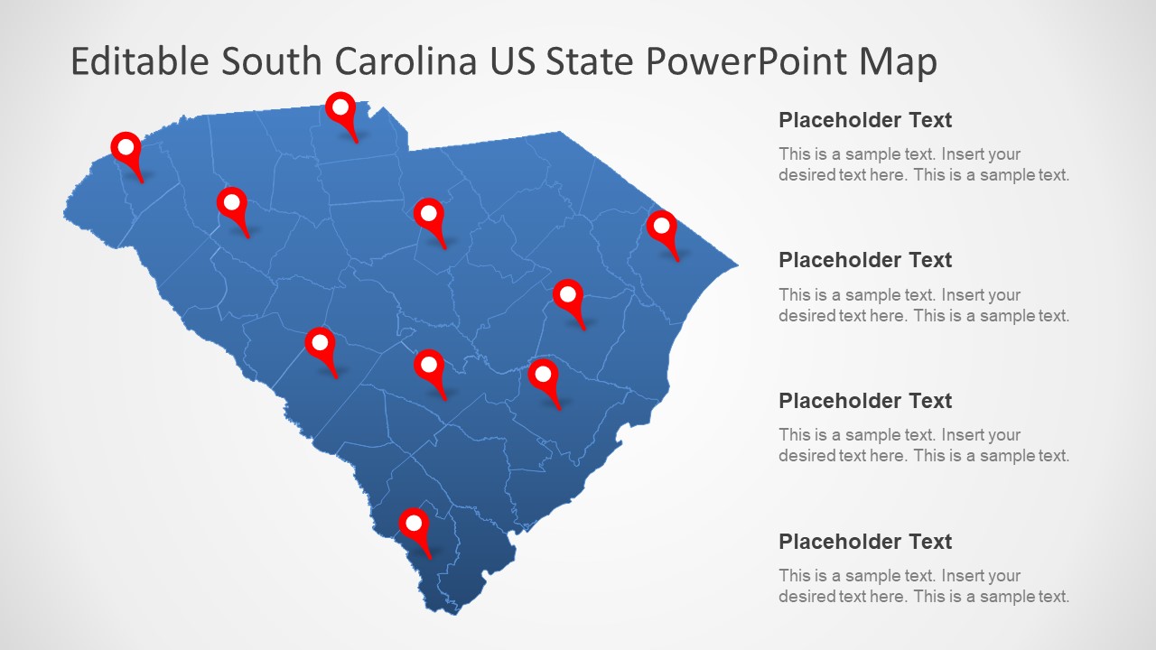
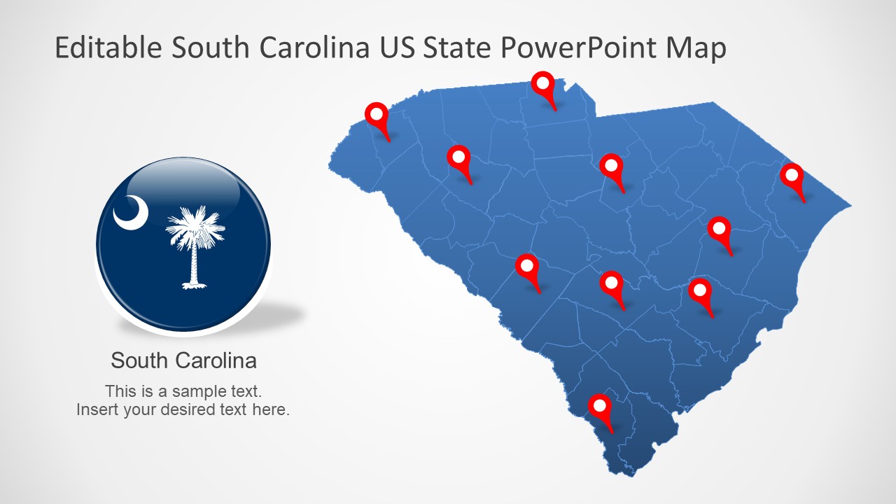
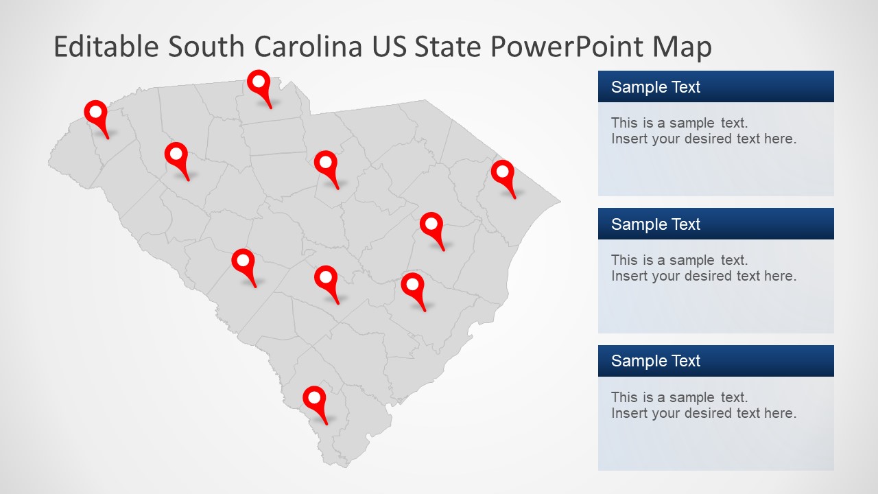
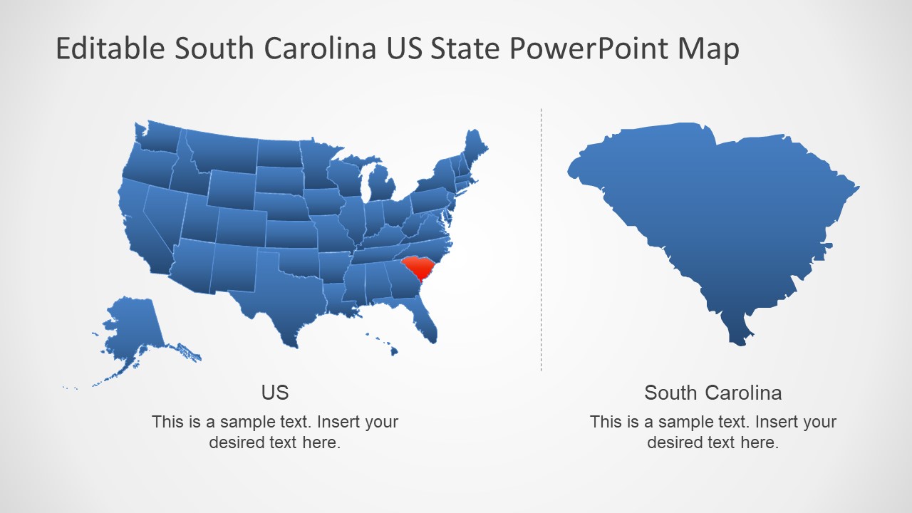
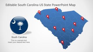
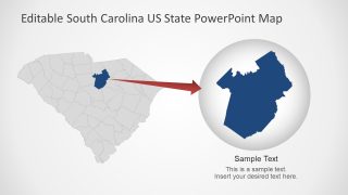
The South Carolina US State PowerPoint Map is a flat vector template for USA political map presentation. The South Carolina map template contains 7 slides to present its counties. These slides display unique layouts for demonstrating South Carolina and its 46 counties. The editing features assist the users to change the colors or shades of these counties in the outline map of South Carolina. South Carolina is one of the history-rich states of USA. Therefore, the users can make an exceptional presentation outlining the past events using South Carolina US State PowerPoint map. For learning purposes, this template can benefit both students and teachers while discussing the geographical region in editable PowerPoint shapes.
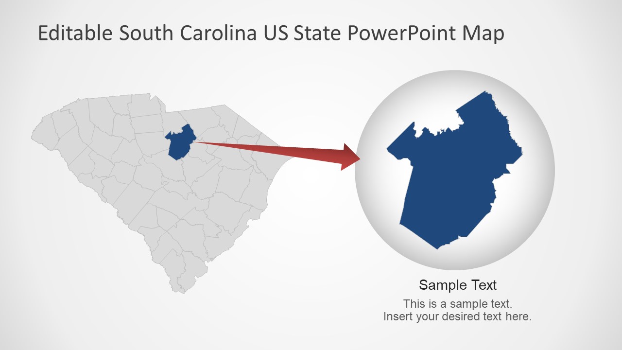
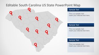
There are 7 slides containing an editable PowerPoint map of South Carolina comprise of location markers, flags, and placeholders. The map itself is a collection of small county units combine to create a state. All the PowerPoint shapes including clipart icons and units of counties are 100% customizable. These include the outline maps in blue and gray color. To change the color of whole state, simply select the figure and choose desired shape fill from format menu. Similarly, for individual elements, double-click to select a county and apply necessary changes to make it stand out.
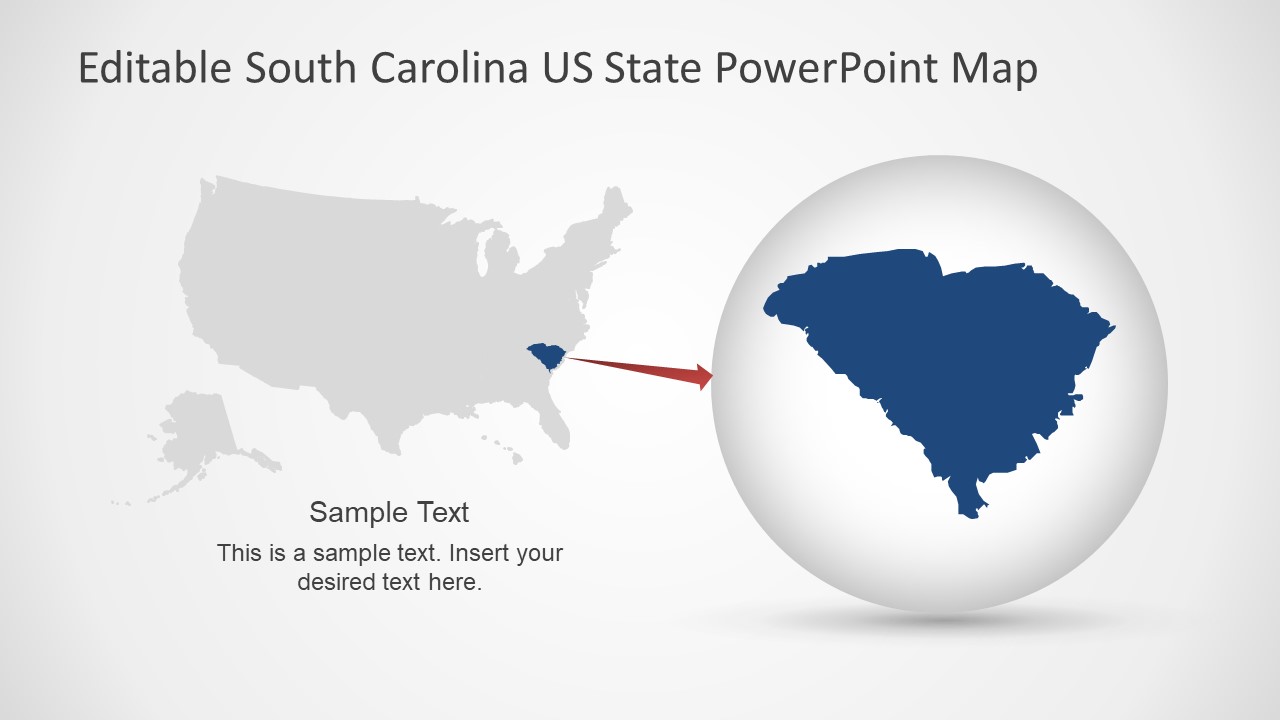
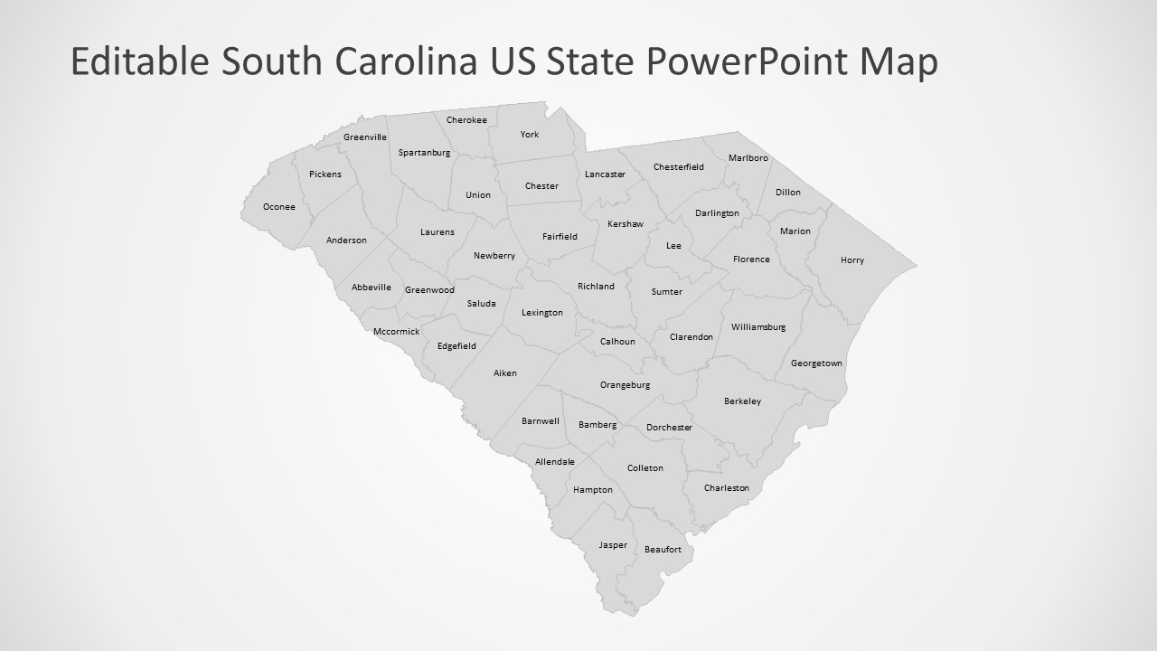
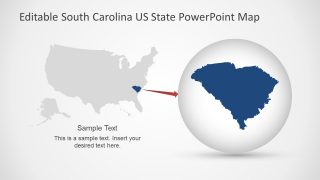
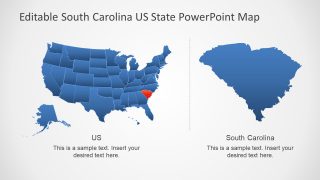
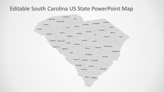
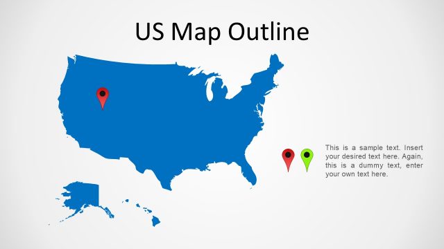
The South Carolina US State PowerPoint Map also provides the two helpful slides of an editable US map. These slides highlight the South Carolina as a part of United States. Furthermore, the last slide of South Carolina US State PowerPoint presents a map with the name of each county. This template can make it easier for users to discover specific location.
