North Carolina US State PowerPoint Map
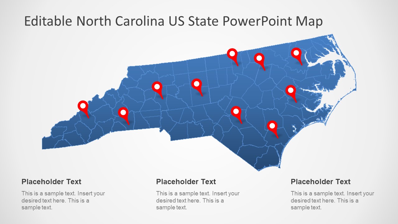
The North Carolina US State PowerPoint Map is a high-resolution presentation of geographical region. The map of North Carolina is professionally designed with flat PowerPoint shapes. These are the editable shapes, therefore, adding effects or resizing the objects will not affect the overall image quality. North Carolina is one of 50 states of America, in its southeastern region. It borders with four other states including South Carolina, Georgia, Tennessee, and Virginia. It is further divided into 100 counties. The state of North Carolina has rich history of natives, Europeans and British colonies and settlements. And the PowerPoint map can visually aid during the presentation of these historic events. Similarly, it could demonstrate three geographic regions and climates. But more importantly, the outline map of North Carolina can demonstrate the areas for sales, business opportunities or travel.
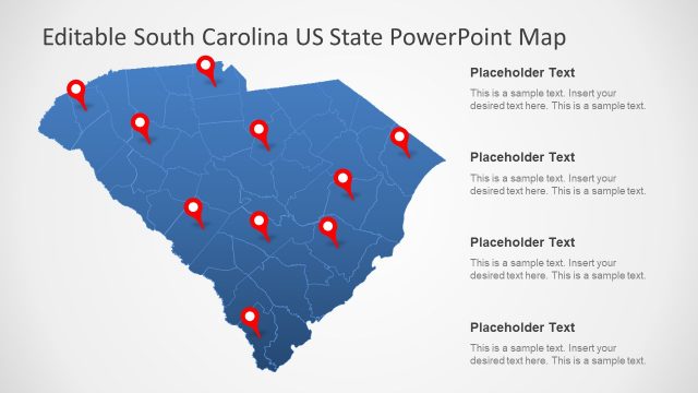
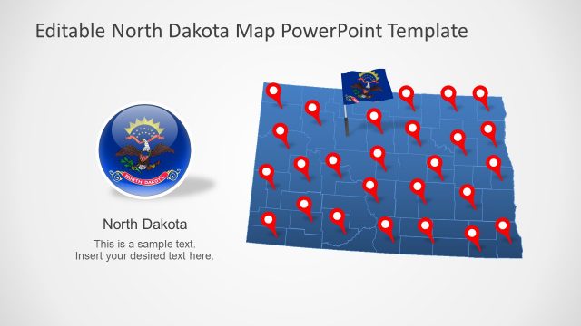
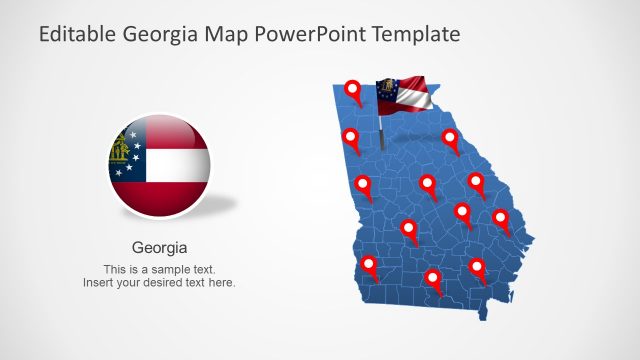
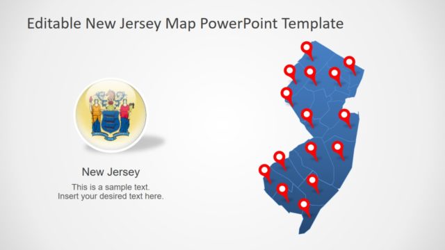
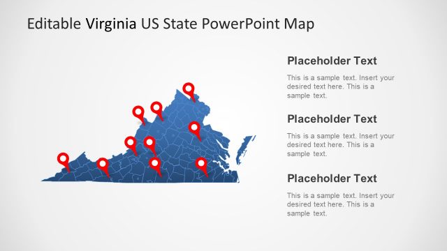
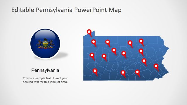
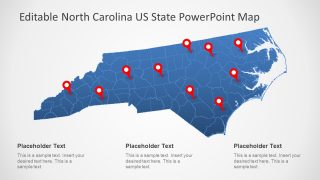
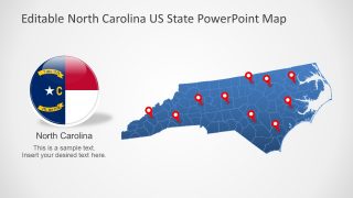
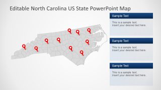
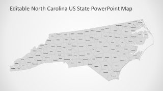
The editable template of North Carolina US State PowerPoint Map has seven slides. The maps contain editable county-units join to create geographical region of North Carolina. Further, these slides display blue and gray outline maps with location pins. These pins could mark a specific location and highlight it. The users can insert text placeholders and add important notes. North Carolina map PowerPoint also provides a badge shape flag button. This could aid as a symbol of state in political and international business discussions.
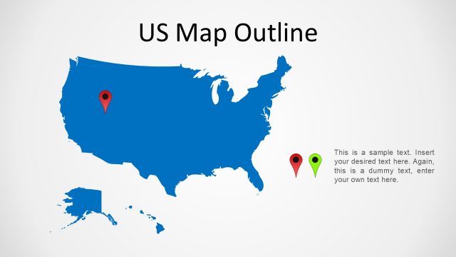
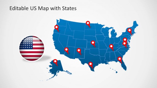
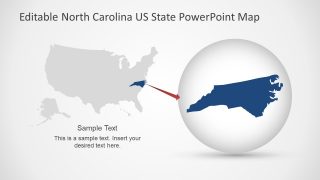
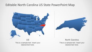
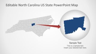
The map presentation of North Carolina contains two slides of editable US map. These slides highlight North Carolina as a part of the United States of America. And highlighting feature in PowerPoint is basically a zoomed-in shape of state or county. The last slide of North Carolina US State PowerPoint map has a special feature. i.e. slide displaying name labels of each county in an editable map.


You must be logged in to download this file.
DOWNLOAD- Category
- Maps
- Rating


 Loading...
- Size
- 16x94x3
- Item ID
- 13024-02
- Colors
Subscribe today and get immediate
access to download our PowerPoint templates.