Sao Paulo City PowerPoint Map
Annotate the characteristics features of Sao Paulo using our editable Sao Paulo City PowerPoint Map. Sao Paulo is located in the southeast region of Brazil, almost 69-70km from the Atlantic Ocean coast. This city is one of the most populous cities in the World. Sao Paulo is known for its financial stability and being an economic center. Its architectural and cultural tradition and historical buildings also add global value.
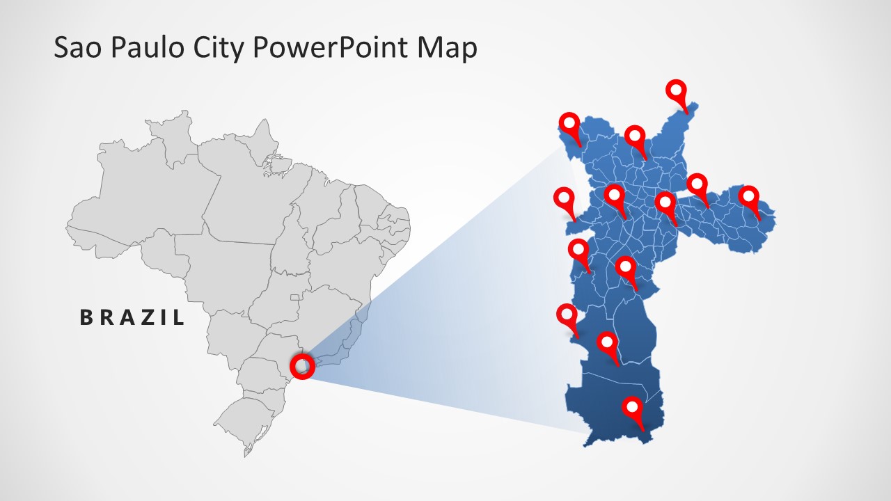
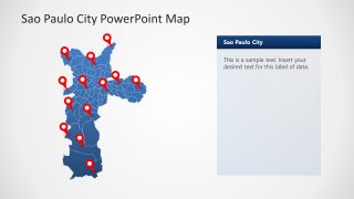
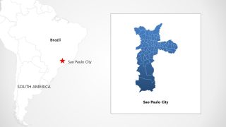
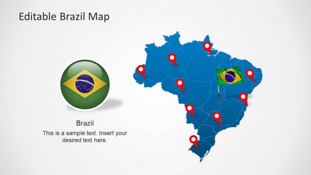
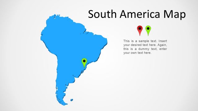
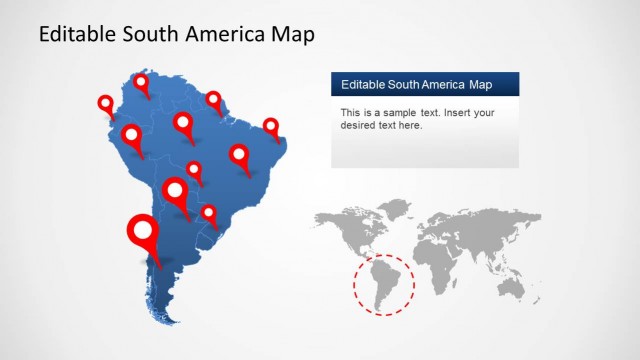
The Sao Paulo City PowerPoint Map consists of three different map representations. The first one shows the grey country map of Brazil in which a Red pointer indicates the location of Sao Paulo. The slide also shows the blue map of Sao Paulo. There are many Red-colored location markers on this map that can be adjusted according to the topic under discussion. The second layout shows a blue map of Sao Paulo city with adjustable location pins. It also shows an editable text box to mention the key points or necessary details. Further on the third slide, there is a white Brazil map with a Star pointer on the site of Sao Paulo. This map also mentions the location of South America near Brazil.
Presenters can use this PowerPoint map template to present any topic relevant to Sao Paulo’s state or city. Travel agents, marketers, and geographic guides can consult these maps to discuss the city’s famous places and tourist attractions. Also, it can be used by educators to elaborate on the importance of Sao Paulo city. The template is 100% editable, and users can customize each component using PowerPoint, Google Slides, Keynote.
