The Barcelona City PowerPoint Map features a sightseeing presentation of popular city of Spain. It is a visual aid for educators, tour guides or business employees that need to describe the highlights of the city. Ideal to support information about Barcelona and it most important places. For example, information about culture, sports, tourist attractions, education, food and more. Hence, it is a brilliant tool for teachers to show the important cities of the world through interesting visuals.
The Barcelona City PowerPoint Map contains amazing silhouette shapes of great architecture buildings and specific locations within a geographic map. It also contains a data driven PowerPoint chart of multiple bars to describe data driven information related to the city. This world’s leading center of tourism, trade and culture has high presentations demand. The teachers, tourist, business and marketing professionals can find this template resourceful for discussing one world’s major global cities.
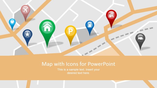
The simple Barcelona City PowerPoint Map template shows the incredible cityscape silhouette within a professional design layout; this helps the user to display its own content within the shapes and maps. The shapes contains famous architectural building of Barcelona as the “Sagrada Familia, designed by Gaudi, famous for uniqueness and because is under construction even now”. Further slides contain simple yet purposeful scenes showing the city of Barcelona. The PowerPoint maps show location pins and marker icons over the Barcelona city which are 100% editable. Whereas, the presentation also provides a complete map of Spain with star icon to highlight the Barcelona City.
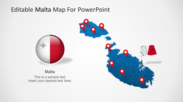
The seven slides of Barcelona city includes three map templates. Specially, the blue Spain map outline contains the editable segments for each city. Therefore, the users can also highlight other cities of Spain along with Barcelona.
Users can find templates of other cities like Frankfurt, Washington DC and Portland for users.
What’s inside this template
Example presentation scenarios
- A tour operator can present a Barcelona itinerary by using the city pin map to mark attractions and the Sagrada Familia slide to introduce a key landmark.
- An educator can explain Barcelona within Spain by showing the local marker map, then switching to the Spain locator map with Barcelona highlighted.
- A destination marketer can frame a campaign around the skyline slides and use the bar chart to compare city-related activity across years.
- A business development presenter can brief a regional team on target areas by using the Barcelona pin map for local zones and the Spain map for national context.
Features
- 100% editable presentation template
- Compatible with Microsoft PowerPoint and Google Slides
- 16:9 aspect ratio slides
- Scalable vector shapes, icons and illustrations
- AI-Ready for Microsoft Copilot and Claude
- Instant access and download
Frequently asked questions
Q: How should I use the deck to explain a Barcelona story clearly?
A: Open with the skyline cover to establish the city, then move to the Sagrada Familia callout for a recognizable anchor. Use the Barcelona pin map to organize attractions or branch locations, and reserve the bar chart for one measured comparison such as visitation, demand, or annual activity. Keep each map tied to one takeaway.
Q: Who is this map template best suited for?
A: It fits tour operators, educators, destination marketers, real estate teams, and business presenters who need to orient an audience around Barcelona. The deck is strongest when the goal is to connect places to decisions: where to visit, where activity is concentrated, or how Barcelona relates to the broader Spain map.
Q: Why do the skyline, pins, and locator maps work well together?
A: The skyline creates instant place recognition, while pushpins act as a location metaphor that signals specific points of interest. The Spain locator map then changes scale from city detail to national context. This mix helps audiences understand both the emotional identity of Barcelona and the practical geography behind the message.


Barcelona City PowerPoint Map
7-slide Barcelona city map presentation template with skyline silhouettes, locator maps, and a bar chart
The Barcelona City PowerPoint Map is a 7-slide presentation template for explaining Barcelona locations and city highlights. It includes a skyline title slide, Sagrada Familia landmark callout, Barcelona pin maps, Spain locator maps, a skyscraper silhouette slide, and a bar chart for city-related metrics in Microsoft PowerPoint and Google Slides.
- Category
- Maps
- Rating


 Loading...
- Aspect ratio
- 16:9, 4:3
- Item ID
- 7764-01
- Colors
 Microsoft PowerPoint
 Microsoft Copilot
 Claude for PowerPoint
Other formats supported
Subscribe today and get immediate
access to download our PowerPoint templates.