Michigan US State With Counties PowerPoint Map
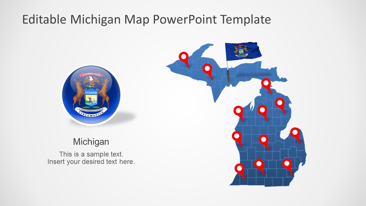
The Michigan US State With Counties PowerPoint Map is a geographical presentation of USA State. Michigan is East North Central state of USA in Great Lakes Midwestern region. It has coastlines of 4 Great Lakes i.e. Lake Superior, Lake Michigan, Lake Huron, and Lake Erie. This state shares borders with Ohio, Indiana, Wisconsin, and Canadian province Ontario. The SlideModel collection of USA maps include several state maps. These are detailed map templates that highlight certain geographical locations of USA State. In this way, the silhouette shapes of Michigan map will provide informative geographical insights. Therefore, this state map PowerPoint could be used to discuss various social and economic concept presentations.
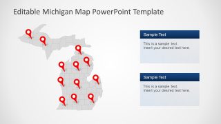
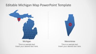
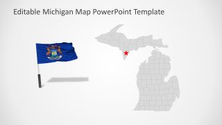
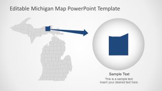
The PowerPoint templates of Michigan map include 7 slide versions of editable maps. This map template outlines the counties of Michigan in individual PowerPoint shapes. Further, this map is fully editable and allows users to customize each county shape or entire map altogether. For example, change existing blue and gray PowerPoint background color maps with gradients. Or, color code counties according to statistical data. These map slides also include location markers and flag pointers. There are two slides that highlight counties of Michigan by resizing editable county PowerPoint Shape.
The Michigan US State With Counties PowerPoint Map is a suitable presentation tool for education and business. For instance, school presentation about USA’s geographical region or regional offices of business corporate. These flat template map design could be presented through google slides themes.
