Malta PowerPoint Map Template
The Malta PowerPoint Map Template presents the geographical aspects of Malta through interactive visual maps. The presenter can use this template to showcase Malta’s tourist attractions, businesses or discuss location vise subjects. It brings the attention of audience by using geographically relevant icons.
Malta, an archipelago island country which has 3 large islands with rocky coasts. It is a small country filled with interesting activities including boats, yachts and vacation cruises. Beautiful sea views, beaches and deep-sea scuba diving. Cities are crowded with local craft markets and restaurants. To demonstrate all these interests, users can take a maximum advantage of this PowerPoint Template. This presentation is also suitable for those who have or want to propose business in Malta. For instance, pin mapping cities to display sales territories, business, office or franchise location, travel plans and much more.
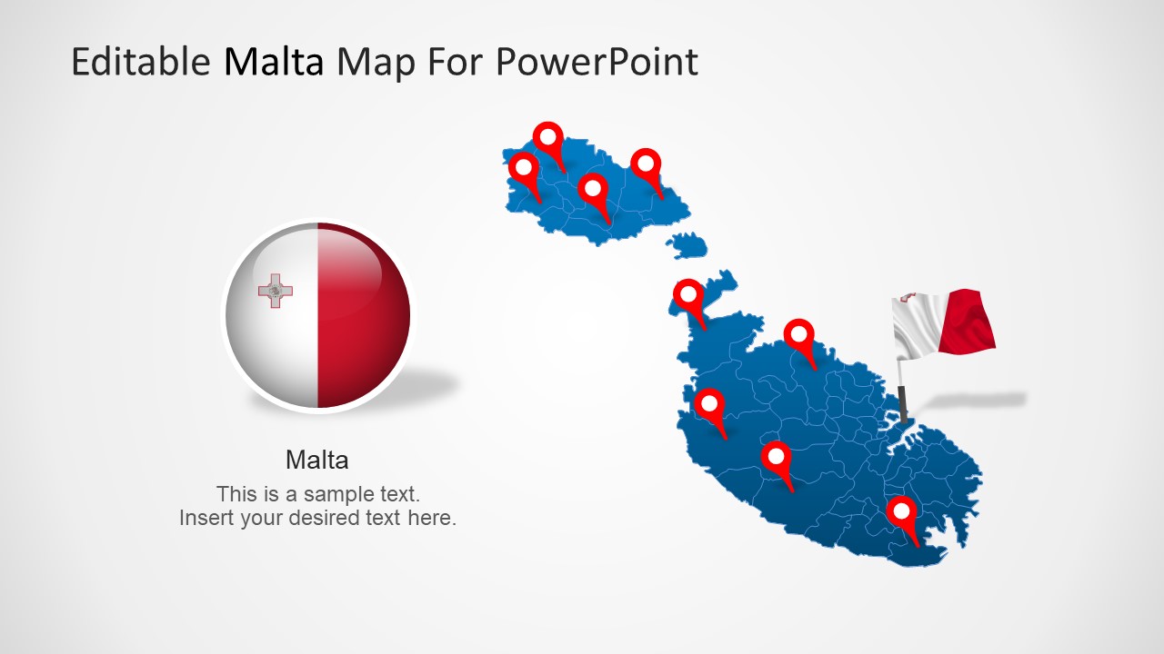
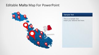
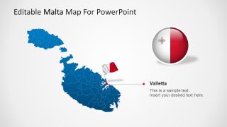
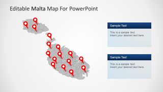
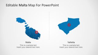
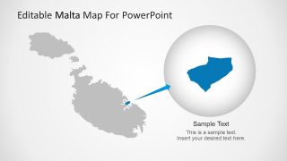
The main slide in the Malta PowerPoint Map Template shows a country chart with location pointers and round flag design. There are three slides with editable side text fields to add presentation points. The template carries several slides with different customization in shape design. These customization includes change in color, mapping pins, drawing with and without cities. Two slides have assorted styles to show a closer look at Malta’s capital city Valletta. It gives audience an opportunity to easily visualised several cities like Valletta.
This high-quality PowerPoint Presentation is created to display map locations and geographical details of Malta. The maps are vector based and 100% editable. It means, color, size and shading can be modified for effective presentation. The users can highlight cities for business figures by changing color or adding number on cities.
