Louisiana State US PowerPoint Map
The Louisiana State US PowerPoint Map is a high-quality editable map template. It is a collection of individual parishes placed together to create map of Louisiana State. SlideModel catalog includes a range of country and US state maps. These PowerPoint maps are useful for displaying geographic areas for various location related presentations. For example, socio-economic statistics of region, consumer market, or political geography.
Louisiana is the South Central state of the USA. It is the 25th populous of 50 U.S. States. The State’s capital city is Baton Rouge and largest city is New Orleans. It shares borders with Taxes, Arkansas, Mississippi, and Mexico. It is the only U.S. state with a political subdivision of parishes instead of counties. Louisiana is famous for festivals like New Orleans Jazz and Heritage and Voodoo experiences.
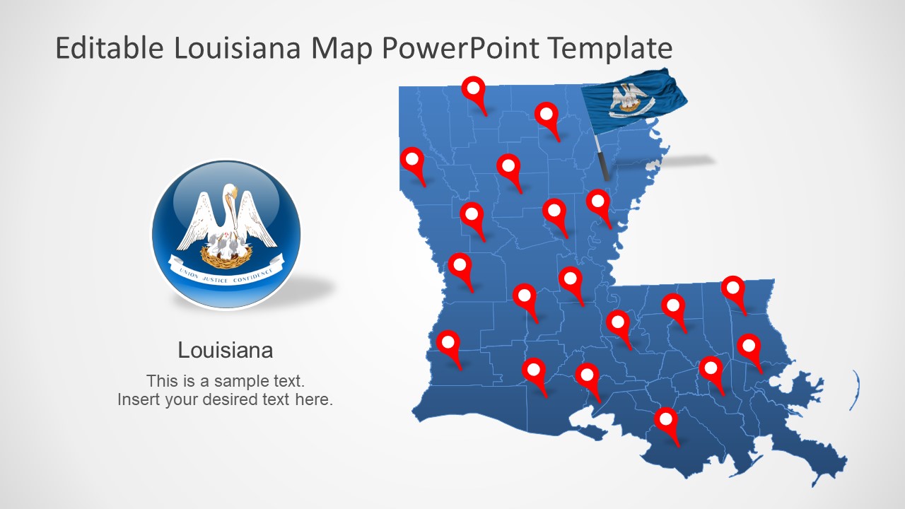
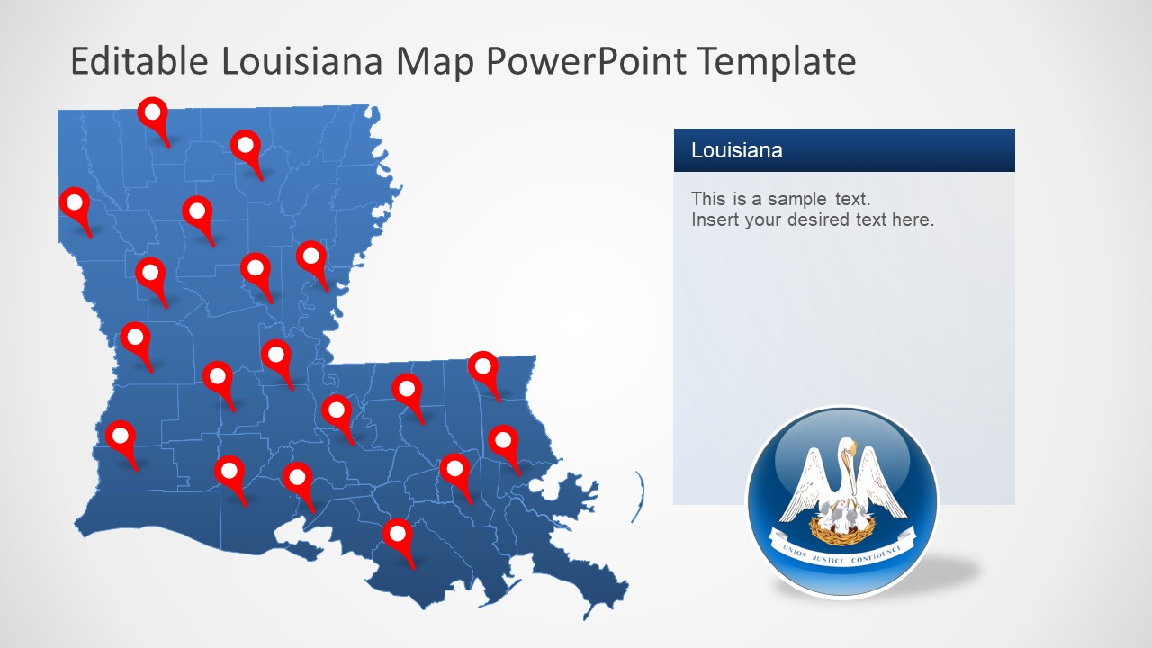
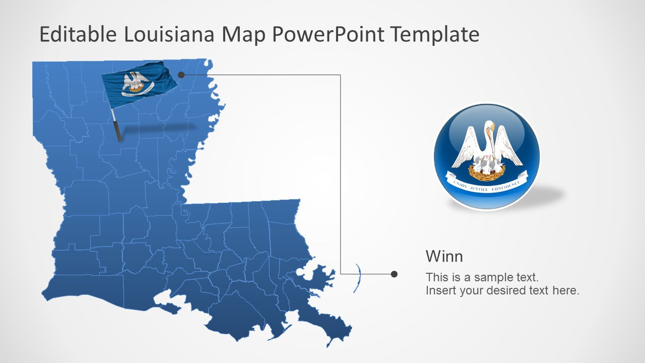
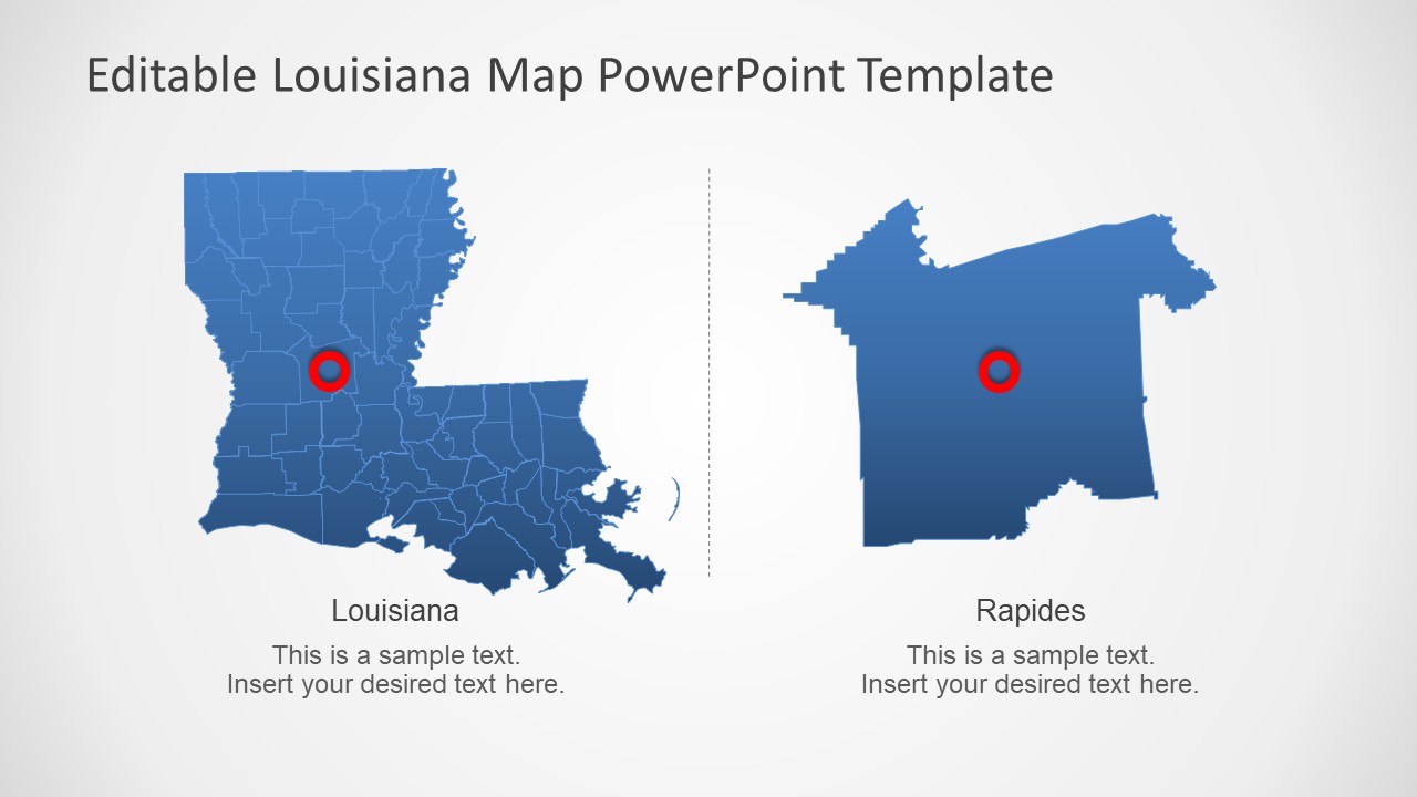
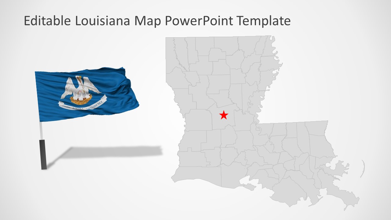
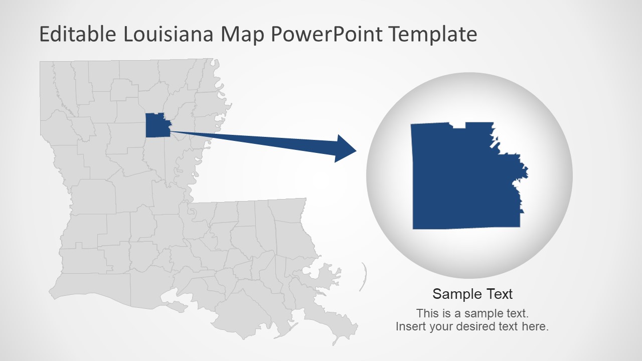
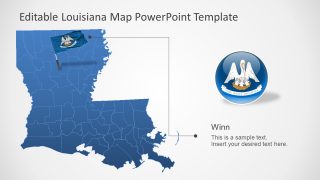
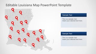
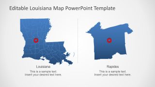
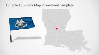
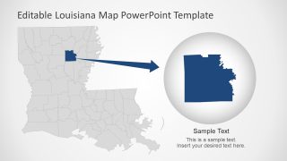
Louisiana State US PowerPoint Map contains 7 slides of blue and gray silhouette maps. These slides present various layout designs for Louisiana’s geographical maps. Such as different text placeholder styles and placement of additional graphics. These graphics include location markers, flag PowerPoint shapes, and labels to complement silhouette map templates. There are two slides that highlight parish of Louisiana by creating a zoom-effect. These slides will assists users to create more segments of other parishes.
The users can change color fill of Louisiana Map template or apply different colors to each editable segment. For instance, present Louisiana map alongside geographic statistical report with multiple colors based on different values.
