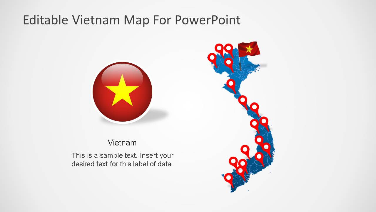
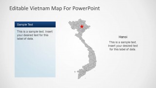
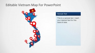
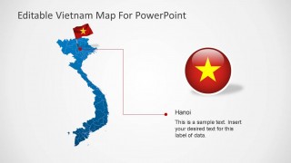
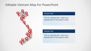
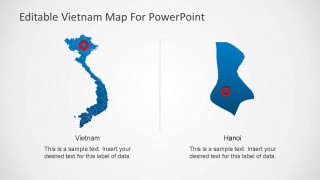
Editable Vietnam PowerPoint Map is a presentation containing outline and political boundaries of the Socialist Republic of Vietnam. The PowerPoint Map is created with the combination of each state of the Republic created as an individual PowerPoint object, enabling the user full customization of the map and its properties. The slides also includes Vietnam flag and circular icons of different size with the national colors. The template provides a slide with a highlight of Vietnams capital, Hanoi. The presentation comes with a set of GPS marker icons in order to let the user mark different locations within the map.
Engage global audiences with this outstanding Editable Vietnam PowerPoint Map, and complement your lecture with additional geographical shapes from our Maps catalog.
The Socialist Republic of Vietnam is located in the Asia Continent, and its borders are China, Laos, Cambodia, and the South China Sea.
What’s inside this template
Example presentation scenarios
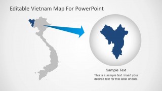
- A market analyst can use the political boundary map and regional zoom slide to explain where a Vietnam expansion plan will focus and why those areas matter.
- A logistics manager can use the red GPS marker layouts to show warehouse, port, customer, or route locations across Vietnam during an operations briefing.
- An educator can use the Hanoi locator slide and Vietnam flag badge layouts to introduce the country, its capital, and major geographic reference points.
- A nonprofit or government presenter can use the gray map with stacked text panels to compare program sites, regional priorities, or field office coverage.
Features
- 100% editable presentation template
- Compatible with Microsoft PowerPoint and Google Slides
- Scalable vector shapes, icons and illustrations
- AI-Ready for Microsoft Copilot and Claude
- Instant access and download
Frequently asked questions
Q: How should a presenter structure a Vietnam briefing with this map template?
A: Start with the full-country map to orient the audience, then move to marker slides for locations, and use the Hanoi callout only when the capital is central to the point. Keep each map slide focused on one question: where activity occurs, what region matters, or which location needs action.
Q: Who is this template best suited for?
A: This template is best for presenters who need to discuss Vietnam as a specific territory rather than as one country in a broad regional report. Consultants, educators, logistics teams, NGOs, and country managers can use the boundary map, red location pins, and regional zoom to make geographic decisions easier to follow.
Q: Why do the pins, flag badges, and zoom callout help communication?
A: The design combines national identity with precise location cues. The flag badge identifies the country instantly, the red pins create a consistent location marker system, and the zoom callout shifts attention from the whole country to one region. That visual movement reduces ambiguity when the presenter discusses specific places.


Editable Vietnam PowerPoint Map
8-slide PowerPoint map template for Vietnam boundaries, Hanoi callouts, and location markers
Editable Vietnam PowerPoint Map is an 8-slide map template for geographic presentations about Vietnam. It includes a political boundary map, Hanoi locator callouts, location marker maps, and a regional zoom callout. The deck is built for business, education, logistics, tourism, policy, and market-entry presentations in PowerPoint.


 Loading...
 Microsoft PowerPoint
 Microsoft Copilot
 Claude for PowerPoint
Other formats supported
Subscribe today and get immediate
access to download our PowerPoint templates.