Editable Nicaragua Map PowerPoint Template
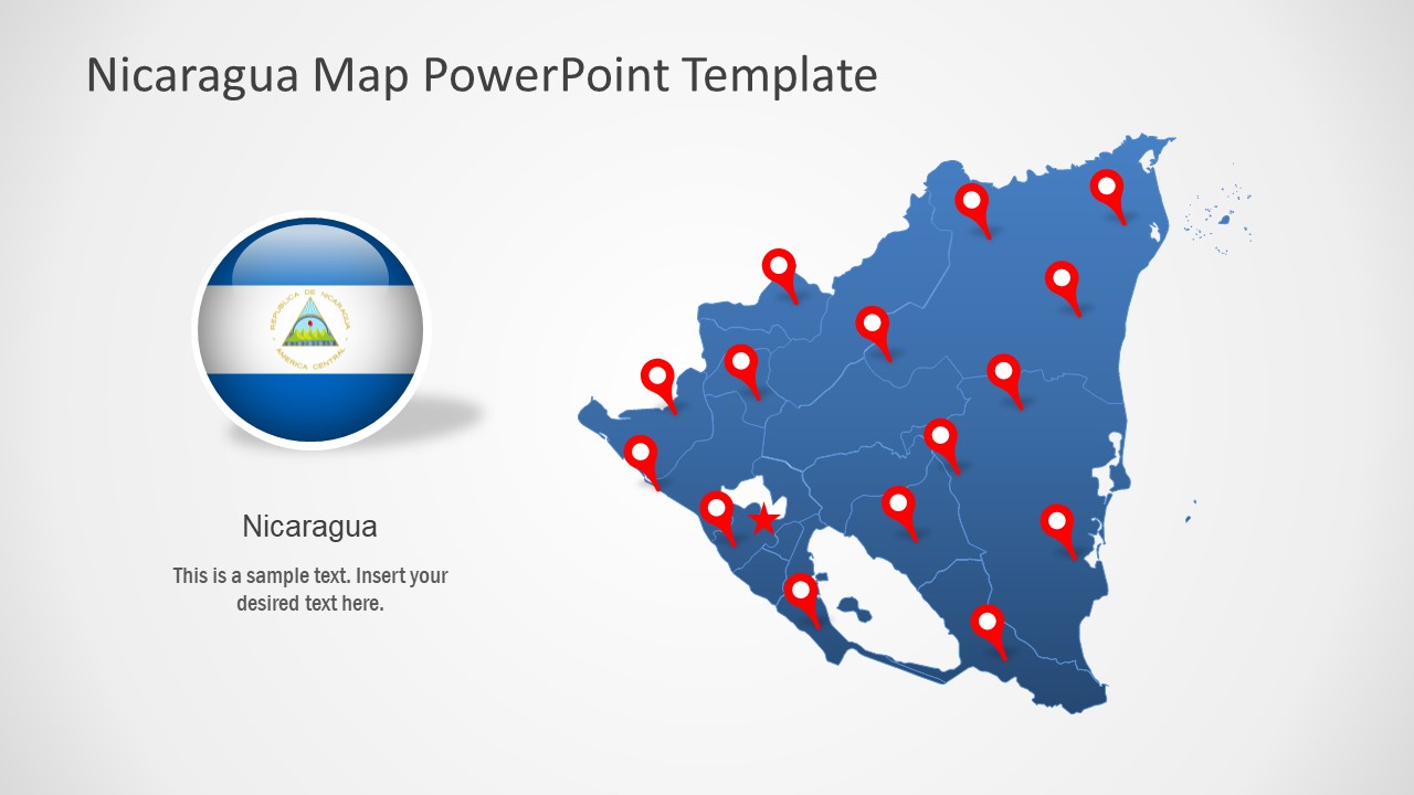
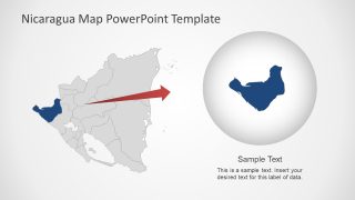
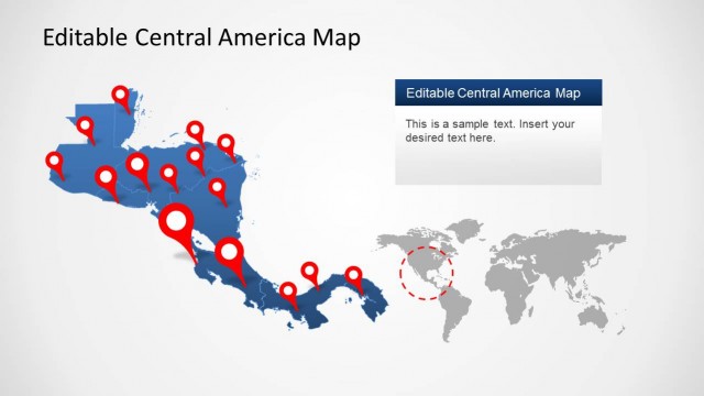
The Editable Nicaragua Map PowerPoint Template is a silhouette Central America outline map. This map template includes 8 slide design variations to present regional concepts of Nicaragua. Nicaragua shares borders with Honduras in north, Costa Rica in South and Caribbean Sea. It is one of the largest countries in Central America known for its lakes, beaches, and volcanoes. Granada, the city in south is home to Spanish colonial architecture. This country offers investment business opportunities in livestock, food processing, forestry, and biofuel. The outline map template could help demonstrate all business and informative presentation.
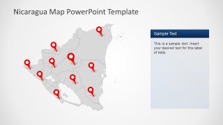
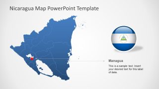
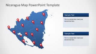
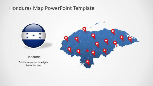
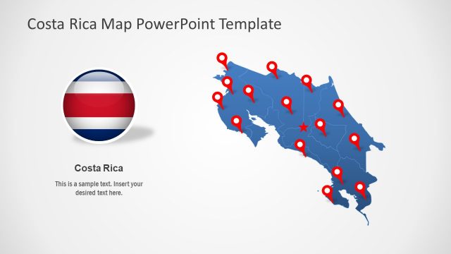
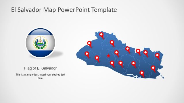
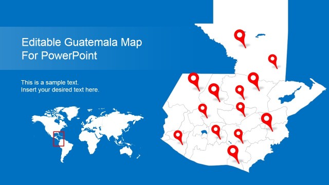
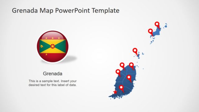
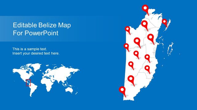
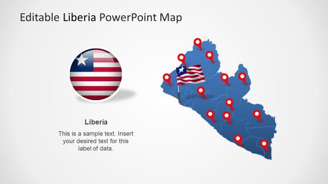
The PowerPoint map of Nicaragua with help presenters save time and provide flexibility to customize maps. Because PowerPoint templates of Nicaragua include editable segments for municipalities bundled up to make a whole map. The slide deck shows outlined political boundaries of all 10 municipalities. Since these are editable silhouette shapes, users can change colors and resize them without affecting image resolution. Further, this map PowerPoint offers a few add-ons such as location pin markers and flag clipart. These elements will help highlight various regions of map in presentation.
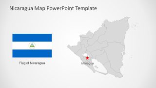
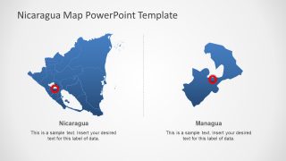
The Editable Nicaragua Map PowerPoint Template could demonstrate sales territories, multiple business locations, demographics, etc. There are two slides designed to highlight municipalities in two contents layout. These slides display large PowerPoint shapes to discuss specific geographic regions in detail. The users can change colors of silhouette maps and PowerPoint backgrounds to personalize brand presentation. Furthermore, these flat map templates of Nicaragua PowerPoint could be presented to an online audience through Google Slides themes. Also, check our complete collection of Central America Maps PowerPoint templates.
