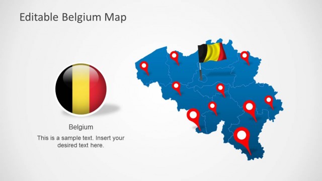
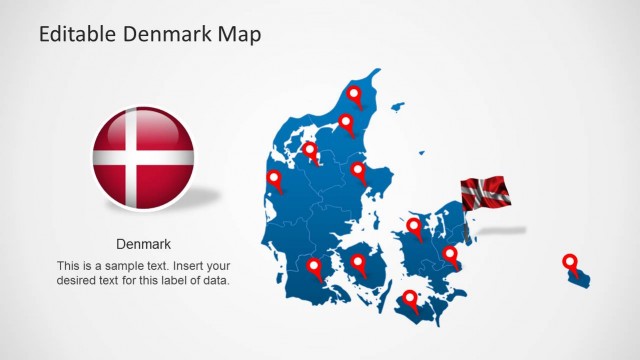
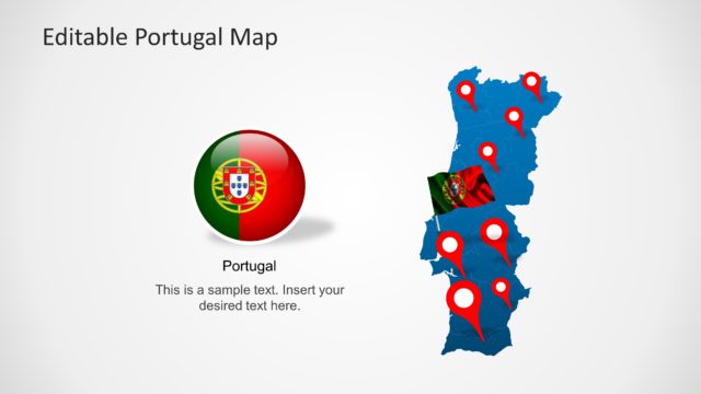
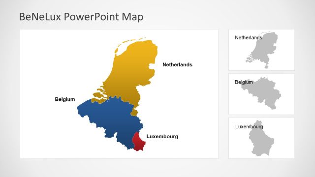
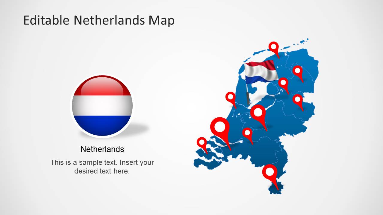
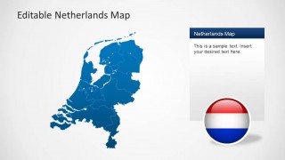
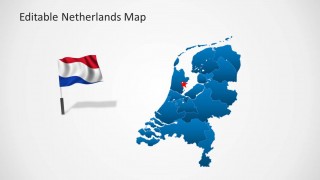
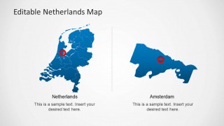
Download the Editable Netherlands Map Template for PowerPoint presentations. This map template comes with a complete map of Netherlands with all major areas laid out perfectly in editable form. You can separate these areas from the main map via drag and drop.
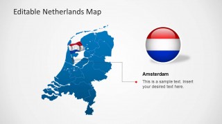
The template also features a flag of Netherlands in the form of a standard flag clipart, as well as in badge form.
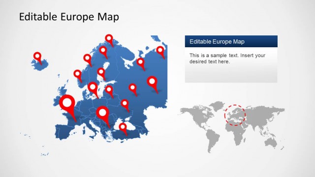
You can also download Map Templates for PowerPoint for other parts of Europe from our Europe Map Templates for PowerPoint.
What’s inside this template
Example presentation scenarios
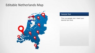
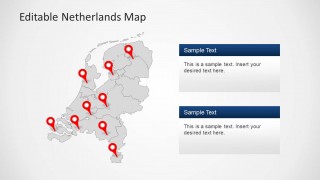
- A sales manager can present Dutch territory coverage by using the pin marker maps to show priority cities, account clusters, or branch locations.
- A logistics presenter can explain delivery reach inside the Netherlands with the full country map, red markers, and regional callout panels.
- An educator can introduce Netherlands geography by combining the regional map, Dutch flag visuals, and Amsterdam detail slide.
- A consultant can frame a market entry discussion with the national map, highlighted location markers, and the regional zoom slide for a target area.
Features
- 100% editable presentation template
- Compatible with Microsoft PowerPoint and Google Slides
- Scalable vector shapes, icons and illustrations
- AI-Ready for Microsoft Copilot and Claude
- Instant access and download
Frequently asked questions
Q: How should a presenter structure a location briefing with this Netherlands map template?
A: Start with the full Netherlands map to orient the audience, then move to slides with red pins for specific sites or territories. Use the callout panels for one decision point at a time, such as priority region, office location, or delivery zone. Keep each map focused on a single geographic takeaway.
Q: Who is this template best suited for?
A: This template works best for presenters who need to explain Netherlands-specific geography without building a map from scratch. Sales teams can show territories, operations teams can show facilities or routes, educators can teach regional context, and consultants can point to target markets using the pins, Amsterdam detail, and regional zoom.
Q: Why do the pin markers, flag badge, and zoom slide make the message clearer?
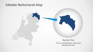
A: The red pins create immediate attention on exact locations, while the Dutch flag badge reinforces national context before details appear. The zoom slide changes scale from country view to a selected region, which helps the audience understand both the broader map and the local area being discussed.


Editable Netherlands Map Template for PowerPoint
8-slide PowerPoint map template for Netherlands regions, pins, flags and location badges
The Editable Netherlands Map Template for PowerPoint is an 8-slide map presentation template for showing Dutch regions, location markers, and national flag visuals. It includes full Netherlands maps, pin marker maps, text callout panels, an Amsterdam detail slide, and a regional zoom diagram for business, education, logistics, and market briefings in PowerPoint.


 Loading...
 Microsoft PowerPoint
  Microsoft Copilot
  Claude for PowerPoint
 Other formats supported
Subscribe today and get immediate
access to download our PowerPoint templates.