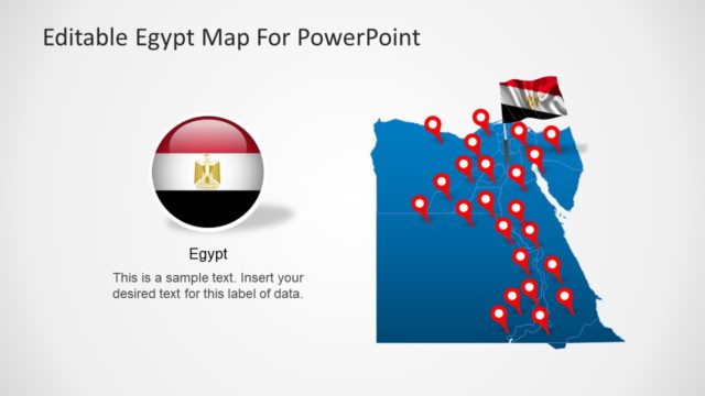
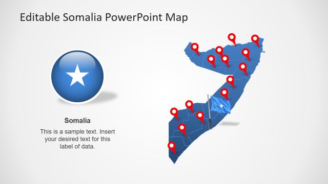
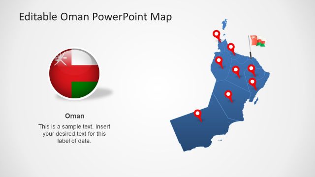
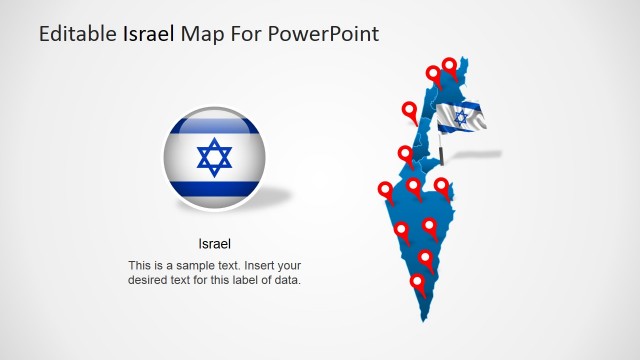
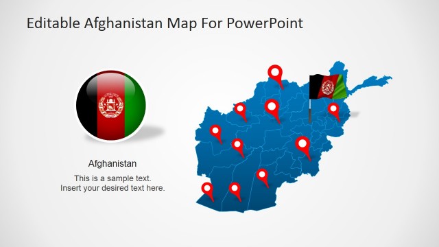
Editable Iraq PowerPoint Map
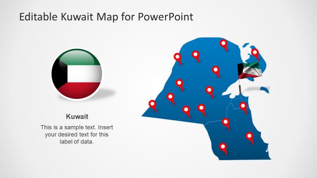
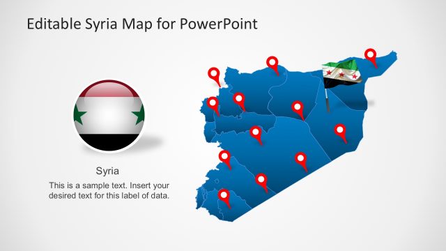
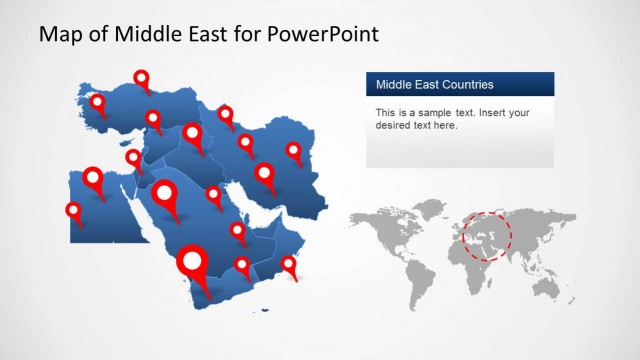
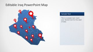
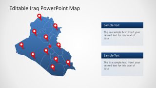
The Editable Iraq PowerPoint Map presents seven slides to present the region of Southwestern Asia country. These are the design variations of Iraq’s outline maps. The slides offer blue and gray silhouette maps containing icons like location markers, flags, and content labels. The combination of graphics is helpful for presenting topics about geographic regions. You can add these slides to your business presentation for visualizing store locations in Iraq for example. The location markers are useful for pinpointing areas on maps such as capital cities, important towns, parish boundaries, and travel routes.
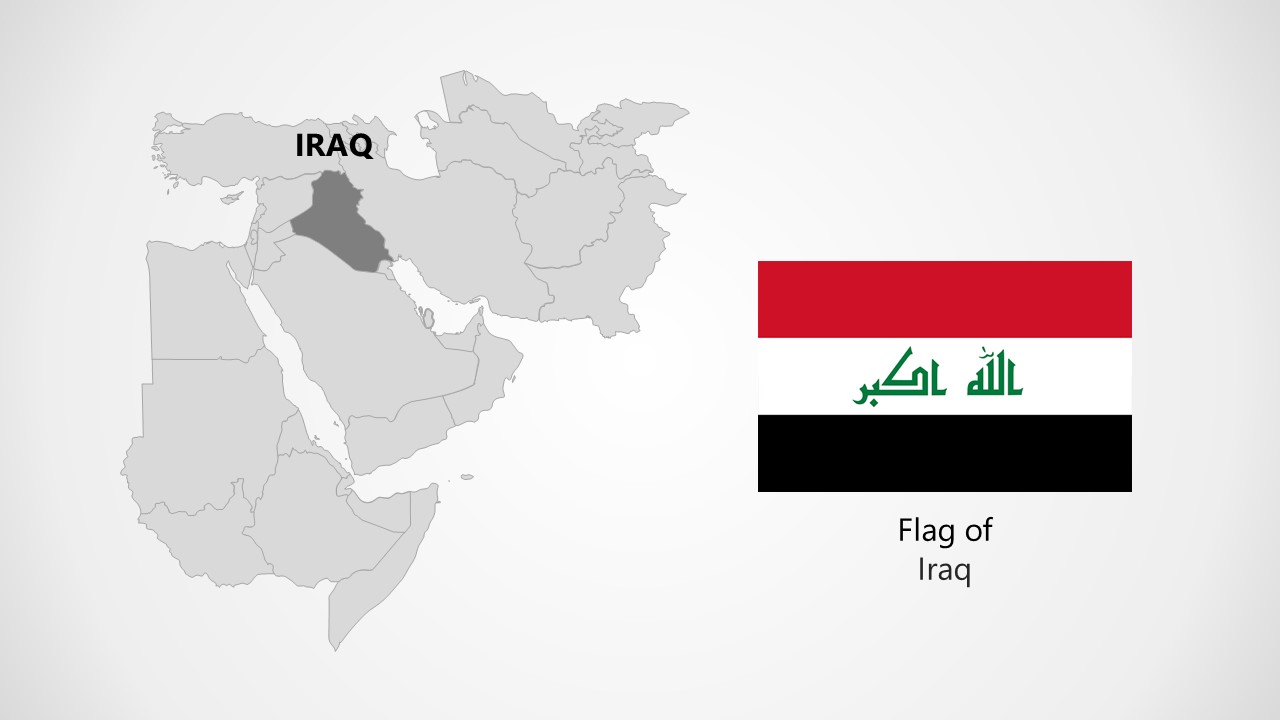
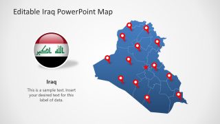
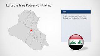
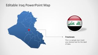
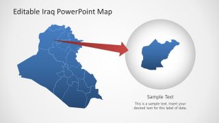
Iraq is a country with one of the world’s earliest civilizations – is rich in history and archeological findings. It borders Turkey, Iran, Jordan, and Syria and holds geographical importance in the Arab world. Baghdad is the capital and largest city of Iraq. It has 19 administrative divisions.
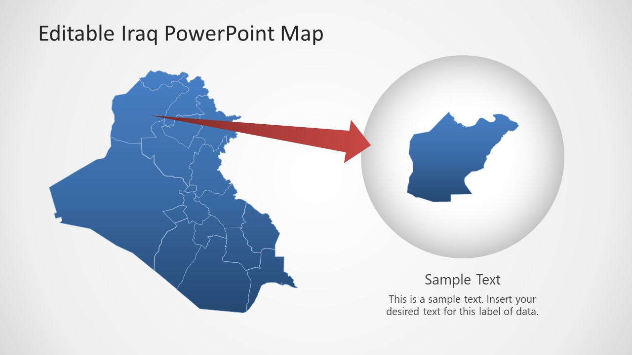
This editable Iraq PowerPoint template includes a map outline with the 19 administrative divisions. Star icon points to the capital city i.e. Baghdad. The PowerPoint map template for Iraq consists of professional layouts of geographical maps. These slide designs come in handy when presenting regions of the county. Especially for global information presentations, Iraq’s political map template can highlight the key areas.
The Editable Iraq PowerPoint Maps are high-quality vectors. The administrative divisions on the map are separately editable elements that can be customized in many ways. You can present each segment in different colors for a color-coded statistical report. Take an example of climate presentation where you can add shades of red, yellow, and green to display intense weather and the effects of climate change. Alternatively, you can download other editable map templates for PowerPoint and Google Slides, with 100% editable objects, country outlines and flags.


You must be logged in to download this file.
DOWNLOAD- Category
- Maps
- Rating

 Loading...
- Size
- 16x9
- Item ID
- 21115-01
- Colors
Subscribe today and get immediate
access to download our PowerPoint templates.