Editable Costa Rica Map PowerPoint Template
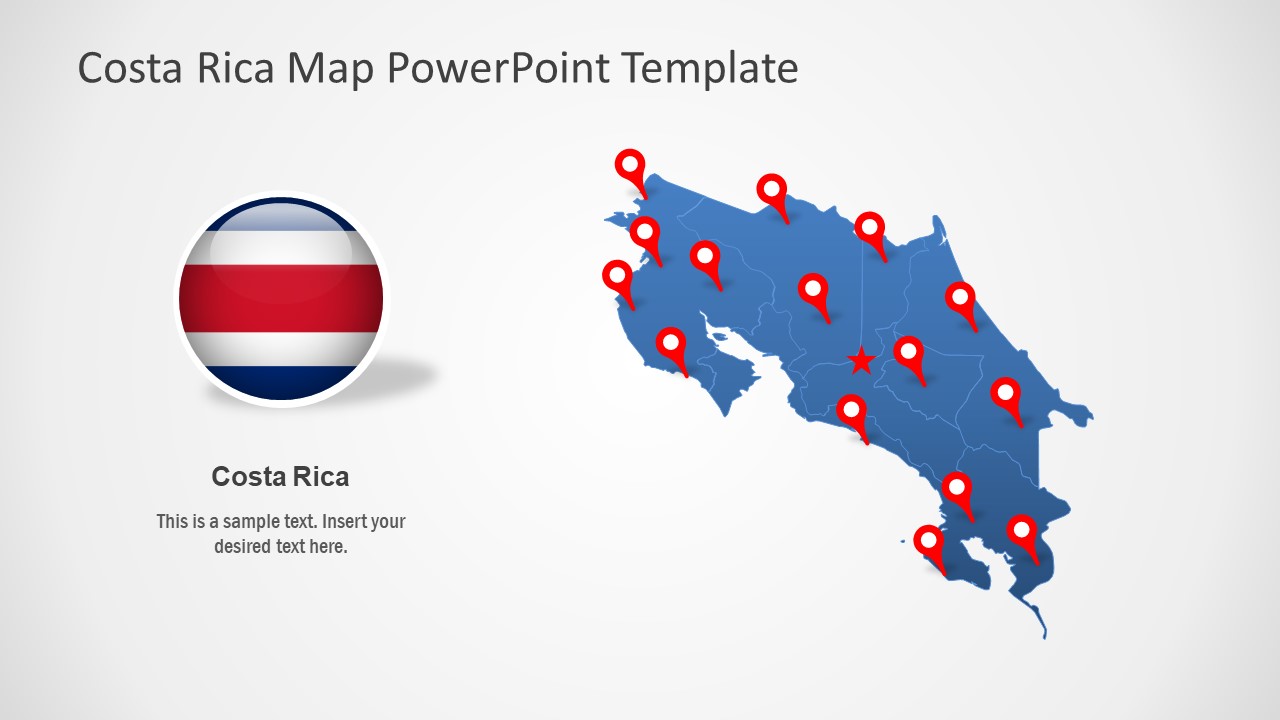
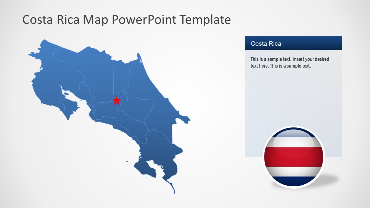
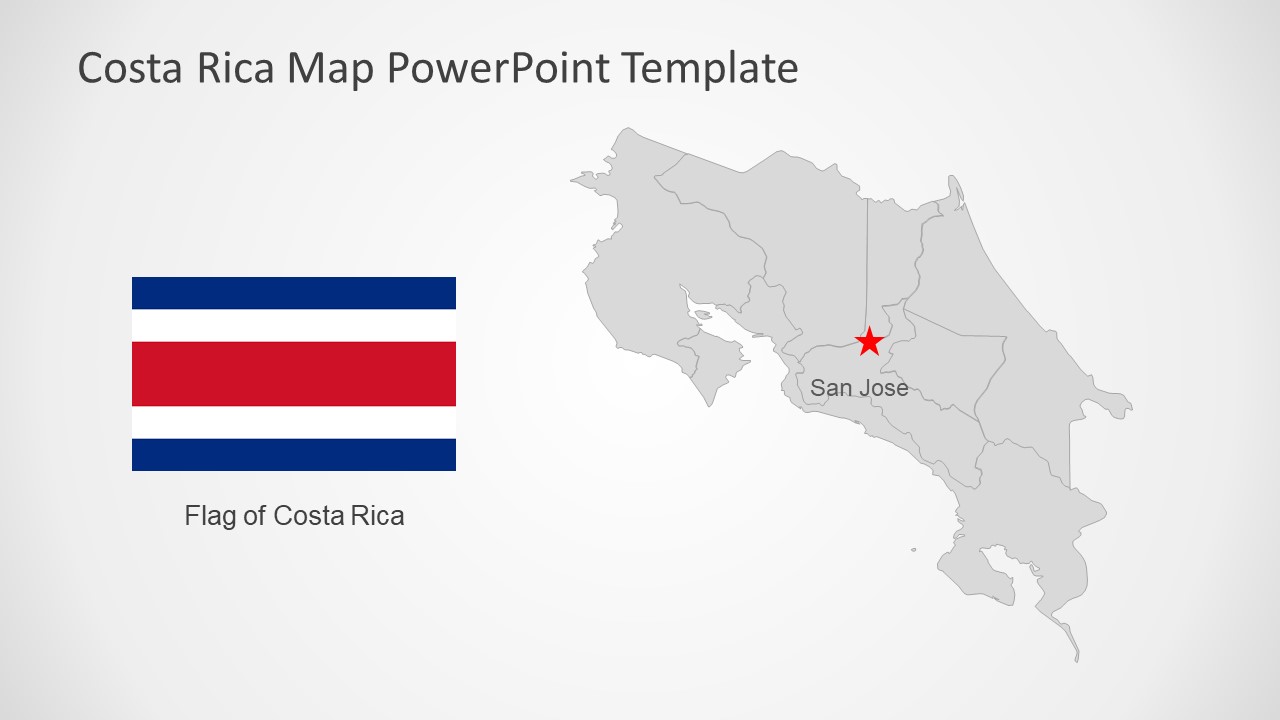
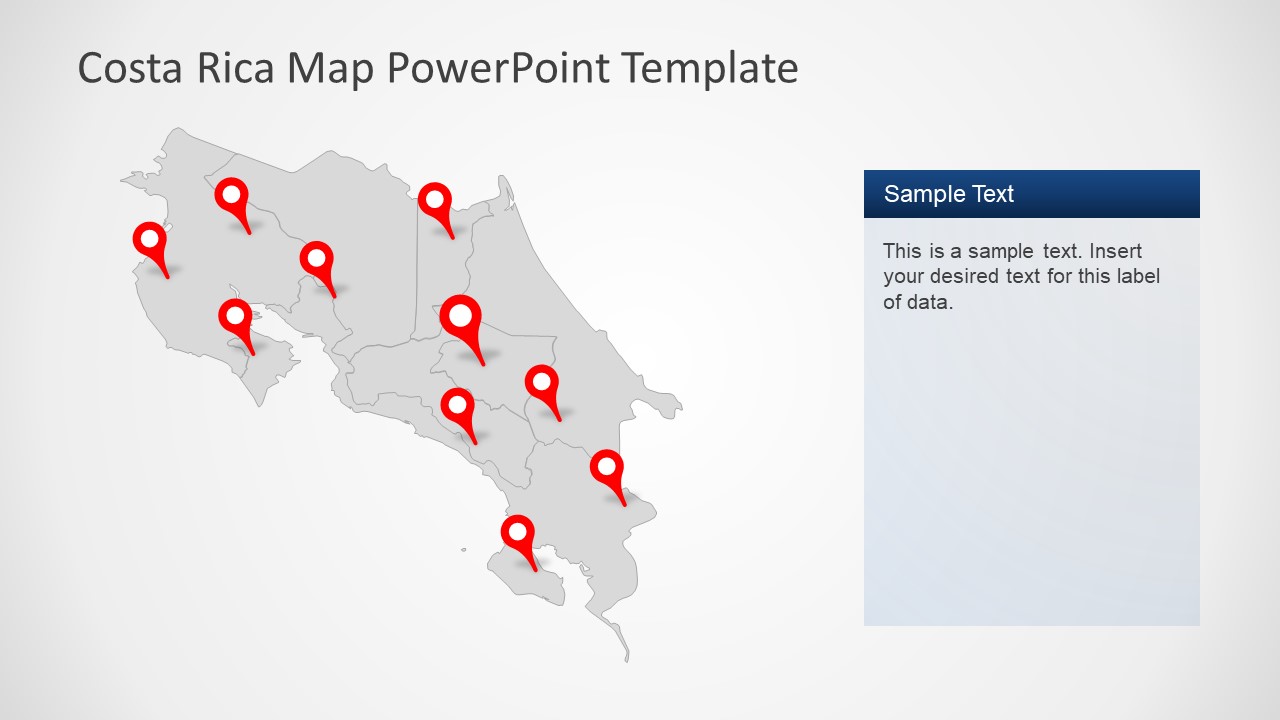
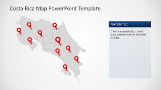
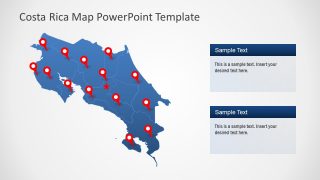
The Editable Costa Rica Map PowerPoint Template is a collection of 8 slides. These slides display country’s geographical region. The pre-made map PowerPoint templates are quick drawing tools to customize regional presentations. Such as country demographics, socio-economic statics, promoting tourism, and marketing opportunities. The users can customize these maps of Costa Rica by editing text, adding more content, or changing effects. Simply download an editable map of country and apply quick changes and present it to executive audience. Or, open presentation template in google slides themes for presentations over the internet. The use of maps will help pinpoint specific locations on geographic region of Costa Rica.
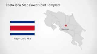
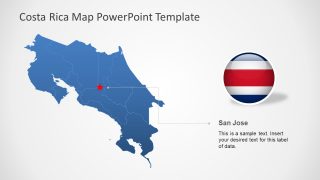
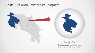
Costa Rica is a country in Central America with coastline on Pacific Ocean and Caribbean Sea. It also shares borders with Nicaragua and Panama. The area of Costa Rica is 51,100 KM2 that is close to West Virginia U.S. State in size. Costa Rica has 7 provinces and this outline map provides editable segments of these provinces. It helps users to customize each segment individually according to presentation requirements. Further, country map includes flat flag PowerPoint shapes for more visually appealing content.
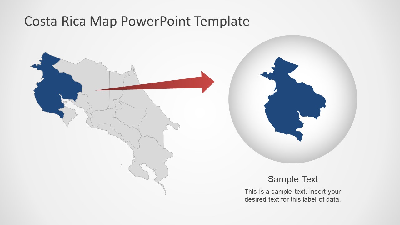
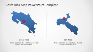
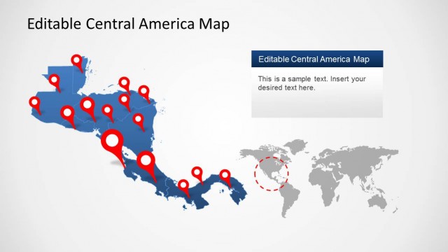
The Editable Costa Rica PowerPoint Template offers two slides that highlight provinces of country by resizing shapes. The users can create similar slides to discuss regional issues in detail. Furthermore, editable PowerPoint shapes help presented to personalize layouts. For example, change colors, apply shape effects or PowerPoint background. Also, check our complete collection of Central America Maps PowerPoint templates.
