Slide 4 of 8 from Detroit PowerPoint Template
Editable Map of PowerPoint for Detroit
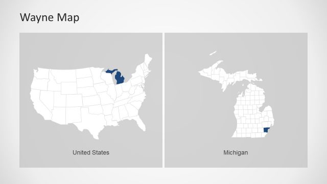
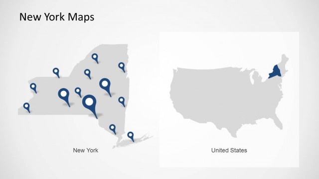
Wayne Map of Michigan and USA
- Map
- Country Map
- Context Slide
- 16:9
- 100% Editable
What’s on This Slide
The slide features two maps, one on the left and one on the right. The left map displays a detailed view of Wayne County in Michigan, highlighted in blue with several location markers. The right map shows a broader view of the United States, with Michigan also highlighted in blue. The title 'Wayne Map' is positioned at the top left, while the label 'United States' is centered at the bottom of the right map. The overall layout is clean, with a light background and a clear visual hierarchy emphasizing the maps.
How to Use It
This layout serves as a geographic representation, ideal for illustrating specific locations within a larger context. It fits well in a presentation sequence that discusses regional data or highlights specific areas of interest. This format is useful for business scenarios such as presenting market analysis, regional sales data, or demographic studies, where visualizing location is essential for understanding the content.
Text Placeholders & Capacity
Keep your copy within these limits so it fits without resizing. Title and labels are concise, allowing for clear communication.
| Placeholder | Count | Max characters (approx.) |
|---|---|---|
| Slide title | 1 | 20 |
| Item heading | 1 | 15 |
| Item heading | 1 | 15 |
Slide Keywords
Download unlimited PowerPoint templates, charts and graphics for your presentations with our annual plan.
DOWNLOADReturn to Detroit PowerPoint Template.