Colorado US State PowerPoint Map
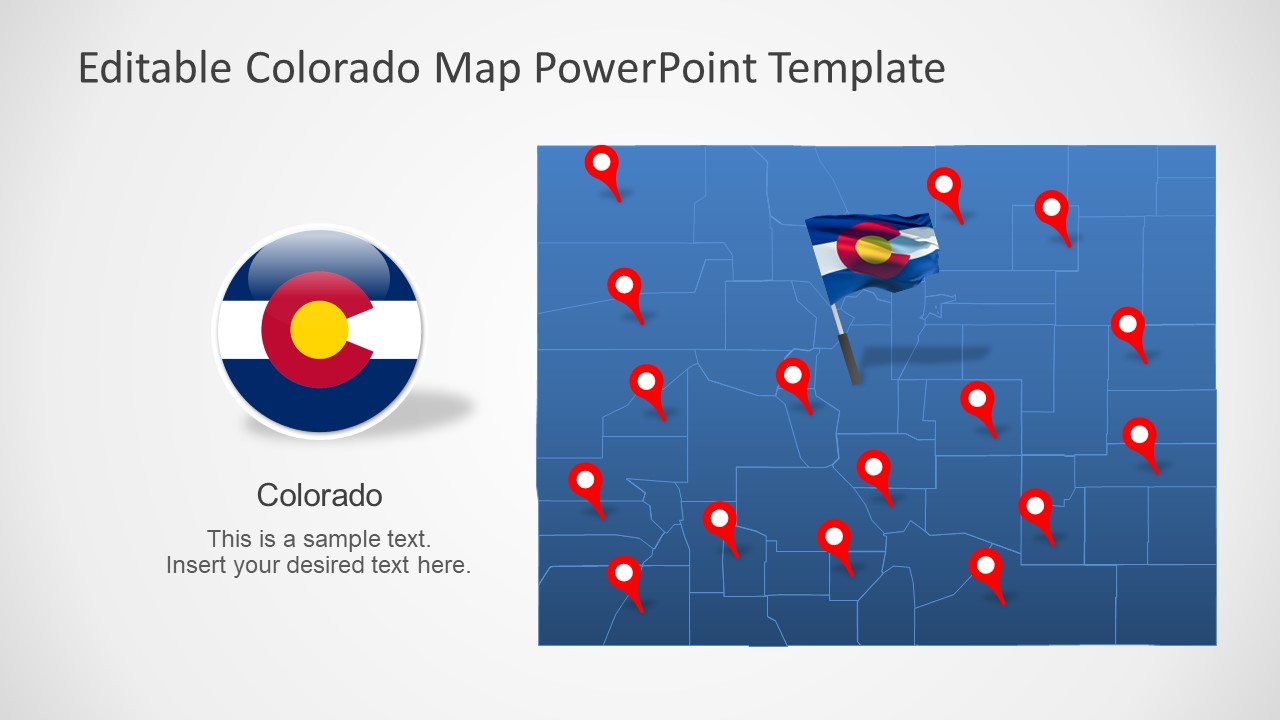
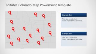
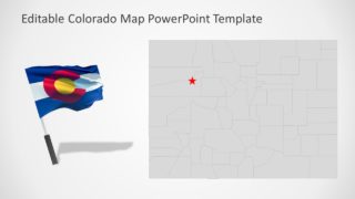
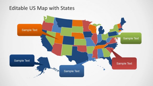
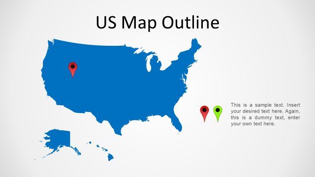
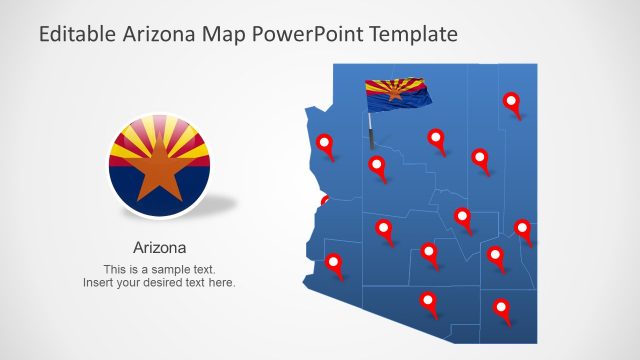
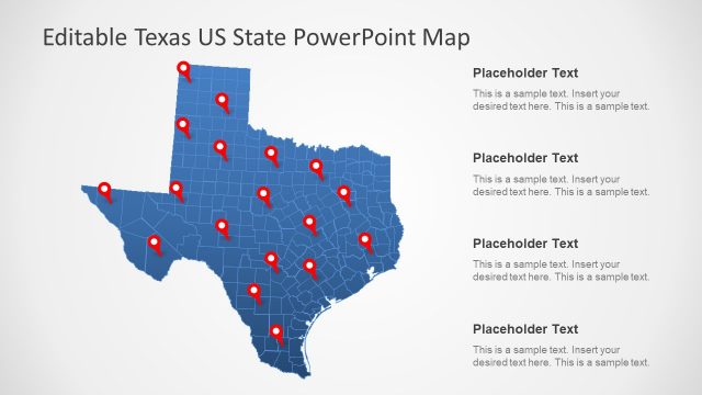
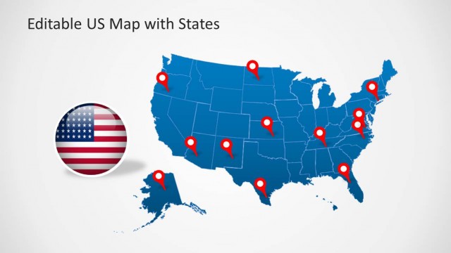
The Colorado US State PowerPoint Map is an editable presentation of American state. This template contains 7 slides with a range of map designs that users can choose for professional presentations. These map slides contain additional clipart icons such as location markers and flags to support geographic shapes. Further, these clipart shapes include high-quality flag designs like circular badge style and spinning flagpoles. This digital map of the USA state will come handy in during presentation targeting Colorado geographic region. For example, the demographics of Colorado, statistical surveys, business opportunities, tourism, and more.
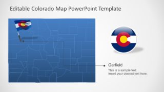
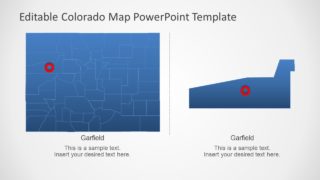
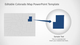
The PowerPoint map template of Colorado includes a collection of flat silhouette shapes join into State map. These PowerPoint shapes represent 64 counties of Colorado outlining territories in regional map. All 7 slides provide variation in map designs with the help of location pins, flags, and text placeholders. Moreover, the slides of zoom-in effect enable presenters to highlight any specific county. For instance, the map on 5th slides creates a zoom effect on Garfield by resizing county shape.
The Colorado US State PowerPoint Map is an editable set of slides with blue and gray color theme. However, users can change these color themes from Design menu. Or, change individual county shapes from solid fill option in Format menu. For example, use colors to demonstrate statistical analysis of region for social or marketing surveys. The Colorado map with county boarders is a flexible template to adapt customization according to company brand.
