Colombia Map Template for PowerPoint
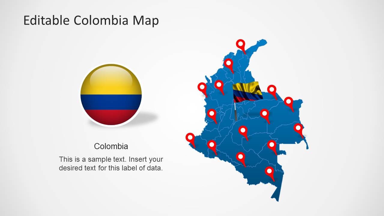
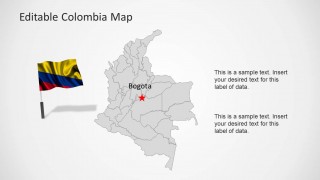
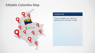
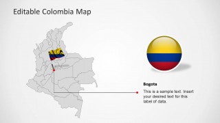
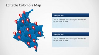
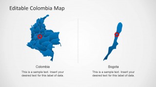
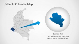
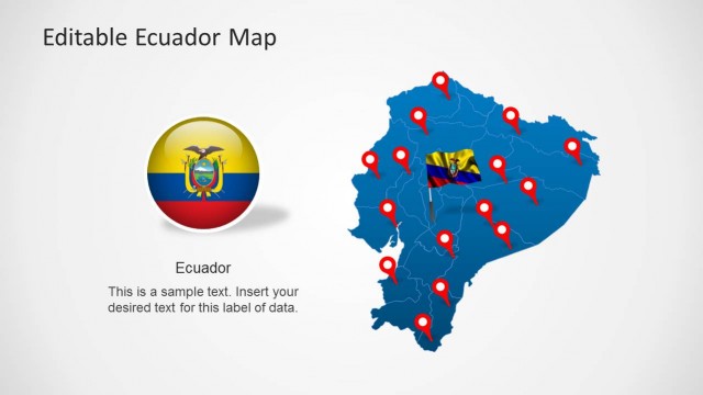
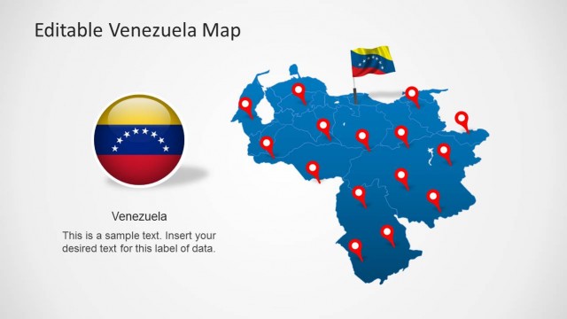
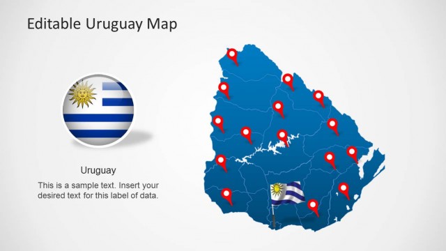
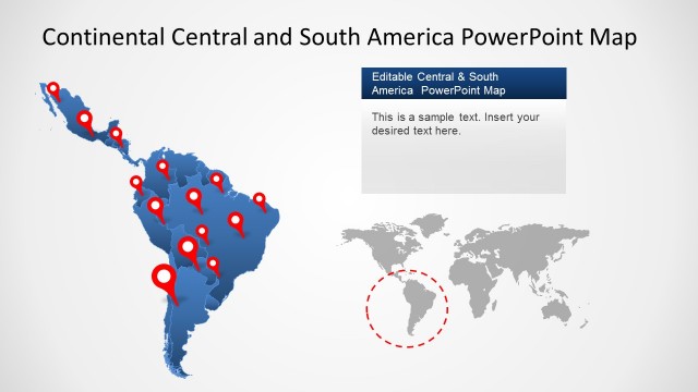
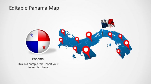
Colombia Map Template for PowerPoint is a presentation which contains outline and political maps of the Republic of Colombia. Each Colombia shapes is a composite of individual shapes representing each state, and that can be manipulated as PowerPoint objects. The presentation provides location icos and different icons with Colombia’s flag and national colors, enabling the homogeneous context during a speech. There are contextual slides providing highlight of a specific state and identified location of Colombia’s capital, Bogota.
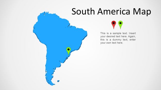
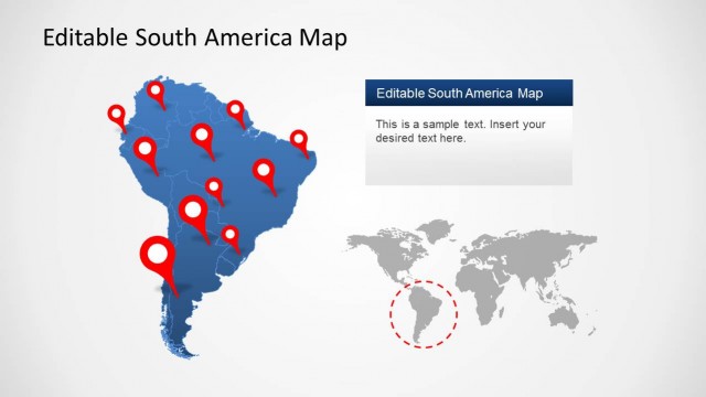
Colmbia is located in South America and borders with Panama, Venezuela, Ecuador and Peru
