British Virgin Islands PowerPoint Map
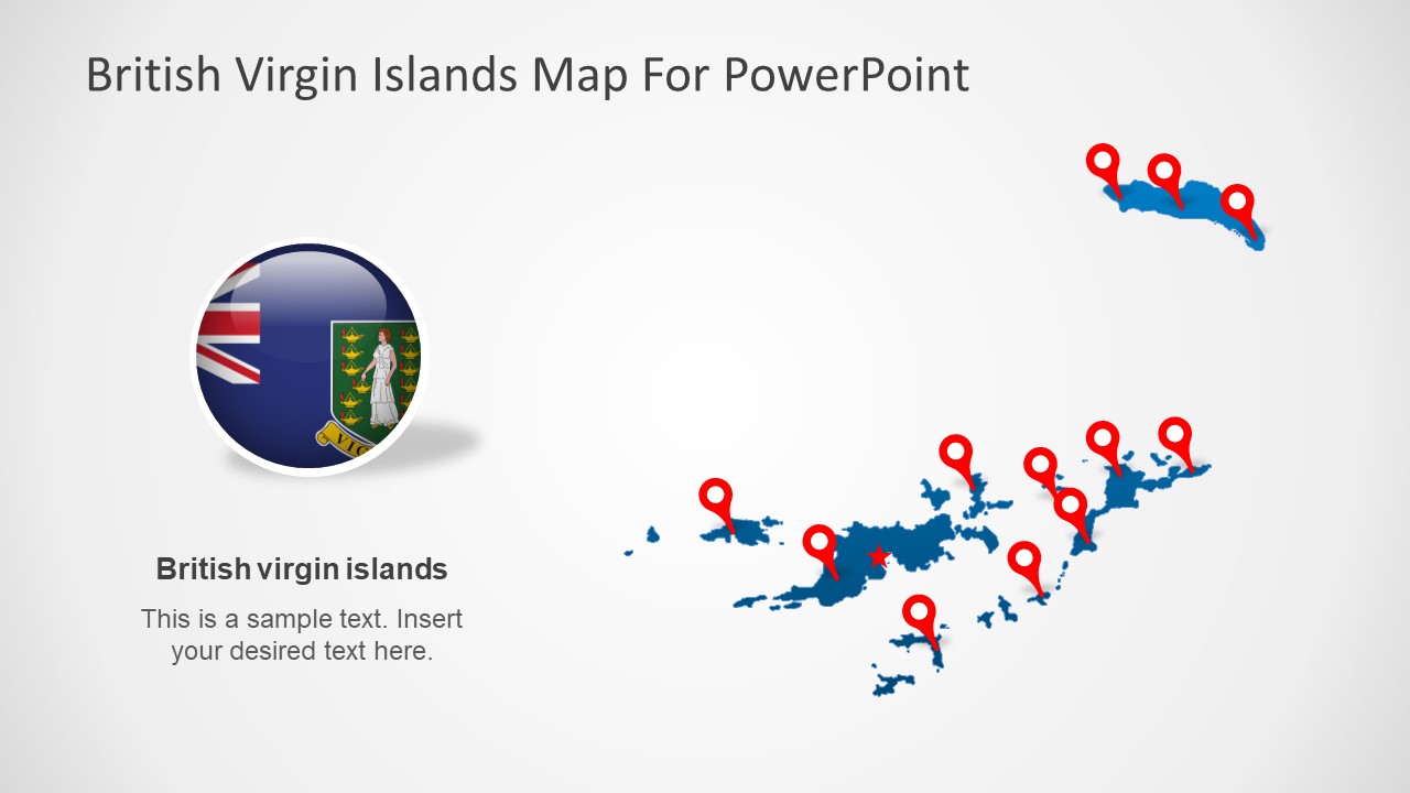
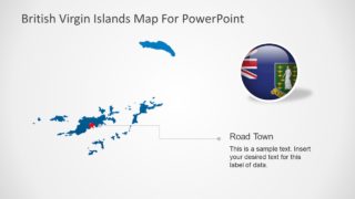
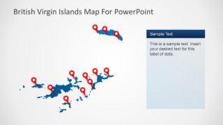
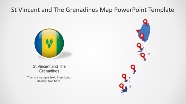
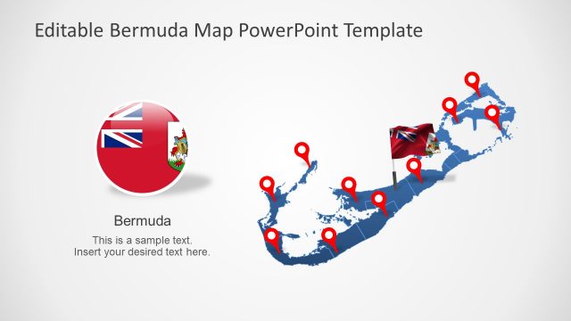
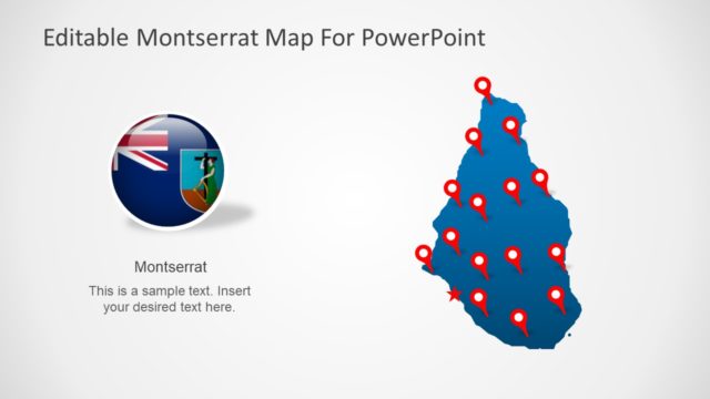
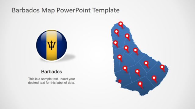
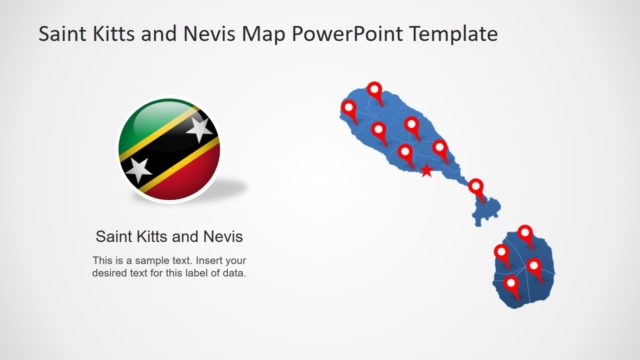
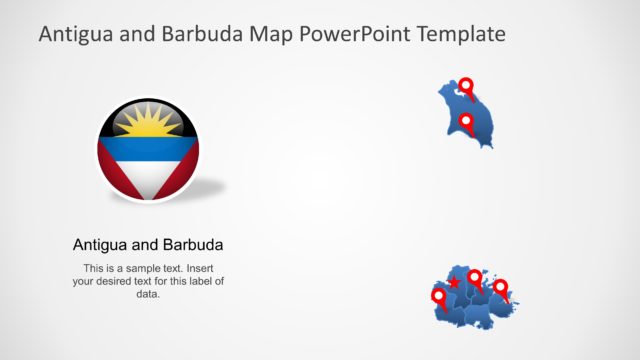
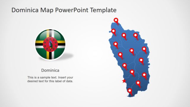
The British Virgin Islands PowerPoint Map is a 6 slides template of silhouette maps. These slides present a selection of islands called the British Virgin Islands. These islands are an overseas territory of Britain in eastern Caribbean Sea. The template contains a chain of islands that are collectively known as Virgin Islands. Further 6 slides of this PowerPoint map template contain shapes and graphics to support textual content. For example, the location pin marker and star shape to highlight different geographic regions. And a circular PowerPoint clipart of flag for international representation of region.
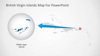
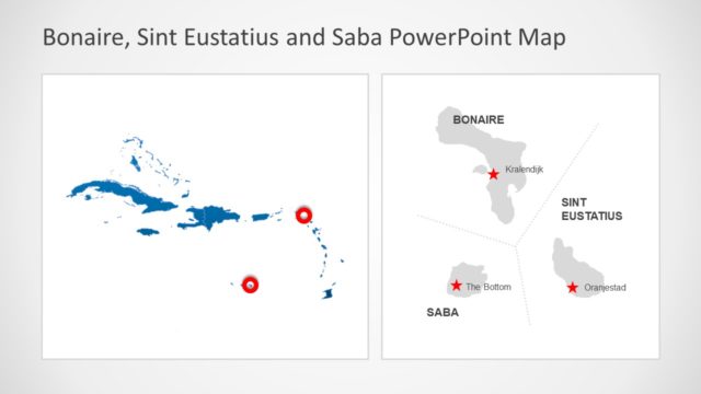
There are 4 large island regions known as Tortola, Anegada, Virgin Gorda, and Jost Van Dyke. The additional 32 islands and islets are high-resolution vector shapes in PowerPoint. Therefore users can increase size of these segments without affecting image quality. Furthermore, this British Virgin Islands PowerPoint Map template includes a slide with an editable map of Eastern Caribbean Sea.
This is an editable PowerPoint template of outlined island maps that could be used for a wide range of presentation concepts. For instance, silhouette map templates can help demonstrate administrative status, demographics, tourism and much more. Although this template provides blue and gray silhouette maps of British Virgin Islands. The users can change the colors from solid fill option in drawing format. Similarly, they can apply gradients and animations to enhance map visuals.
