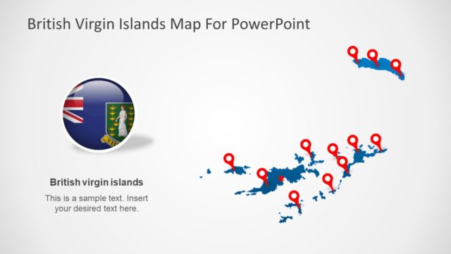
Slide 6 of 6 from British Virgin Islands PowerPoint Map
Map Zoom Caribbean Sea Presentation
British Virgin Islands Map for PowerPoint
- Map
- Country Map
- Context Slide
- 16:9
- 100% Editable
What’s on This Slide
The layout features a circular map of the British Virgin Islands on the left, with a label positioned below it. An arrow extends from this map towards a larger outline of the Caribbean region on the right, indicating the location of the islands. The background is a light gray, providing contrast to the blue map and arrow. The visual hierarchy emphasizes the map and the arrow, directing attention from the islands to their broader geographic context. Text placeholders are present for the title and the label, aligned centrally above and below the map, respectively.
How to Use It
This layout serves as a geographic reference, highlighting the British Virgin Islands within the Caribbean context. It fits well at the end of a presentation to summarize location-related content or introduce discussions about tourism, geography, or regional planning. In business contexts, it can be used to present market opportunities, logistics, or travel-related information. This slide effectively communicates spatial relationships and can be integrated into various presentations about the islands or the surrounding region.
Text Placeholders & Capacity
Keep your copy within these limits so it fits without resizing. Text slots are spacious, allowing for concise labels.
| Placeholder | Count | Max characters (approx.) |
|---|---|---|
| Slide title | 1 | 30 |
| Item heading | 1 | 30 |
Slide Keywords
Download unlimited PowerPoint templates, charts and graphics for your presentations with our annual plan.
DOWNLOADReturn to British Virgin Islands PowerPoint Map.