Slide 4 of 6 from British Virgin Islands PowerPoint Map
British Virgin Island Editable Map PPT
British Virgin Islands Map for PowerPoint
- Map
- Country Map
- Context Slide
- 16:9
- 100% Editable
What’s on This Slide
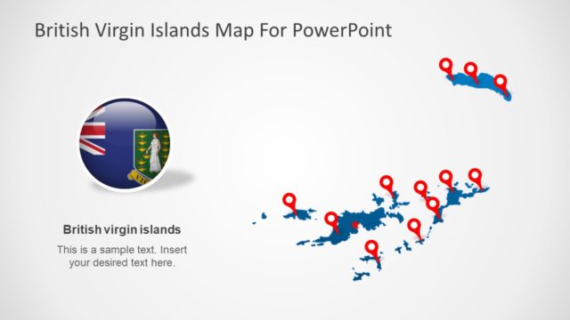
The layout features a map of the British Virgin Islands positioned centrally, with a red marker indicating Road Town. To the right, a circular icon displays the British Virgin Islands flag. Below the map, a text placeholder is aligned left, labeled 'Road Town,' followed by another placeholder for additional text. The background is light gray, enhancing the visibility of the map and icons. The overall composition balances the map and text, creating a clear visual hierarchy that directs attention to the location and its significance.
How to Use It
This layout serves as a geographical representation, ideal for presentations discussing the British Virgin Islands. It fits well in a sequence that includes location analysis or regional overviews. Use it to highlight specific areas of interest, such as tourism, business opportunities, or cultural landmarks. This slide is suitable for travel agencies, educational institutions, or businesses exploring the region, providing a clear visual context for discussions.
Text Placeholders & Capacity
Keep your copy within these limits so it fits without resizing. Body slots can hold about 15-20 words each.
| Placeholder | Count | Max characters (approx.) |
|---|---|---|
| Item heading | 1 | 20 |
| Item body | 1 | 100 |
| Slide title | 1 | 40 |
Slide Keywords
Download unlimited PowerPoint templates, charts and graphics for your presentations with our annual plan.
DOWNLOADReturn to British Virgin Islands PowerPoint Map.