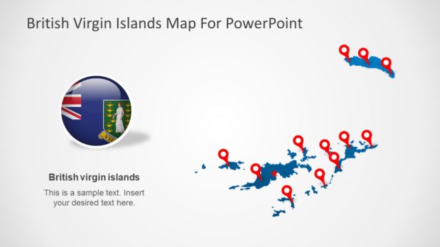
Slide 2 of 6 from British Virgin Islands PowerPoint Map
Silhouette Map Template British Virgin Island
British Virgin Islands Map for PowerPoint
- Map
- Country Map
- Context Slide
- 16:9
- 100% Editable
What’s on This Slide
The slide features a map of the British Virgin Islands prominently displayed in the center. A zoomed-in inset map highlights Road Town, marked with a red star. The main map shows the surrounding islands in blue against a light background. There is a smaller world map in the bottom left corner, indicating the location of the British Virgin Islands with a red circle. Text placeholders are positioned at the top and near the inset map, aligned to the left and right respectively. The overall layout emphasizes geographic context and location.
How to Use It
This layout serves as a geographic overview, ideal for presentations discussing the British Virgin Islands' location and significance. It fits well after introductory slides, providing context before diving into specific topics. This slide is suitable for tourism, business, or educational presentations where geographical awareness is crucial. It can be used to illustrate points about travel, investment opportunities, or cultural discussions related to the islands.
Text Placeholders & Capacity
Keep your copy within these limits so it fits without resizing. Body slots are tight, roughly 10-15 words each.
| Placeholder | Count | Max characters (approx.) |
|---|---|---|
| Slide title | 1 | 30 |
| Body paragraph | 1 | 50 |
| Item heading | 1 | 20 |
| Item body | 1 | 50 |
Slide Keywords
Download unlimited PowerPoint templates, charts and graphics for your presentations with our annual plan.
DOWNLOADReturn to British Virgin Islands PowerPoint Map.