Slide 3 of 6 from British Virgin Islands PowerPoint Map
PowerPoint Map British Virgin Island Slide
British Virgin Islands Map for PowerPoint
- Map
- Country Map
- Context Slide
- 16:9
- 100% Editable
What’s on This Slide
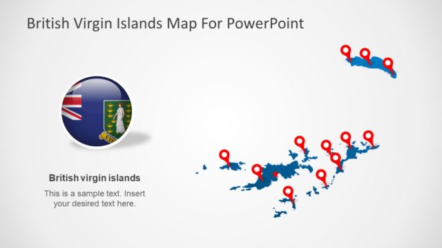
The layout features a map of the British Virgin Islands on the right, with a red star marking a specific location. To the left, there is an image of the British Virgin Islands flag, which is contained within a rectangular shape. The title is positioned at the top center of the slide, clearly stating 'British Virgin Islands Map For PowerPoint.' The overall background is light, enhancing the visibility of the map and flag. Text placeholders are present but not filled, suggesting space for additional information.
How to Use It
This layout serves as a geographical representation of the British Virgin Islands, suitable for presentations discussing tourism, geography, or regional analysis. It can be effectively used in a sequence that introduces the islands, followed by details on specific locations or attractions. This slide is ideal for business meetings, educational purposes, or travel-related discussions, providing a visual context for the audience.
Text Placeholders & Capacity
Keep your copy within these limits so it fits without resizing. Title slot can hold about 8 words; node label is tighter.
| Placeholder | Count | Max characters (approx.) |
|---|---|---|
| Slide title | 1 | 40 |
| Item heading | 1 | 30 |
Slide Keywords
Download unlimited PowerPoint templates, charts and graphics for your presentations with our annual plan.
DOWNLOADReturn to British Virgin Islands PowerPoint Map.