Vermont US State PowerPoint Map
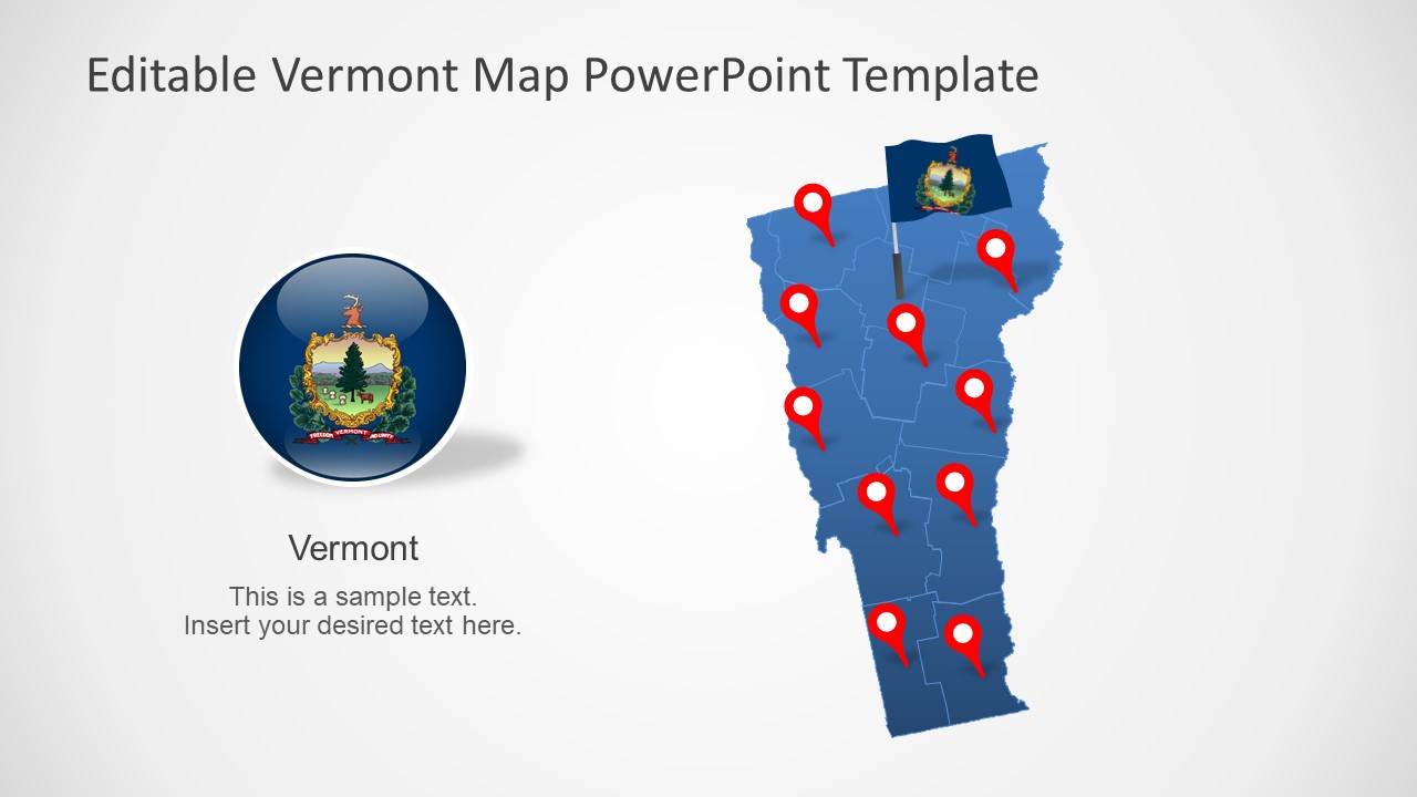
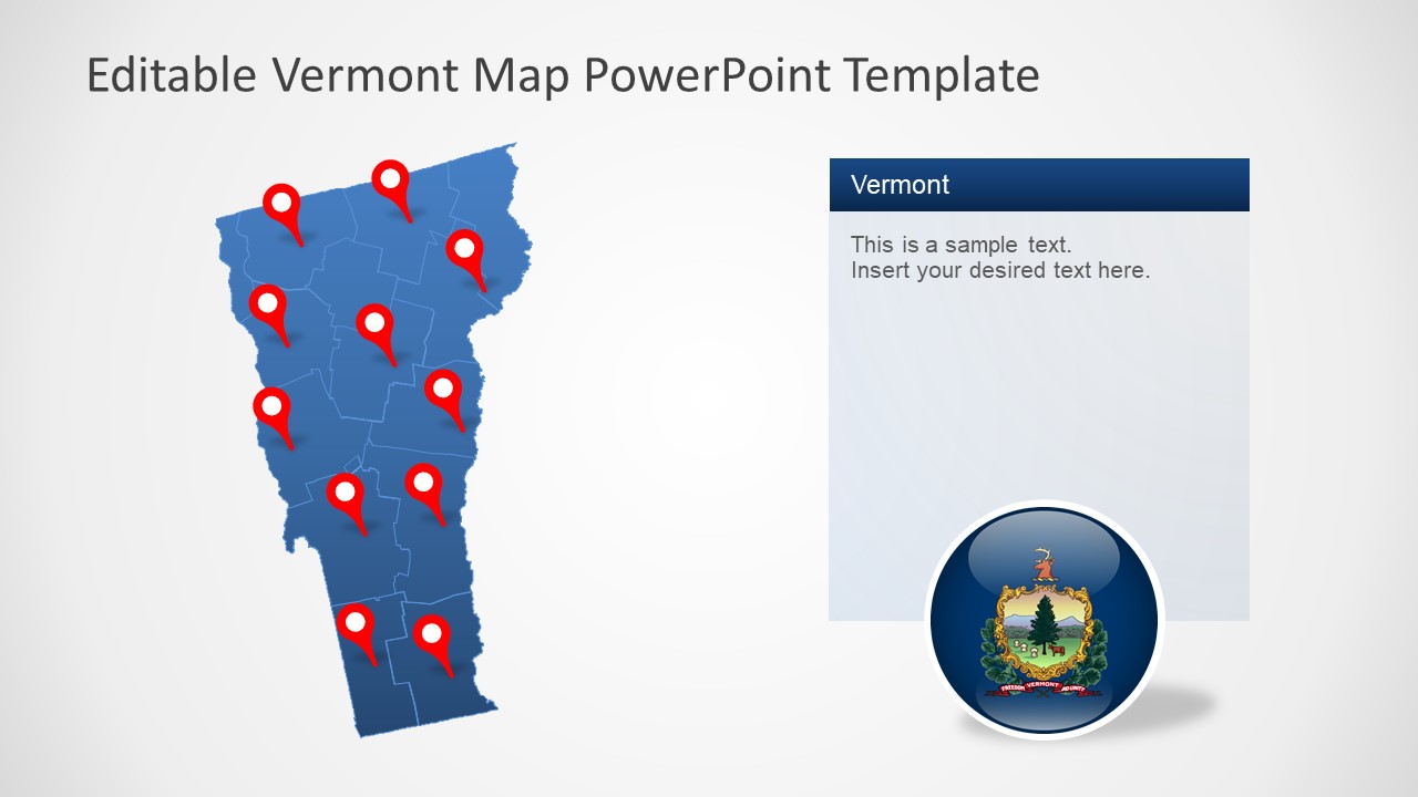
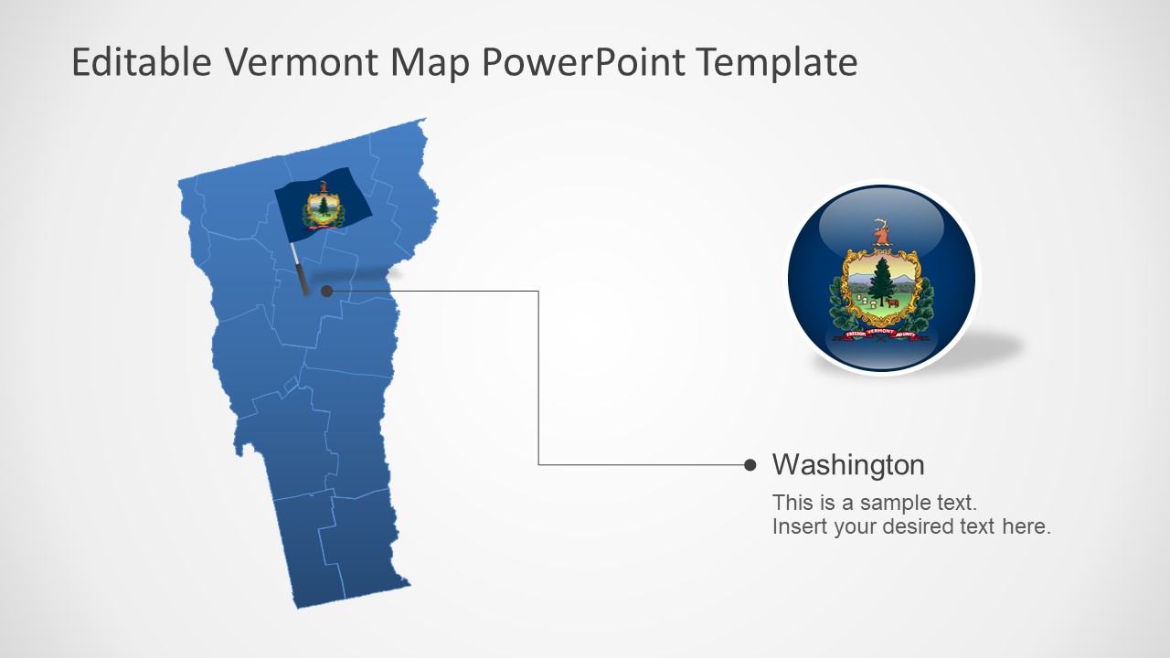
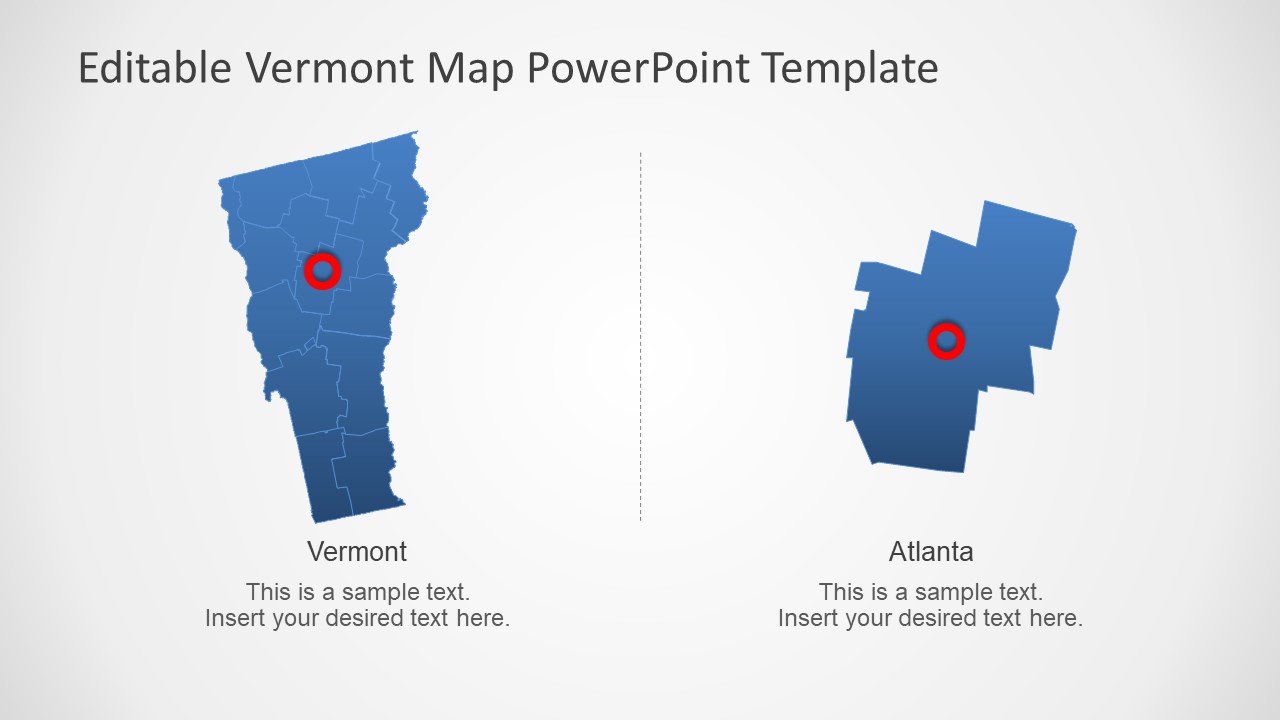
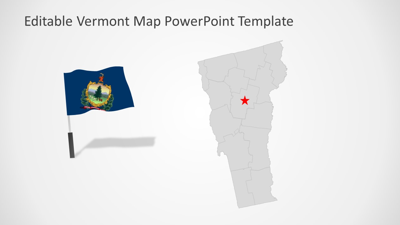
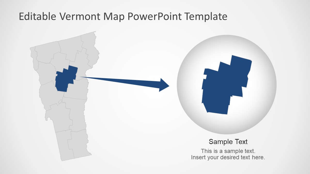
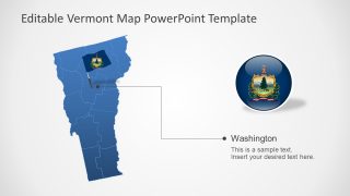
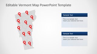
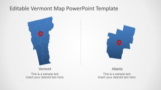
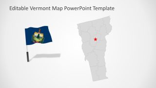
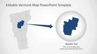
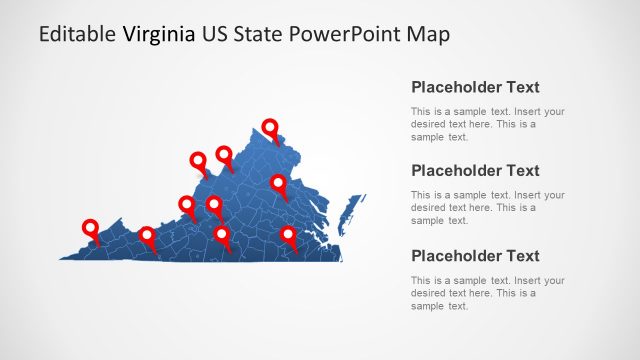
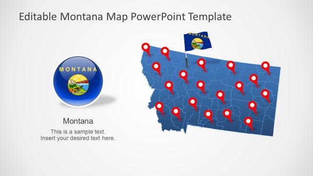
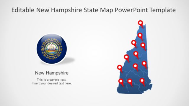
The Vermont US State PowerPoint Map presents editable map templates. Vermont is one of 50 states of the United States of America. The SlideModel templates for the Vermont map are silhouette PowerPoint shapes containing individual counties. There are seven slide layouts containing maps and supporting contents. Such as text placeholders, location markers, and flag clipart icons. These PowerPoint map templates also highlight counties and cities using labels and zoom-effects. Such as a zoom-in map of Washington County and a location marker on Atlanta city.
Vermont is one of 6 states in the New England region of the USA. It is an eastern state of the USA that borders Canada’s province Quebec. The Connecticut River and Lake Champlain separate Vermont from New Hemisphere and New York. Vermont is home to maple syrup and also famous for dairy farms.
The editable map templates for the State of Vermont provide seven versions of the map. These digital map templates also include text placeholders to add useful information about regional concepts. Although this PowerPoint template contains blue and gray silhouette outline maps of Vermont. The users can change colors of the entire state map or its counties from color options in the formatting menu.
The Vermont US State PowerPoint Map lets users present geographical concepts using customizable maps. For instance, display locations, market areas, and geographic importance of Vermont for business. You can add graphs or statistical data presentation of demographics. Similarly, these maps could be used for educational and entertainment purposes.
