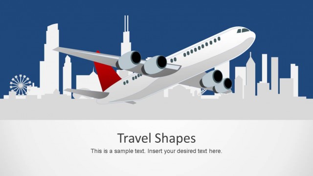
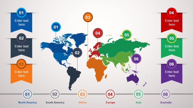
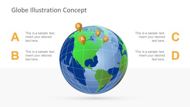
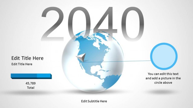
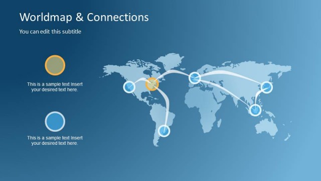
Create a presentation design for international reports with the Travel Destination PowerPoint Template. The template can be used by travel agencies and enthusiasts to plan and present a global trip through PowerPoint. It contains a worldmap illustration over a blue background design with placeholders to describe your travel itinerary or flight information.
Travel plans are valuable to almost every successful company. These plans can be for establishing relationships with suppliers or clients. Traveling can relate to employee expenses for seminars and workshops to which the company sends them. Overall, travel usually results in an increased rate of growth and development within the company, whether it is in their financial resources – as in sponsorships and investments – or in their intangible assets relating to intellectual growth.
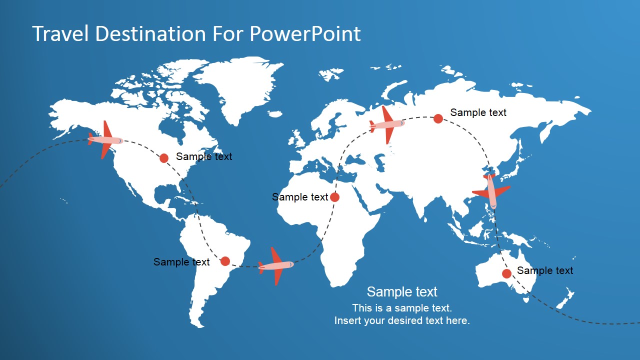
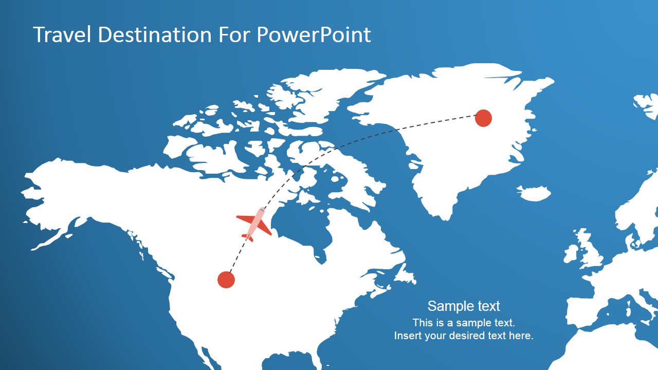
The slides are useful in demonstrating the flight plan of a certain overseas trip. The presenter can use an entire world map illustration, to show an international trip with certain continental stops. He can choose to highlight specific regions, such as the United States only, to demonstrate a trip within a country.
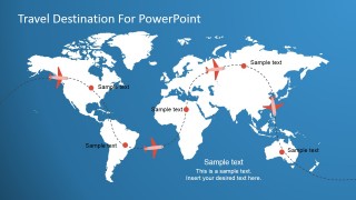
The world map diagram has white land areas, complementing the dark background. Red dots can be found on a particular region, to indicate a stop. Dashed lines indicate the flight plan, while a miniature vector drawing of a plane indicate the current position of the flight.
This continents Template can also be edited to create global markets analysis. Ideal for marketing plans spanning international branches or a flight plan for a cross-continental business trip, the Travel Destination PowerPoint Template has useful icons and graphics that can provide an accurate demonstration for the audience. The presenter can edit the position or arrangement of the PowerPoint icons and graphics depending on his need or preference. Any modification will not affect the image resolution of the design. Alternatively, check our complete collection of travel PowerPoint templates.
What’s inside this template
Example presentation scenarios
- A travel agency can use the global world map to show a client the main international stops and planned flight direction before discussing itinerary details.
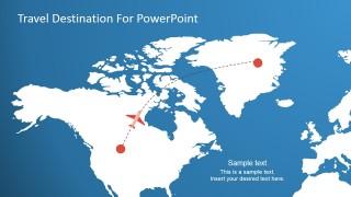
- A corporate travel coordinator can use the regional Atlantic map to brief executives on a cross-border business trip and point out departure, connection, or destination locations.
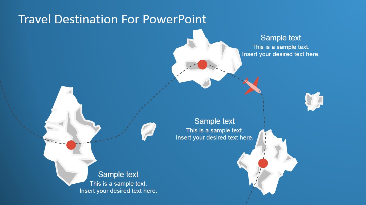
- A tourism presenter can use the island destination map to introduce resort areas, excursion points, or grouped attractions with short text callouts.
- A business development team can adapt the map markers to show target markets, branch visits, or supplier meetings during an international expansion update.
Features
- 100% editable presentation template
- Compatible with Microsoft PowerPoint and Google Slides
- 16:9 aspect ratio slides
- Scalable vector shapes, icons and illustrations
- AI-Ready for Microsoft Copilot and Claude
- Instant access and download
Frequently asked questions
Q: How should a presenter use these slides to explain an itinerary clearly?
A: Start with the global map to establish the full travel scope, then move to the regional map to explain the most important segment. Use the island destination slide only after the audience understands the route, so the final callouts can focus on local activities, meetings, or destination details.
Q: Who is this template best suited for in a business presentation?
A: It fits presenters who need to explain where travel happens rather than present a full trip operations file. Travel agencies, corporate travel coordinators, executive assistants, and international business teams can use the world map, regional map, and stop markers to make a route understandable in a short meeting.
Q: Why do the dotted flight paths and red destination markers help communication?
A: The design uses a familiar travel metaphor: the dotted line shows movement, the airplane shows direction, and the red dots identify decision points. This reduces the need for long route explanations because the audience can read origin, movement, and destination visually before listening to the presenter.
Travel Destination PowerPoint Template
3-slide travel destination presentation template with world map, flight paths, and itinerary markers
Travel Destination PowerPoint Template is a 3-slide map presentation template for explaining trip routes, destination stops, and regional travel context. It includes a global world map with dashed flight paths, a regional Atlantic map, and an island destination map with airplane icons and text callouts for Microsoft PowerPoint and Google Slides.
- Category
- Maps
- Rating


 Loading...
- Aspect ratio
- 16:9, 4:3
- Item ID
- 7088-01
- Colors
 Microsoft PowerPoint
  Microsoft Copilot
  Claude for PowerPoint
 Other formats supported
Subscribe today and get immediate
access to download our PowerPoint templates.