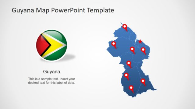
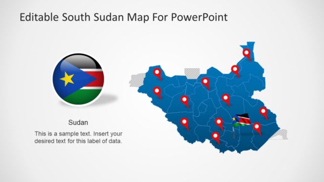
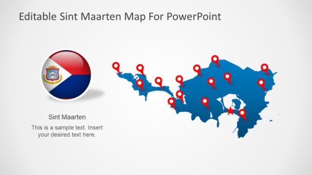
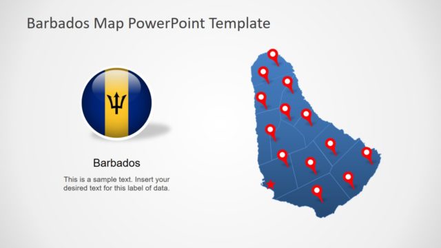
Editable Suriname Map for PowerPoint
The Editable Suriname Map for PowerPoint is a demographic presentation for one of South American country. The Suriname is the most divers country based on ethnicity, culture, religion and racial background. This PowerPoint map of Suriname is an absolute help for the presenters for variety of topics. Such as, tourism, political and literacy statistical reports, target customer for product or service and more. Therefore, the template is usable by various industries like business, marketing, political interests, non-profit organizations. For example, a fast food chain wants to open a franchise in the city which will attract most customers. The map PowerPoint can help present demographics of population. Also, the users can highlight the areas for most desirable store locations using pin pointers.
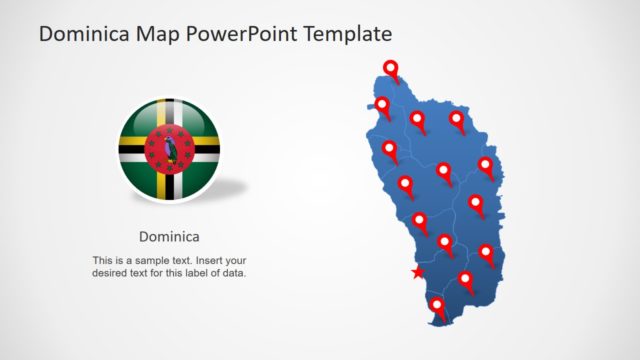
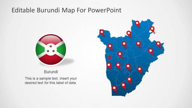
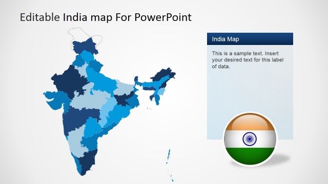
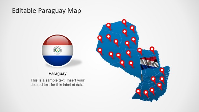
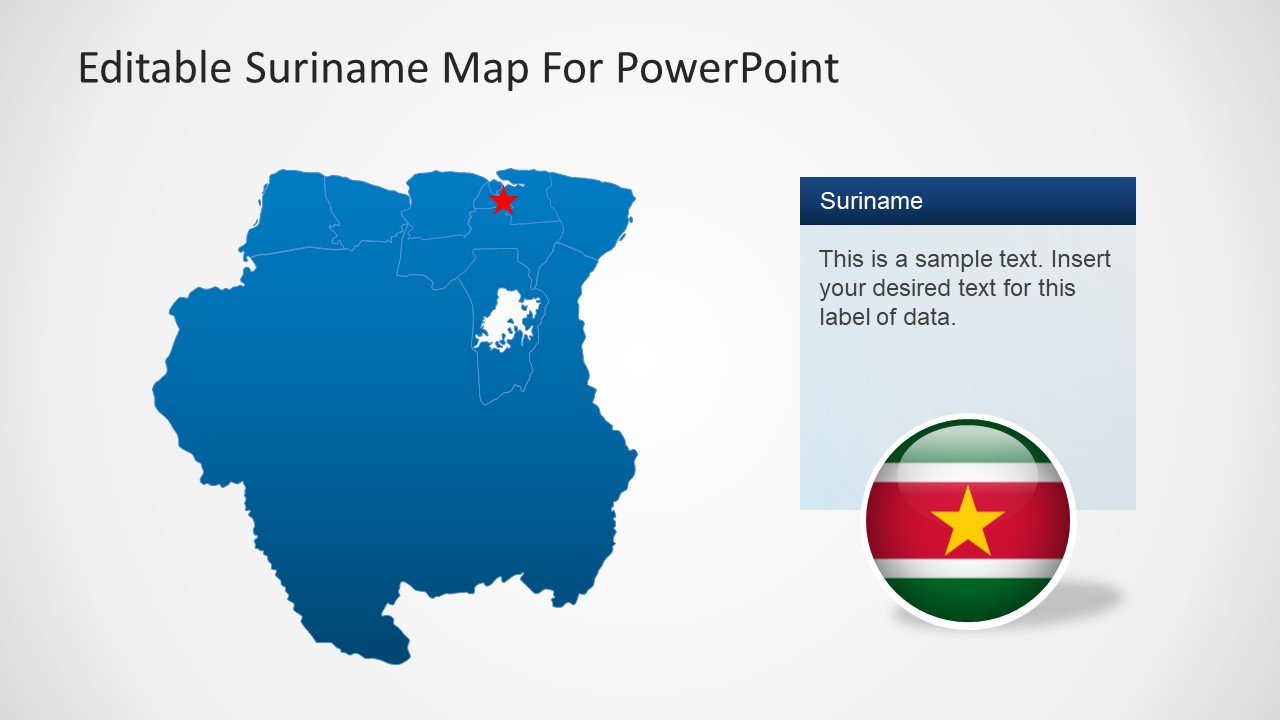
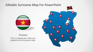
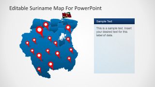
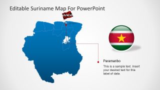
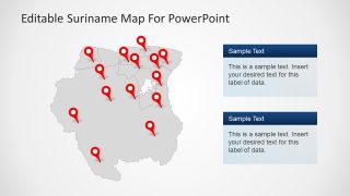
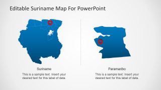
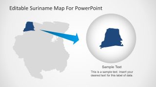
The Editable Suriname Map for PowerPoint is a deck of 7 geographical design variations. Each template has a different format of presenting maps of Suriname. There are two color formats i.e. blue and grey and the slides of figure with and without regional boarders. Paramaribo, the capital city of Suriname highlight in several slides by flag icon and zoom-in image with circular icon to focus. Further, the template also contains placeholders to add information relevant to topic in discussion. Additional, there are icons for location pointers, pole and circular flags. The last two slides display the idea of using editable map clipart to enlarge single region of the country.
The PowerPoint map of Suriname consist of set of editable shapes in the form of country’s ten administrative districts. These are the high-resolution images which can easily mold to any size without effecting the quality of figure. Moreover, the users can change the colors of each district in the map template to highlight them individually. Similarly, move, add or delete the location pins to mark multiple geographical areas. Lastly, use the desire slides or maps in other presentations by copying them for a lasting impact on audience.


You must be logged in to download this file.
DOWNLOAD- Category
- Maps
- Rating

 Loading...
- Size
- 16x9
- Item ID
- 6707-01
- Colors
Subscribe today and get immediate
access to download our PowerPoint templates.