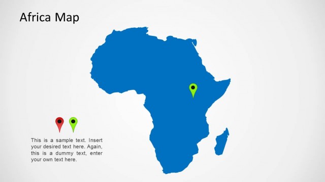
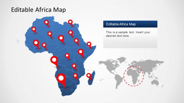
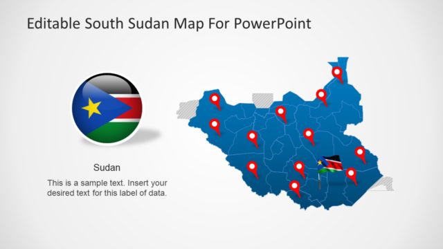
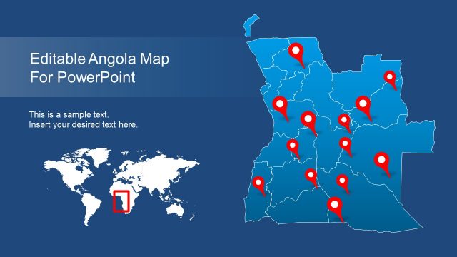
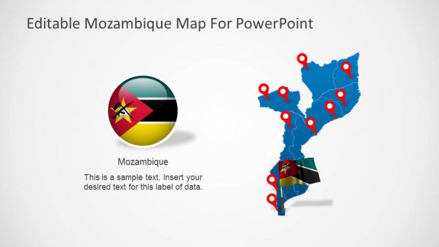
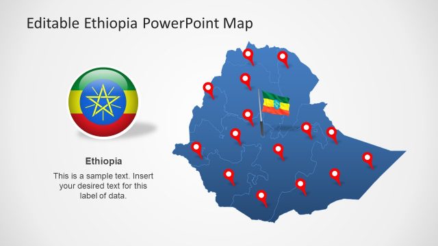
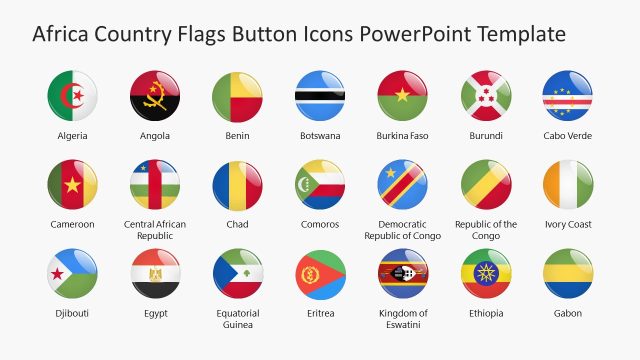
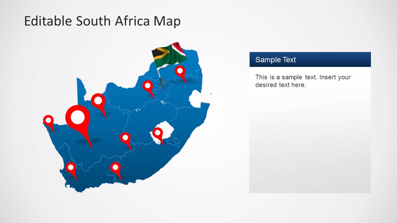
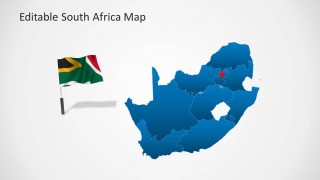
South Africa Map Template for PowerPoint provides a complete map of the beautiful African country with useful clipart images like the flag of the Republic of South Africa and GPS markers.
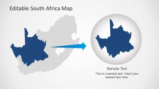
The template provides all provinces of South Africa in editable format, which can be edited and dragged out from the main map. The template features Eastern Cape, Free State, Gauteng, KwaZulu-Natal, Limpopo, Mpumalanga, North West, Northern Cape and Western Cape.
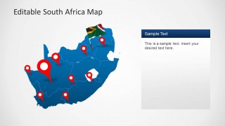
You can also point out specific areas on the given maps, including Johannesburg, Durban, Cape Town, Pretoria and other areas, with the help of GPS markers.
What’s inside this template
Example presentation scenarios
- A market analyst can use the province outline map and location pins to explain where customers, stores, or sales territories are concentrated across South Africa.
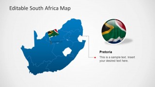
- A government or NGO presenter can use the Pretoria callout and national map slides to frame a policy program, field office, or administrative area for stakeholders.
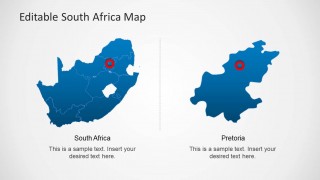
- A logistics planner can use the two-map comparison and zoom highlight layout to show a route, depot, service region, or priority province during an operations briefing.
- An educator can use the flag, province boundary maps, and labeled text areas to introduce South Africa's geography in a classroom or training presentation.
Features
- 100% editable presentation template
- Compatible with Microsoft PowerPoint and Google Slides
- 16:9 aspect ratio slides
- Scalable vector shapes, icons and illustrations
- AI-Ready for Microsoft Copilot and Claude
- Instant access and download
Frequently asked questions
Q: How should a presenter structure a clear message with this South Africa map template?
A: Start with the full South Africa map to orient the audience, then move to the slide with location pins for geographic spread. Use the Pretoria callout only when the capital or a specific city needs emphasis. End with the zoom highlight or two-map comparison when the audience must remember one priority region.
Q: Who is this template best suited for?
A: This template is best for presenters who need to explain activity inside South Africa rather than show abstract strategy. Market teams, consultants, educators, NGOs, and public-sector presenters can use the province map, GPS markers, and flag visuals to connect a business, policy, education, or travel message to place.
Q: Why do the map markers and zoom layouts make the geography easier to understand?
A: The red markers create quick visual anchors on the blue or gray map, so the audience can scan locations before reading details. The zoom slide works as a magnifying metaphor, moving from the national outline to a selected region and helping presenters isolate one area without losing country context.





South Africa Map Template for PowerPoint
8-slide presentation template with South Africa maps, province outlines, flag icons, and location markers
South Africa Map Template for PowerPoint is an 8-slide map presentation template for showing locations, provinces, and capital-city context in South Africa. Visible layouts include a locator pin map, province outline map, Pretoria callout, two-map comparison, and zoom highlight. It is built for Microsoft PowerPoint and Google Slides.
- Category
- Maps
- Rating


 Loading...
- Aspect ratio
- 16:9
- Item ID
- 6333-01
- Colors
 Microsoft PowerPoint
  Microsoft Copilot
  Claude for PowerPoint
 Other formats supported
Subscribe today and get immediate
access to download our PowerPoint templates.