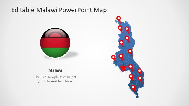
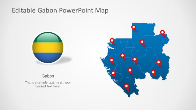
Niger PowerPoint Map
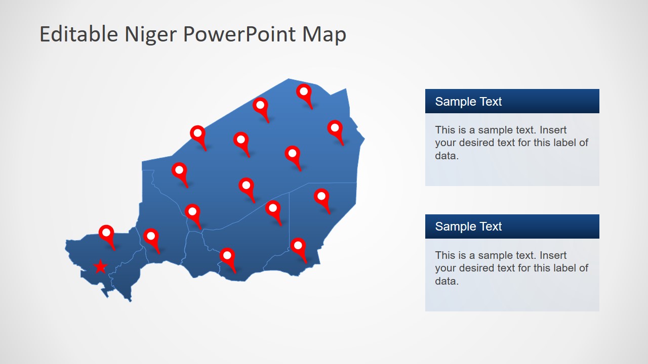
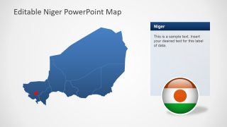
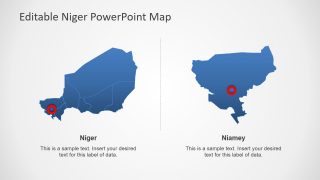
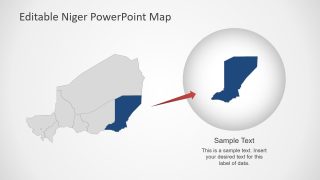
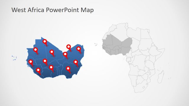
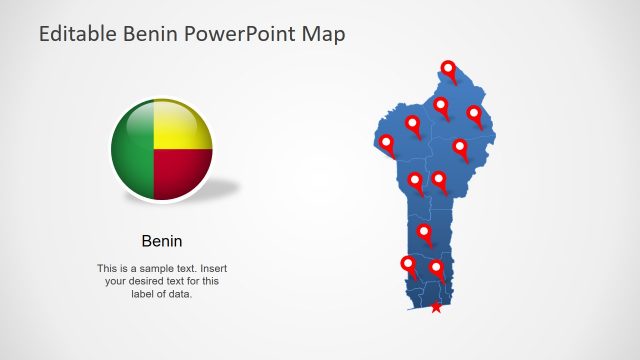
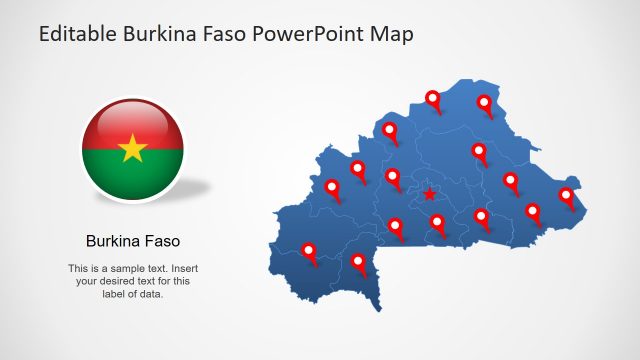
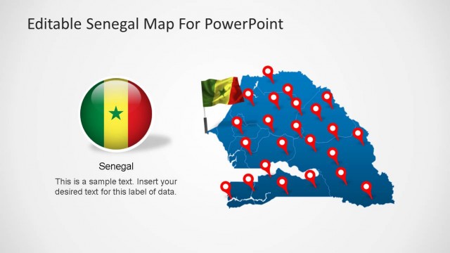
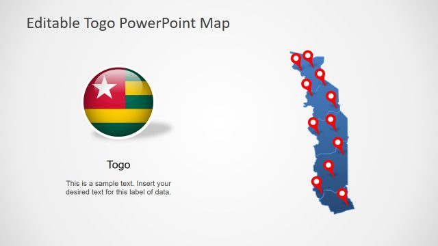
The Niger PowerPoint Map presents a professional collection of 8 slides to present regional concepts of country. Niger is one of West African country, landlocked between 7 African countries. It is divided into 7 regions i.e. Agadez, Diffa, Dosso, Niamey, Zinder, Maradi, and Tahoua. The PowerPoint template of map is multi-purpose slide deck to demonstrate demographics, tourism, international forum representation and more. This template contains individual PowerPoint shapes representing each regional division of Niger. These shapes are silhouette formats, join to create a complete geographic map of Niger.
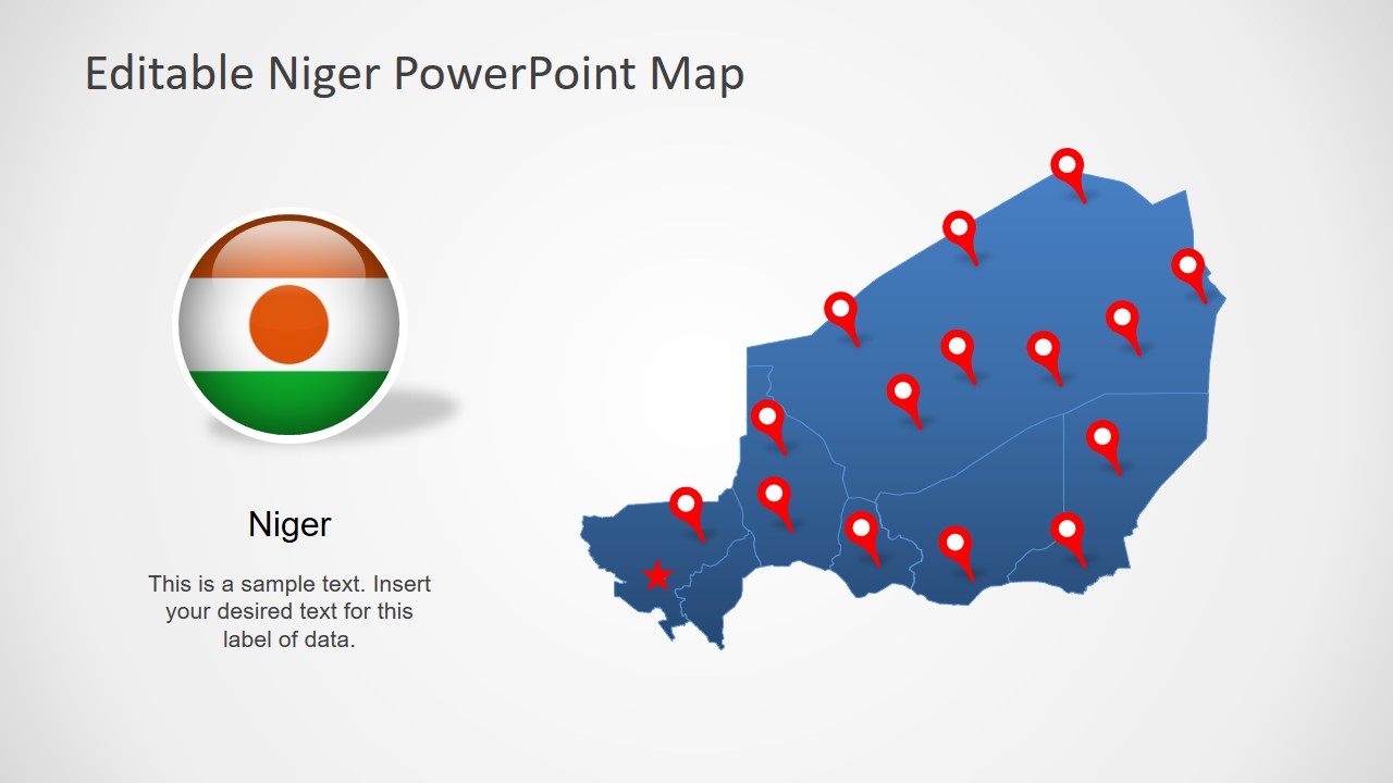
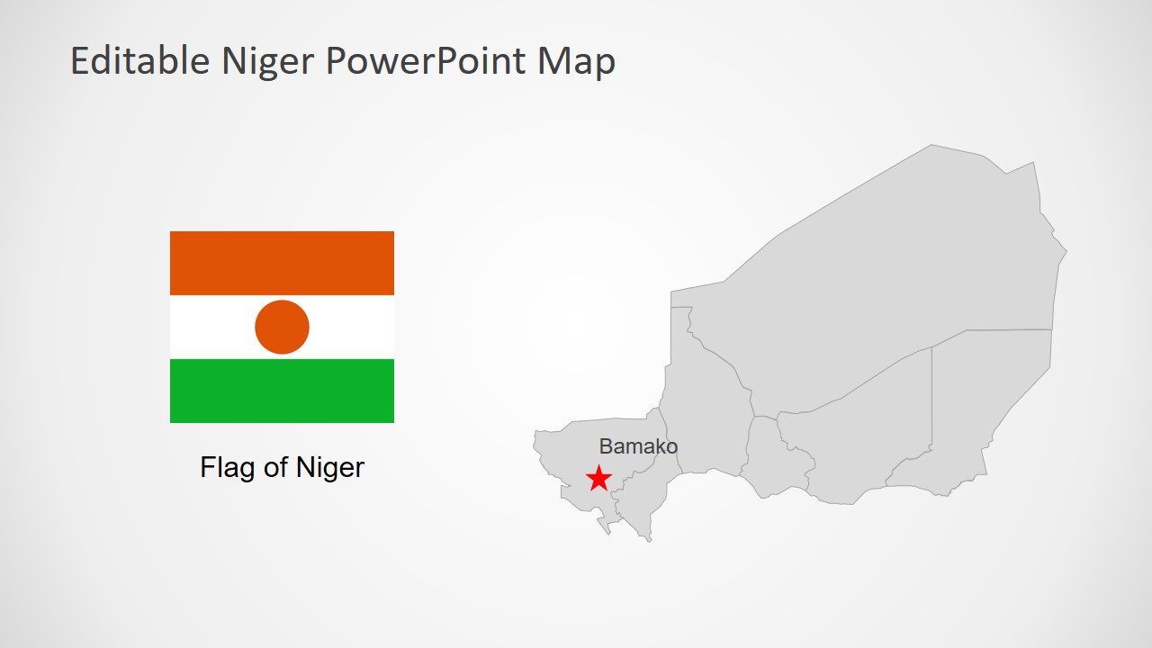
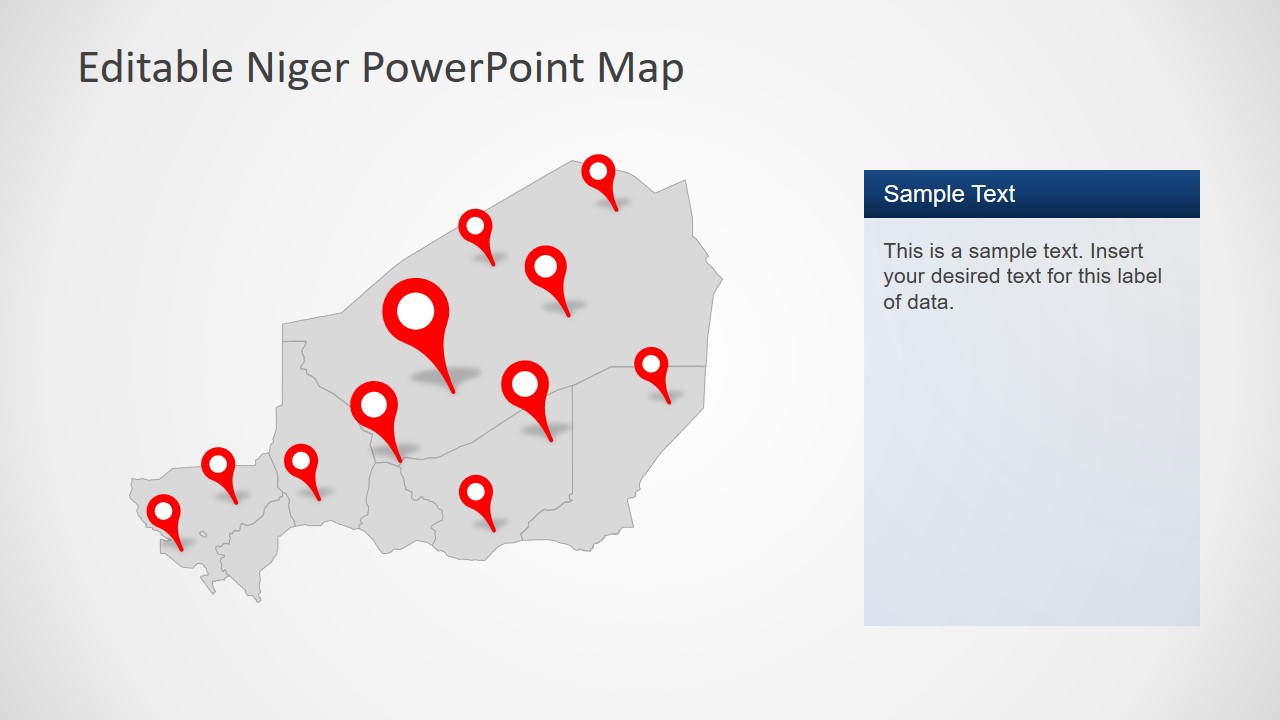
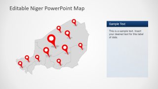
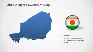
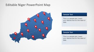
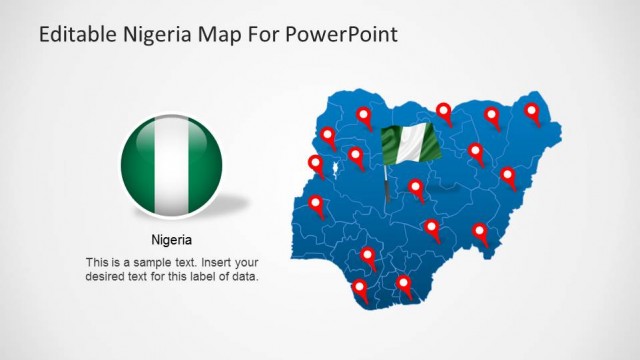
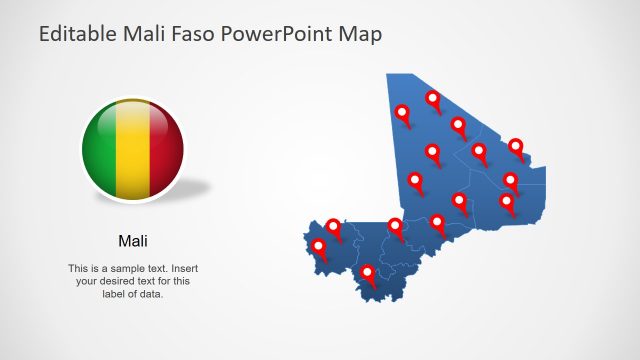
The slide of Niger map template include few clipart icons to assist with a custom design of presentation. These clipart icons include location pin markers, flags, and creative text placeholders. The users can drag-drop, resize, and recolor these icons to adjust map layout according to original presentation. Users can simply copy a desired slide and editable shapes to complement a professional slideshow. Therefore, the users from business analysts and marketing to tourist can appreciate this Niger PowerPoint map.
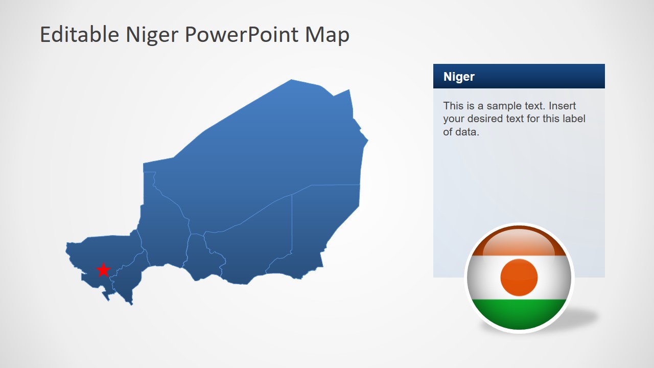
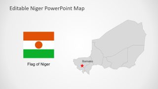
The Niger PowerPoint Map initially present blue and gray silhouette map but users can change colors of each segment. For example, create a demographic presentation using colors as statistical percentage. To do so, select a segment and change its color from solid fill-in drawing format menu. This feature will help the audience to distinguish between each segment instantly.
