Maryland State PowerPoint Map
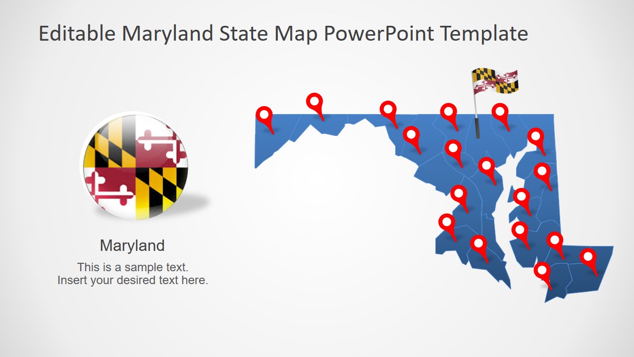
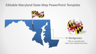
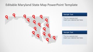
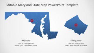
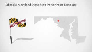
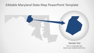
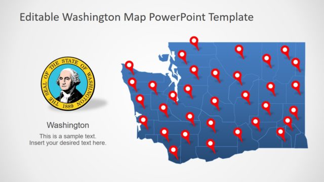
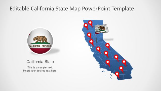
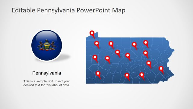
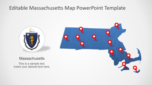
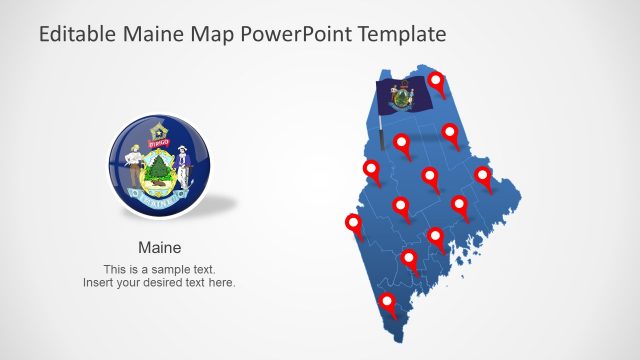
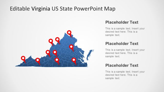
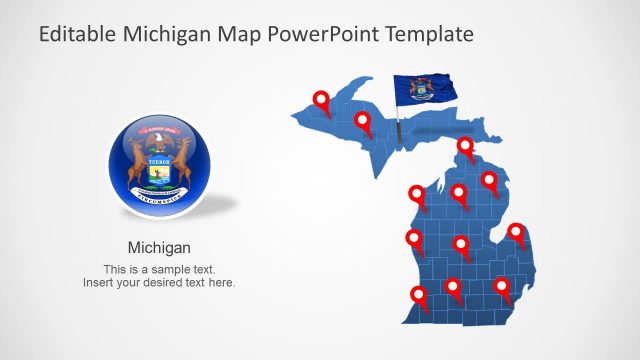
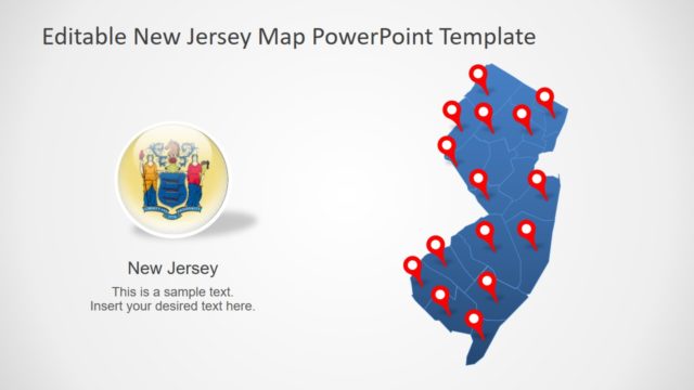
The Maryland State PowerPoint Map is a digital presentation for one of 50 states in America. The Maryland State map template contains 7 slides of blue and gray silhouette maps. Each map is comprised of individual county segments join to create a geographic map of Maryland. It is a flat template of maps with customization features in PowerPoint. For example, changing shape and background colors. All 7 slides include multiple clipart icons such as location markers, flags, and text placeholders. The users can demonstrate State, County, capital cities, etc. in Maryland State PowerPoint. Because there are labeling options available in this slide collection. Such as zoom-in layout design to provide an enlarge version of Montgomery county.
The Maryland State PowerPoint Map is an ideal presentation tool for highlighting target market or business surveys. This could easily be done by changing colors of each county according to statistics. The customizations such as recolor or resize could be done without loss of quality. Moreover, add useful textual content like presentation keynotes in available text placeholders. The first three slides show a blue silhouette map of Maryland showing two flag styles i.e. flag on pole and circular icon. Whereas, the slides of gray outline map use ring and star shape as location pins.
The State of Maryland map template is a useful addition to SlideModel collection of USA maps. Because these templates together can help create an outstanding presentation for States of America outlining territories.
