Delaware US State PowerPoint Map
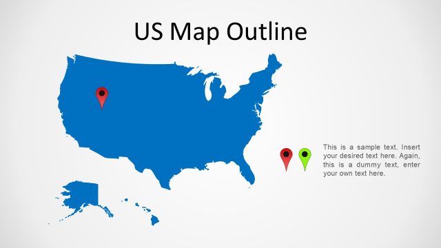
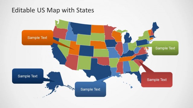
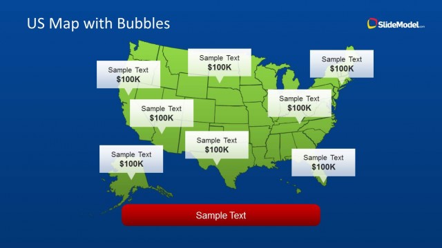
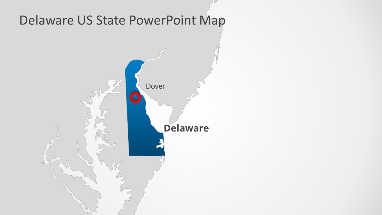
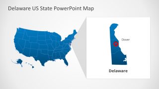
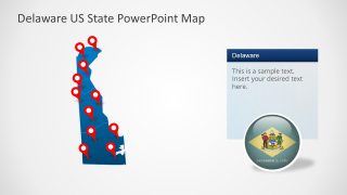
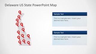
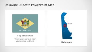
The Delaware US State PowerPoint Map presents an editable silhouette map. It is an outline map template displaying state borders and counties of Delaware US State, also known as The First State in US. There are 7 slides available, providing various versions of Delaware map designs. For example, Delaware is a part of the United States in the first and second slide. Meanwhile, the subsequent five slides show the US state maps with location markers and flag representation. These flags and location markers are vector-based shapes that help create convincing geographic presentations.
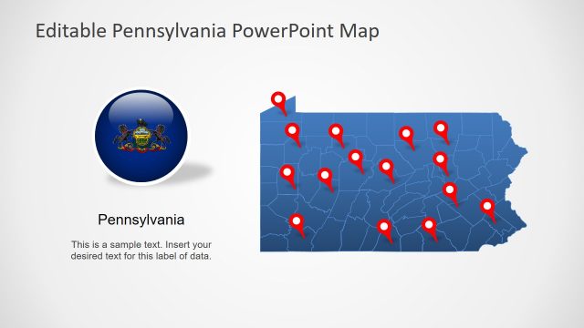
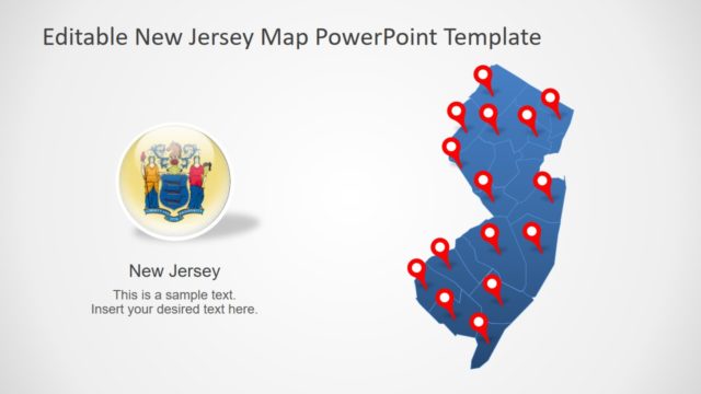
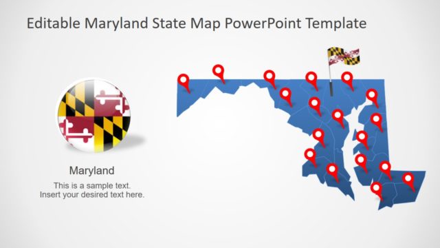
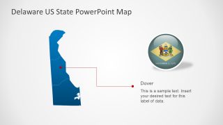
Delaware is a Mid-Atlantic and Northeastern state of the USA and the second smallest state. It shares borders with Pennsylvania, New Jersey, and Maryland. The editable map of Delaware US State could be used to display geographical regions. For example, roads, rivers, lakes, and major city locations. The slides include labeling lines and shapes to highlight Dover City.
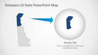
The Delaware US State PowerPoint Map presents silhouette maps in two standard colors, i.e., blue and gray. The users can change these colors from the Solid fill option in PowerPoint. They can also adjust the location markers, flags, and map size in PPT. The counties of Delaware are editable PowerPoint shapes. You can easily resize these county maps individually to focus on one region at a time. Delaware PPT template for presentations is compatible with PowerPoint & Google Slides.
Alternatively, you can download other US States map for PowerPoint & Google Slides presentations. For example, download Indiana US Map template for PowerPoint or the Alabama US State PowerPoint Map template. Check out other map templates here.


You must be logged in to download this file.
DOWNLOAD- Category
- Maps
- Rating

 Loading...
- Size
- 16x9
- Item ID
- 20357-01
- Colors
Subscribe today and get immediate
access to download our PowerPoint templates.