Malawi PowerPoint Map
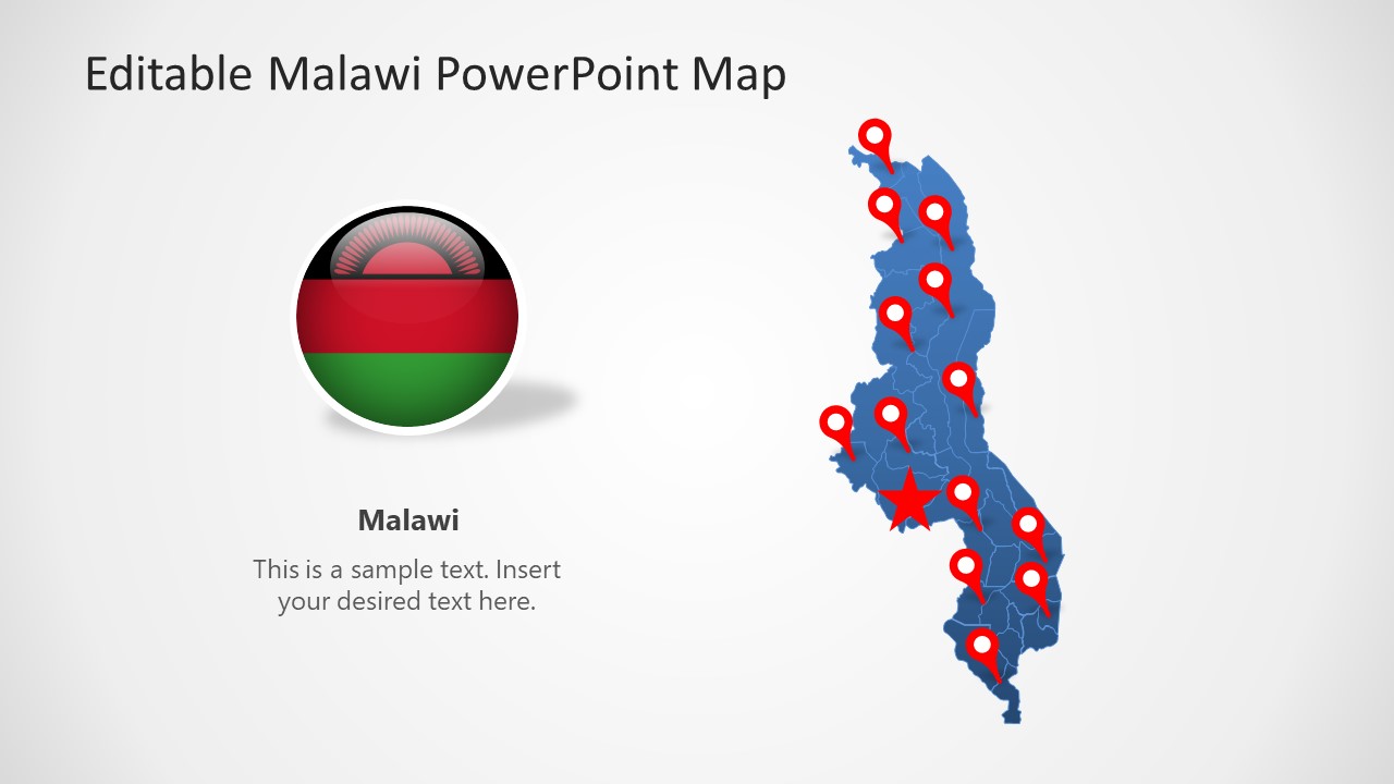
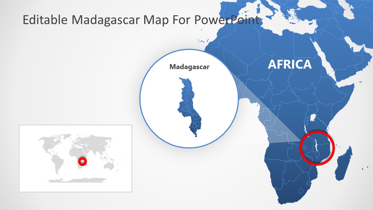
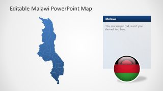
The Malawi PowerPoint Map is an editable template of outline maps. The slides contain silhouette shapes presenting a geographical map of Malawi. Malawi is a land-locked country in Southeast Africa. It shares borders with Zambia, Tanzania, and Mozambique. The country is also known as Republic of Malawi. The PowerPoint map templates will let users demonstrate regional and geography-based concepts using country’s map. For example, share insights into geographic market segmentation using maps. The SlideModel collection of Africa Maps provide templates of more African countries, MENA countries, and entire continent maps.
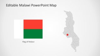
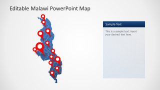
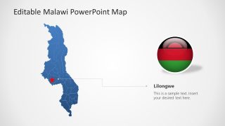
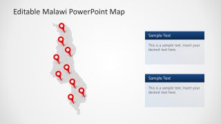
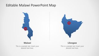
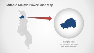
The 7 slides of Malawi map templates offer design variations. You can pick a template that fits best to the presentation content. The editable maps and made up of 28 district maps. There are slides of blue and gray silhouette maps with several design options such as location markers, vector-based flag icons, and highlighted district sections. The slides also provide highlighted province and capital city layouts. You can create similar templates for province or city maps using these layouts. These geographic map slides will help navigate the regions of Malawi. Especially during presentations of research statistics, sales data, or geography lessons.
The Malawi PowerPoint Map templates are vector-based layouts that users can customize by changing colors, size, shape effects, etc. For instance, presenting economy statistics of each province and color code regions high or low-income states. You can apply animations or change PowerPoint backgrounds in country map templates.
