Editable Mozambique Map PowerPoint Template
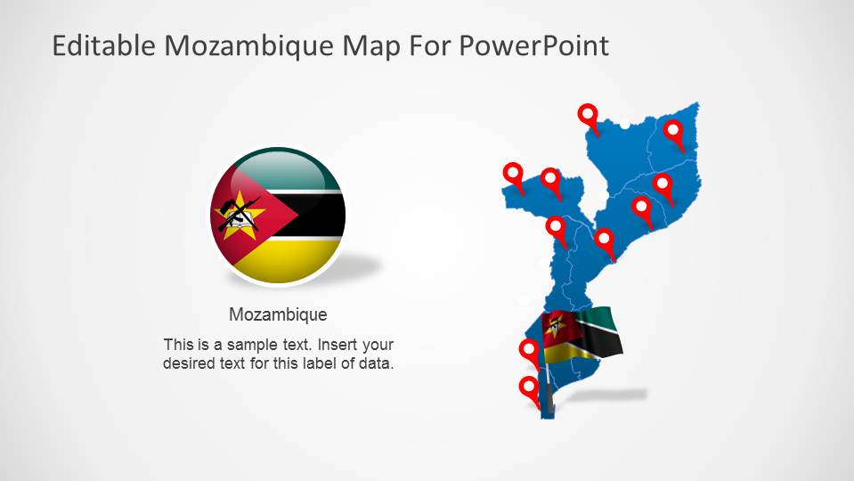
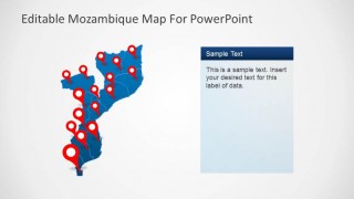
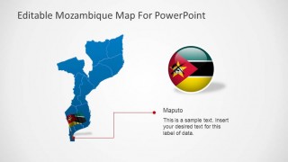
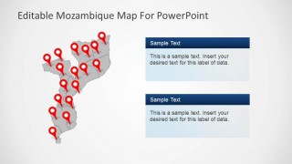
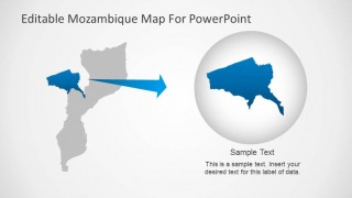
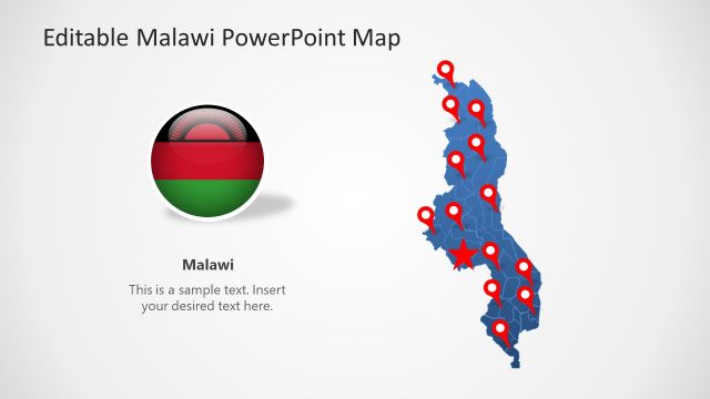
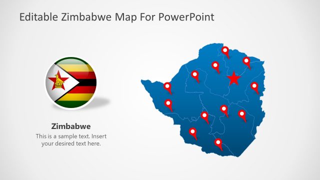
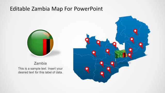
Editable Mozambique Map PowerPoint Template is a presentation containing political and outline maps of the Republic of Mozambique. Our editable PowerPoint Maps are created as a composite of PowerPoint objects. Each object represents a country state, so the whole map is built as a state puzzle, allowing the user full customization of the templates, its layout and of course its PowerPoint properties. The Editable Mozambique Map PowerPoint Template comes themed with our blue stylish gradient color, but can be updated by the user with the desired palette. The Editable Mozambique Map PowerPoint Template provides useful icons , powerful tools for describing locations across the map, travelling routes or specific trading or tourism locations. It provides the Mozambique Flag Icon and a 3D round Icon with the national colors that can be used in different presentations.
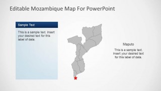
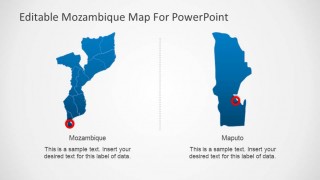
Mozambique is a country located in the Southeast of Africa and borders with the Indian Ocean, Tanzania, Malawi, Zambia, Zimbabwe, Swaziland and South Africa. Mozambique capital city is Maputo; the Editable Mozambique Map PowerPoint Template contains a slide with the capital city highlighted for ease of use. In case a specific state needs to e highlighted it provides a slide with a focus theme where the user can locate the desired state to highlight and increase the attention on it with a highlight effect.
Enjoy working with our flexible PowerPoint Maps and combine them with other PowerPoint Templates, impress your audience and create outstanding presentations with appealing themes and graphics.
