Editable Map of Somalia
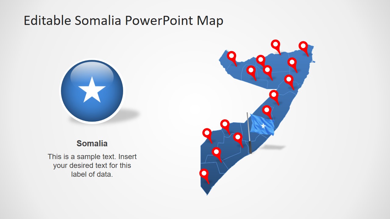
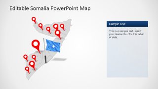
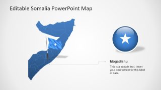
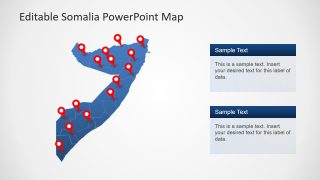
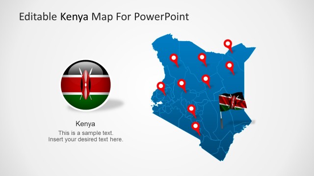
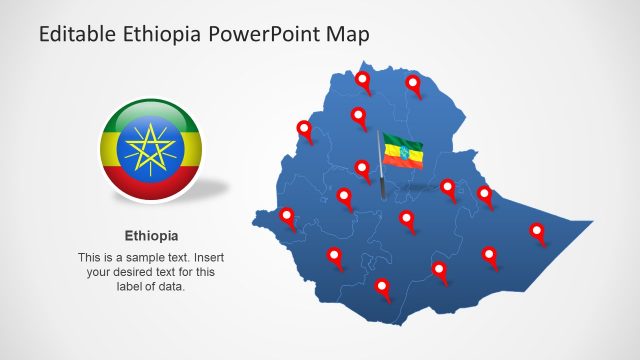
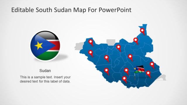
The Editable Map of Somalia is a flat PowerPoint template showing geographical area graphics of African country. It includes 8 slides of outline maps in blue and gray color with multiple layout designs. These maps are the collection of eighteen individual editable segments as administrative regions of Somalia. Therefore, users can select any regional segment to highlight and present further. This map of Somalia contains flat PowerPoint shapes to highlight regions with the help of flags and location marker icons. For example, flag badge, on-pole flag, red location pins, star pointers, and text placeholders.
These silhouette maps of editable figures are ideal for discussing demographic of a region. These slides of editable county maps complement presentations of geographic statistics such as literacy, cost of living, employment etc. Further, these maps will benefit professionals to represent country’s culture, values, exports, and opportunities on international forums. Furthermore, the Editable Map of Somalia can benefit business consultants, sociologists, and researched by cutting presentation preparation time in half.
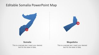
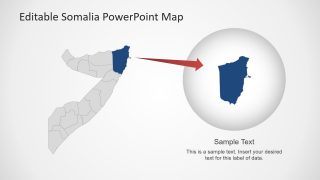
The PowerPoint template of editable Somalia map presents silhouette shapes of country’s geographic region. Initially, these shapes are blue and gray with outlines to easily distinguish each administrative district. The 8 slides of Somalia map offers several design choices to users. Specially zoom-in style for Somalia’s capital. This zoom-in option could be used for any editable region. Additionally, a presenter can easily change map colors and size in fraction of time using PowerPoint customization features.
