Editable Guyana Map PowerPoint Template
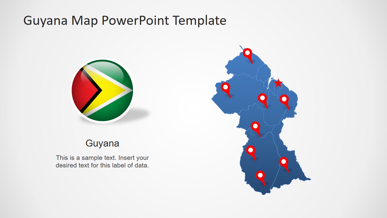
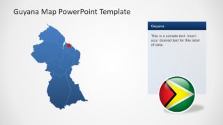
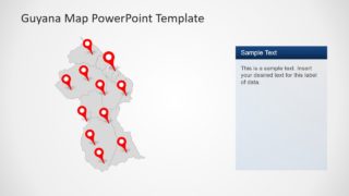
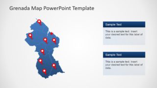
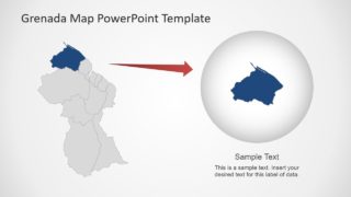
The Editable Guyana Map PowerPoint Template is a collection of geographic presentation slides. There are 8 slides of Guyana outline map with different layout designs. These slides are helpful for labeling major regions of the country. The silhouette shapes will also provide a professional look to overall presentation instead of adding map images. Because these maps are editable outline shapes that users can customize to fit presentation needs. For example, change colors, add gradient effects, or resize segments of map with easy-to-use PowerPoint toolkit.
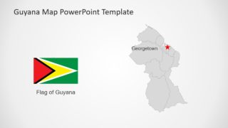
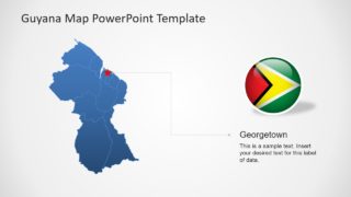
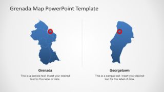
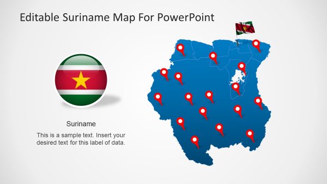
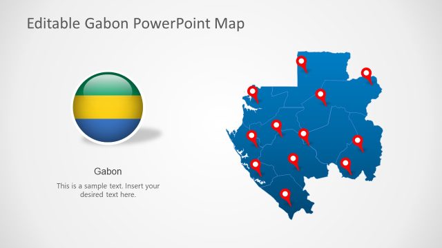
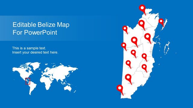
Guyana is a South American country that borders Suriname, Venezuela, and Brazil. The Deck of map templates contains blue and gray geographic outlines. These are vector maps of Guyana with 10 separate regional segments feature capital city Georgetown. Moreover, Guyana PowerPoint Map template include high-quality clipart icons and shapes to assist in geographic presentations. For example, the flag button and location pin markers.
The Editable Guyana Map PowerPoint Template is suitable for business marketing presentations. Because the blue and gray color theme highlights regions with executive outlook. However, a few simple customizations can assist in academic learning presentations or tourism slides. The Political map template of Guyana is also suitable for international representation of country at global forums. These slides could help display statistical surveys.
