Editable Dominica Map PowerPoint Template
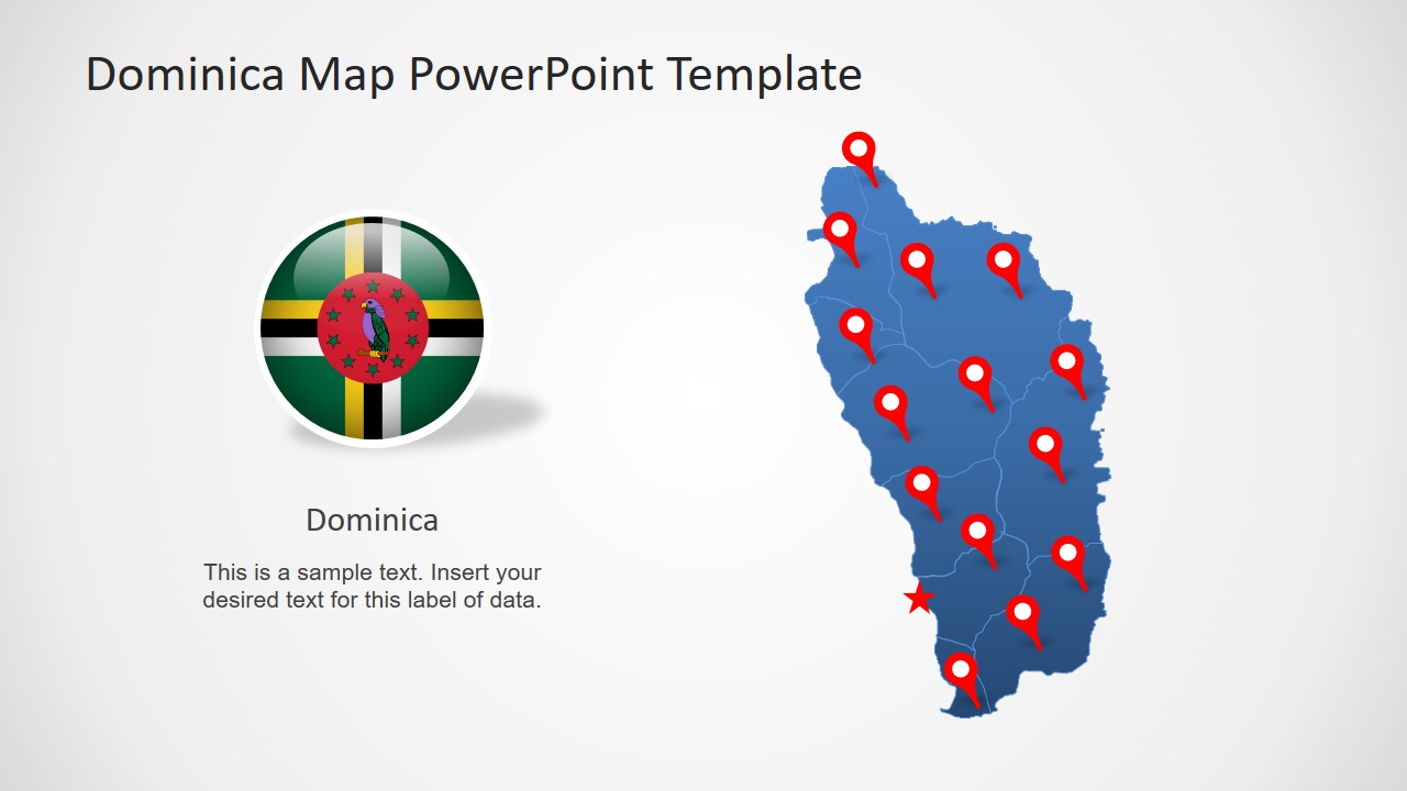
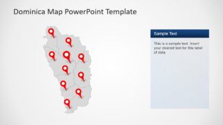
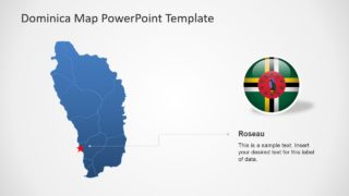
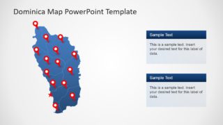
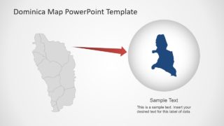
The Editable Dominica Map PowerPoint Template is a geographic presentation for Commonwealth of Dominica. This template contains 8 slides of editable silhouette maps of Parish outlines. The 10 parishes in this template are individual PowerPoint shapes join in a map format. These include maps of Saint Andrew, David, George, John, Joseph, Luke, Mark, Patrick, Paul, and Peter. In this way, users can customize individual Parish segments by changing colors, effects, and shapes. Further, they can copy a desired slide or map into predesign presentation by keeping source formatting.
Dominica is an island nation of the Caribbean Sea with 10 administrative divisions i.e. Parish. The official name of country is Commonwealth of Dominica. The editable map template of country could be used for range of professionals and casual presentations. Because silhouette map could be customize to meet certain presentation objectives. For example, create a colorful slide of labels for geographic region lessons. Similarly, use different colors to explain statistics of population, tourism, or consumer market.
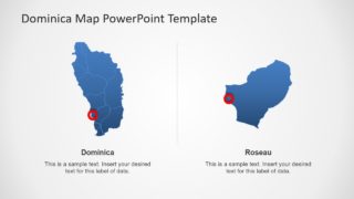
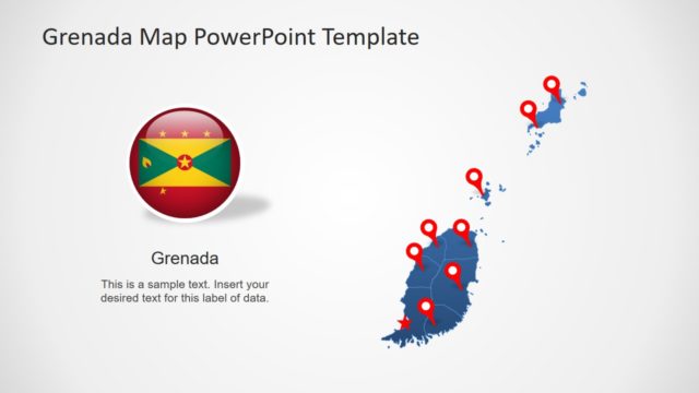
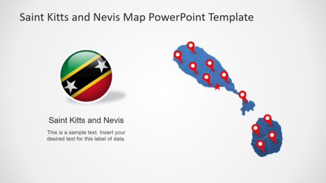
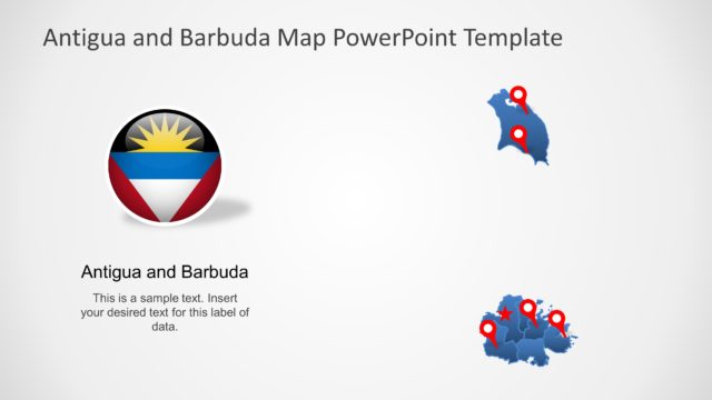
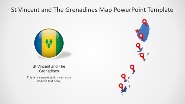
The Editable Dominica Map PowerPoint Template also provides two flat flag images and different location markers. All slides show different versions of Dominica maps using blue and gray silhouette shapes and several text placeholders. The last two slides depict zoom-in feature of PowerPoint by using en-large copy of shapes to highlight separate units. Download more country and city presentations from a wide range of Map templates in SlideModel.
