Cote d’Ivoire PowerPoint Map
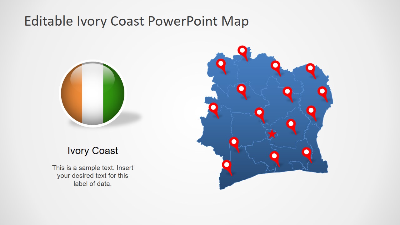
Cote d’Ivoire PowerPoint Map – Also Ivory Coast Map template presents 8 slide designs to represent this country geographically. These slides include single color silhouette outline maps of Ivory Coast, a West African country. Further, these maps combine all individual segments for administrative divisions of the country, creating an editable PowerPoint template. Ivory Coast or Cote d’Ivoire is on Gulf of Guinea coastline and neighboring five other African nations. It is famous for its vast natural resources, cocoa, and coffee production. And map template of this country will assist users to promote business in Cote d’Ivoire with the help or regional location graphics.
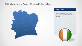
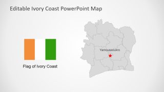
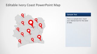
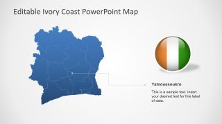
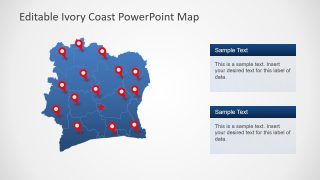
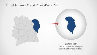
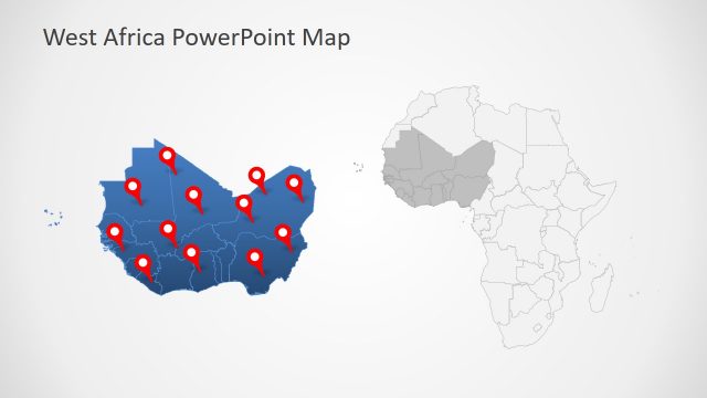
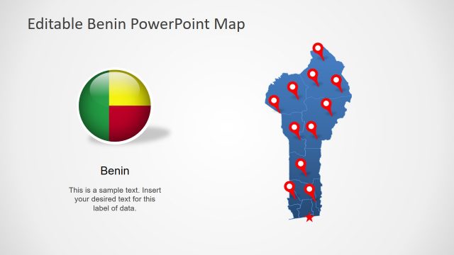
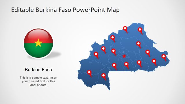
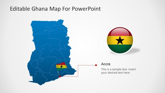
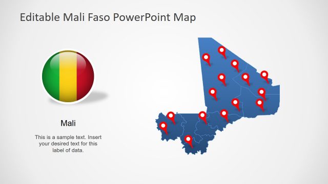
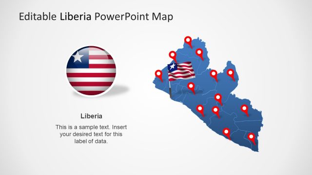
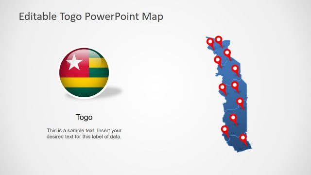
The Cote d’Ivoire PowerPoint Map shows blue and gray outline maps with additional clipart icons as visual aid for presentation. These include location pins i.e. geo-location marker, star, and circle or flag shapes like flat rectangular and circular badge. There are 12 administrative segments and Yamoussoukro as the political capital of Ivory Coast. The users can make several changes in design of maps like altering colors, resize shapes, or text in placeholders. The flags in this template are flat images. SlideModel offers few templates for worldwide country flag images in alphabetic order.
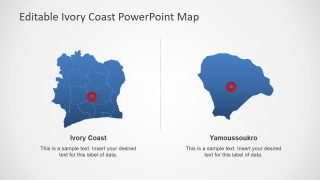
The editable PowerPoint template shows two slides to highlight district divisions. These slides will enable users to follow a similar pattern for more slides. The professionals can use this map template of Cote d’Ivoire for marketing and business opportunities. This could be used as an educational template for geographic lessons.
