Anguilla PowerPoint Map
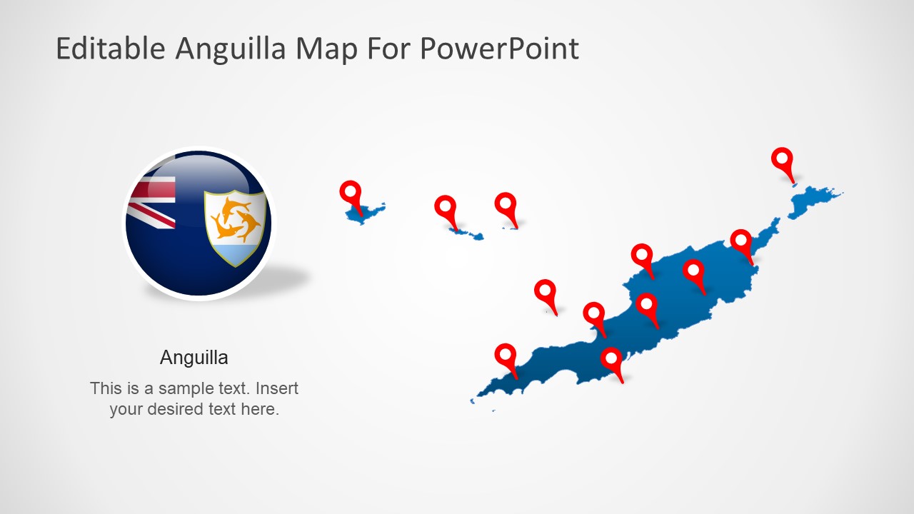
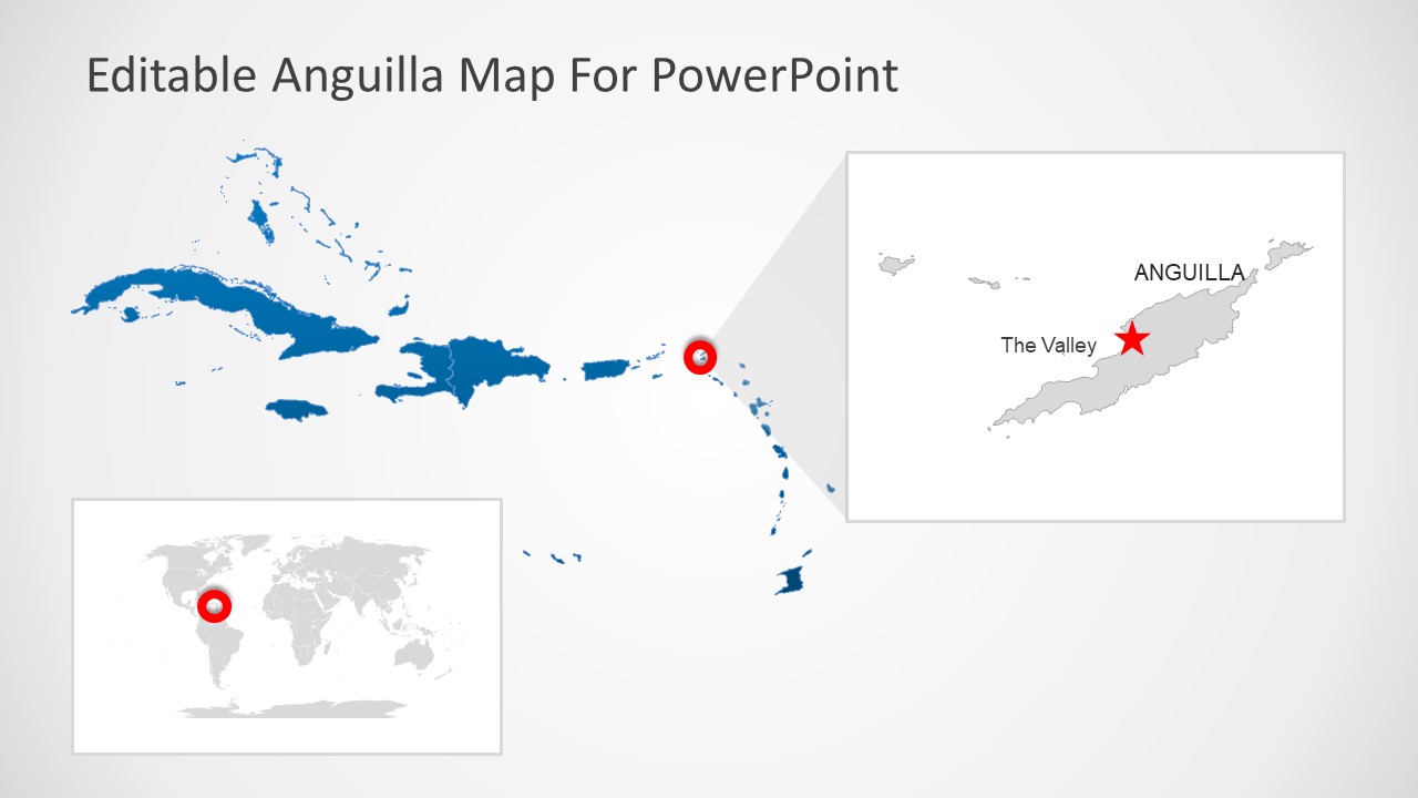
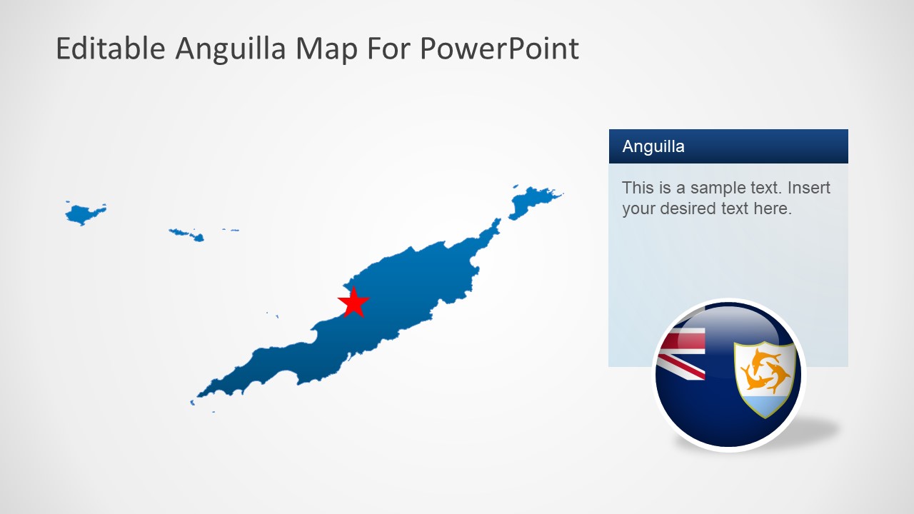
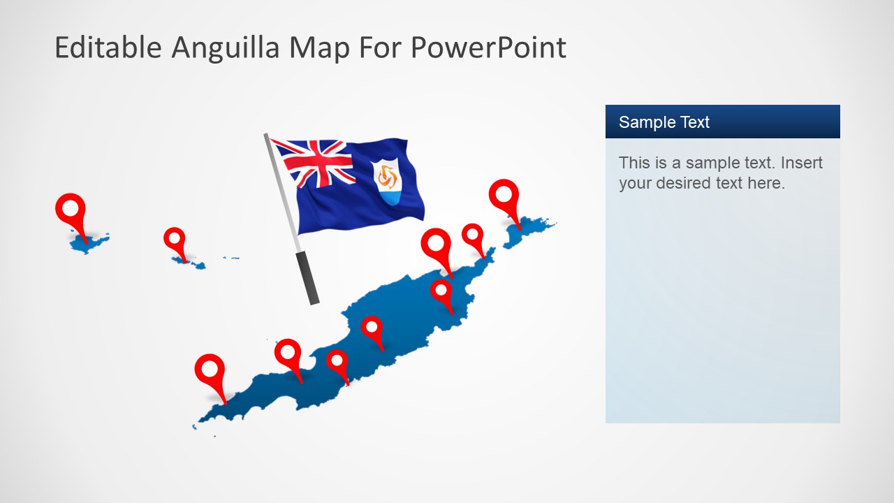
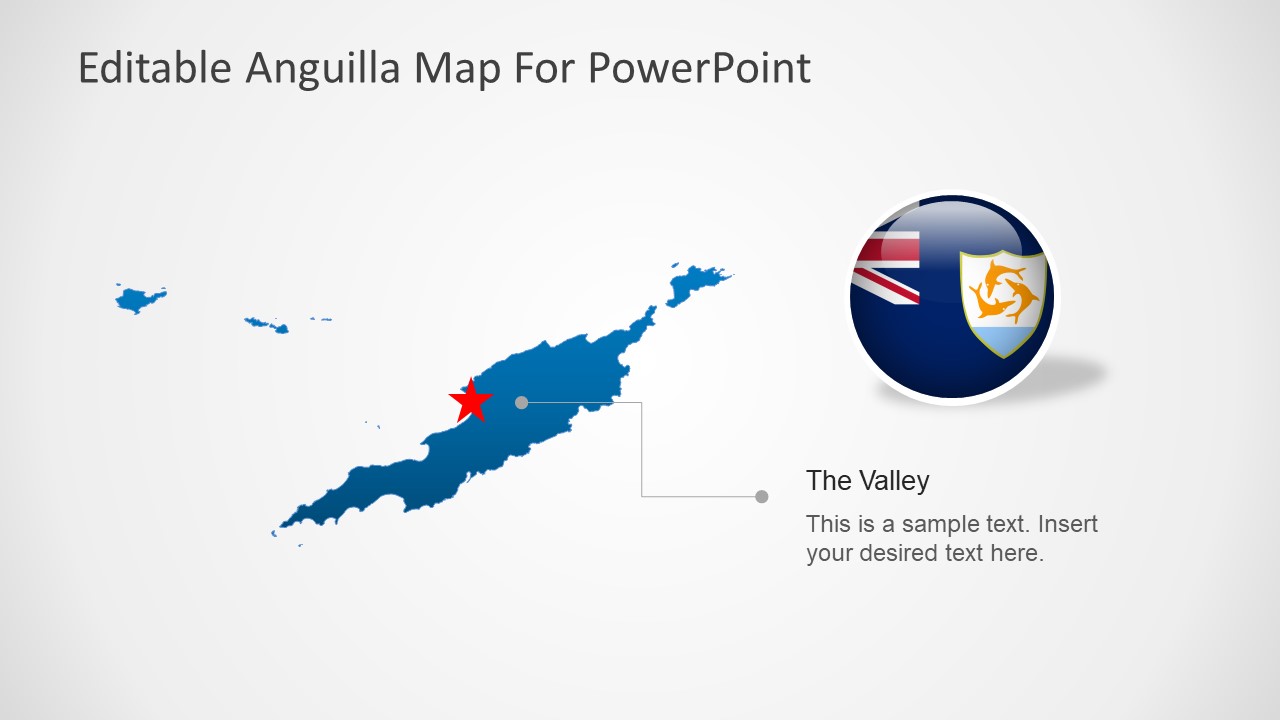
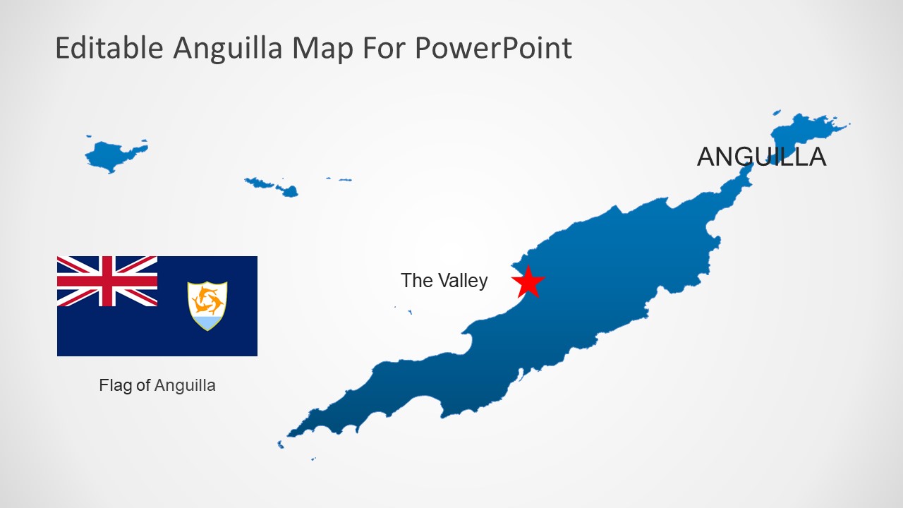
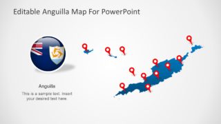
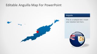
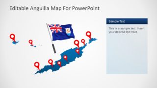
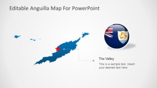
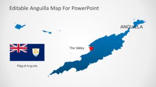
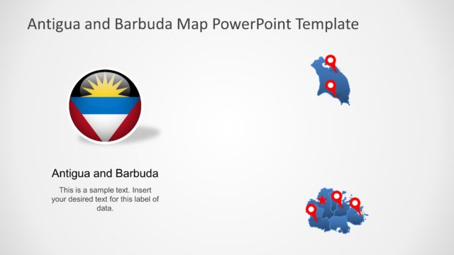
The Anguilla PowerPoint Map is a silhouette layout for geographical presentation of Anguilla. It is a presentation of geographic regions for the Caribbean country. The template could be used to describe a wide range of business and academic learning topics. For example, describe Anguilla’s economy, tourism in country, politics, and other demographic statistics. The PowerPoint template of Anguilla includes vector maps of country with location markers that highlight its capital city, The Valley. Further, the vector images are high-quality PowerPoint graphics.
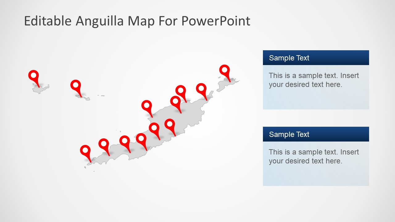
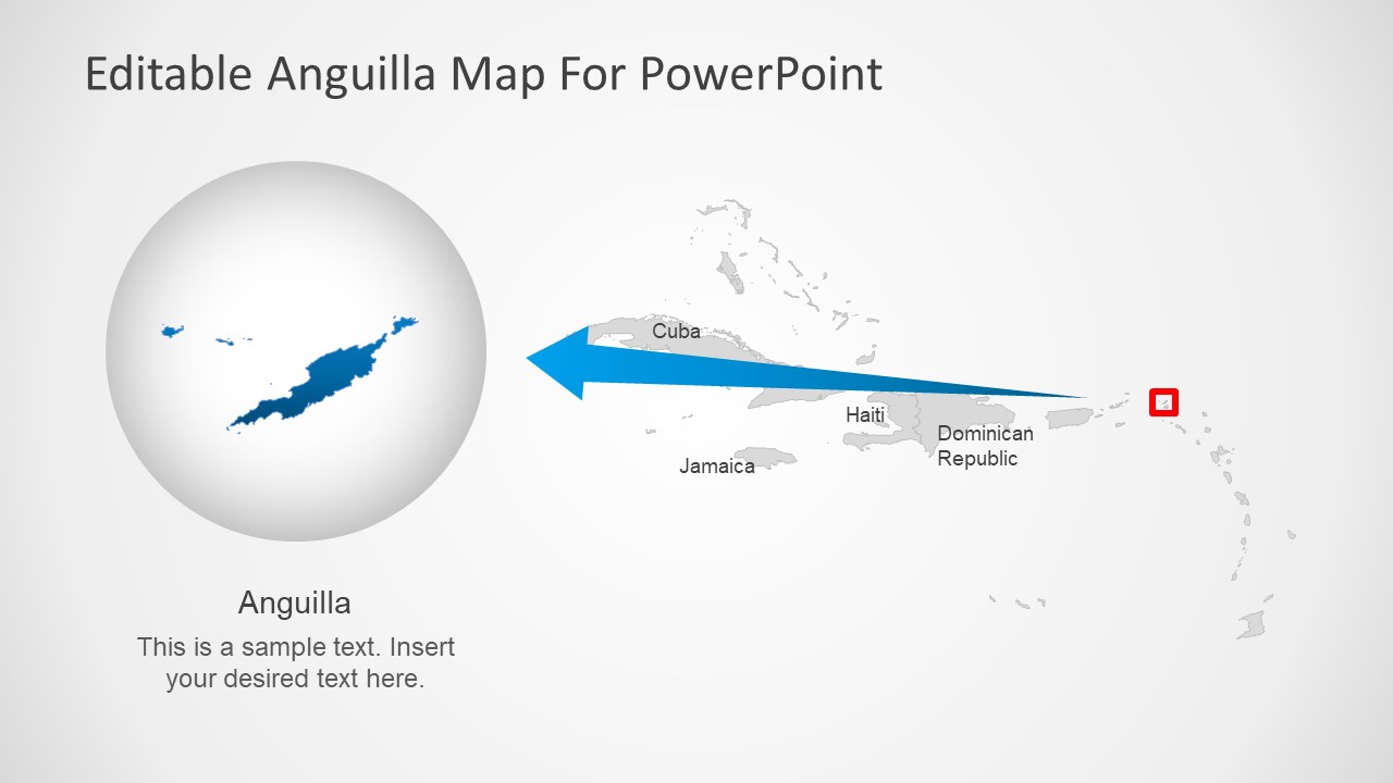
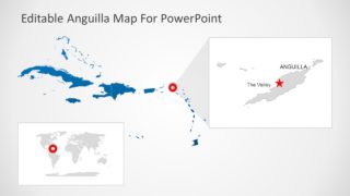
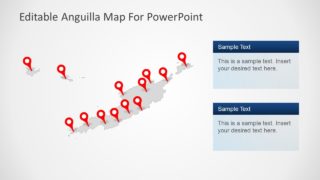
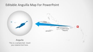
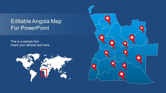
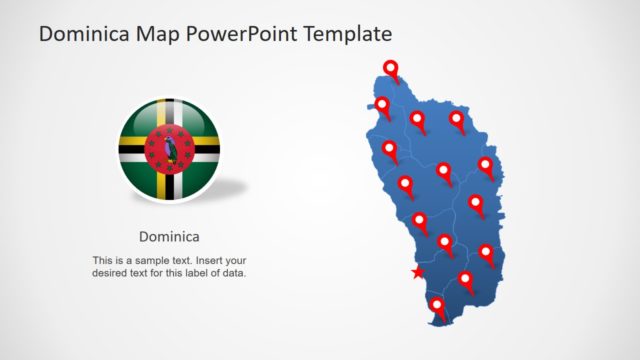
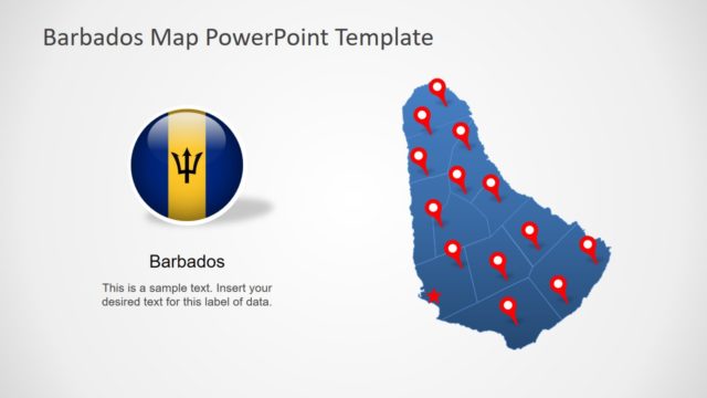
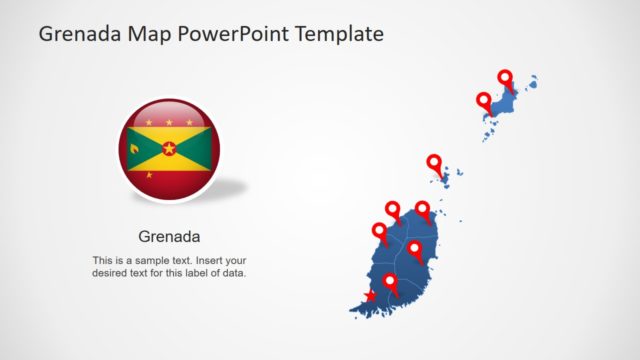
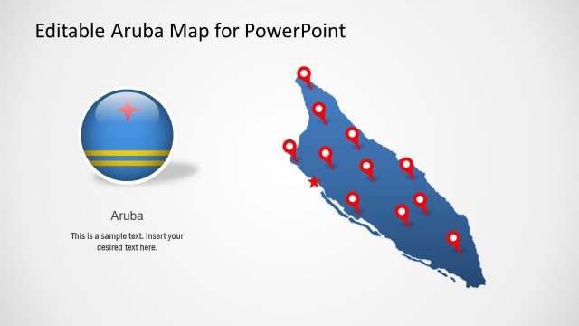
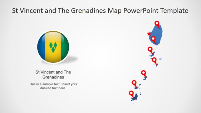
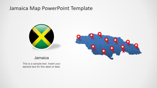
The PowerPoint map template of Anguilla features The Valley by highlighting it through location pins. There are further slides that provide a zoom-in version of The Valley in resizing map segments. The PowerPoint map template of Anguilla also contains a collection of silhouette Caribbean Irelands. These include Cuba, Haiti, Jamaica, and Dominican Republic. The template additionally contains 2 styles of text placeholders to insert useful information. Moreover, the map PowerPoint of Anguilla includes a circular flag badge to represent country.
The Anguilla PowerPoint Map is a set of fully editable vector shapes. The users can easily change fonts, colors, resize objects, and text to custom design map presentations. These map slides could be used as a part of academic learning i.e. geography class. Or, present social and business concepts such as factual data, statistics, research reports, and business plans.
