Slide 3 of 8 from Anguilla PowerPoint Map
Caribbean Country Map PowerPoint
Editable Anguilla Map for PowerPoint
- Map
- Country Map
- Context Slide
- 16:9
- 100% Editable
What’s on This Slide
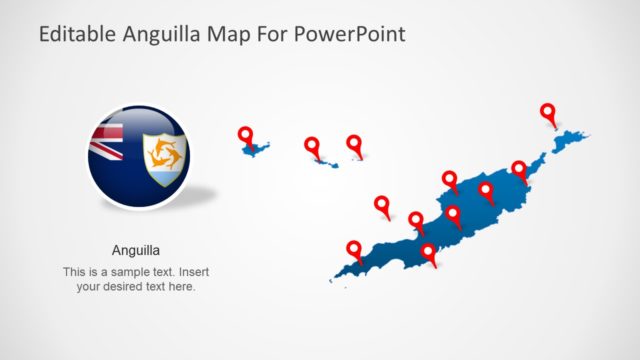
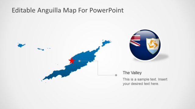
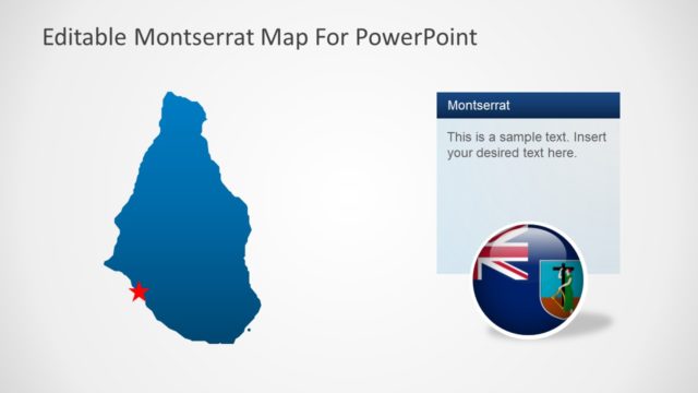
The slide features a map of Anguilla prominently displayed on the left side. The map is colored blue with a red star marking a specific location. To the right, there is a rectangular text box with a dark blue header labeled 'Anguilla' and a light gray body area containing sample text. The text box is vertically aligned and occupies the right half of the slide. Below the text box, a circular icon displays the Anguilla flag. The overall layout is balanced, with the map and text box clearly delineated.
How to Use It
This layout serves as a geographic reference, ideal for presentations focusing on Anguilla. It can be used to highlight specific locations or provide contextual information about the region. This slide fits well in a sequence discussing geographical data, tourism, or regional analysis. It is suitable for business presentations, educational content, or travel-related discussions, allowing for customization of text to convey specific messages.
Text Placeholders & Capacity
Keep your copy within these limits so it fits without resizing. Text slots can accommodate concise information, roughly 10-15 words each.
| Placeholder | Count | Max characters (approx.) |
|---|---|---|
| Slide title | 1 | 30 |
| Item body | 1 | 60 |
Slide Keywords
Download unlimited PowerPoint templates, charts and graphics for your presentations with our annual plan.
DOWNLOADReturn to Anguilla PowerPoint Map.