Slide 5 of 29 from #2 Maps Bundle PowerPoint Template
30011-01-maps-bundle-powerpoint-4
World Map Continents Overview
- Map
- World Map
- Context Slide
- 16:9
- 100% Editable
The World Map Continents slide from the #2 Maps Bundle PowerPoint Template offers a clear geographical overview ideal for market analysis presentations and demographic studies. This slide template includes editable shapes and vector icons to visually connect data points across continents, making it a practical choice for corporate presentations and regional comparison reports.
What’s on This Slide
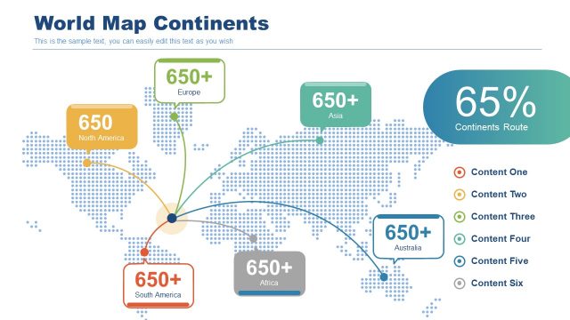
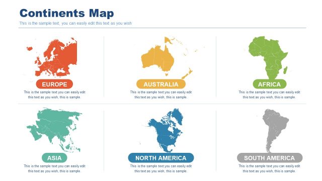
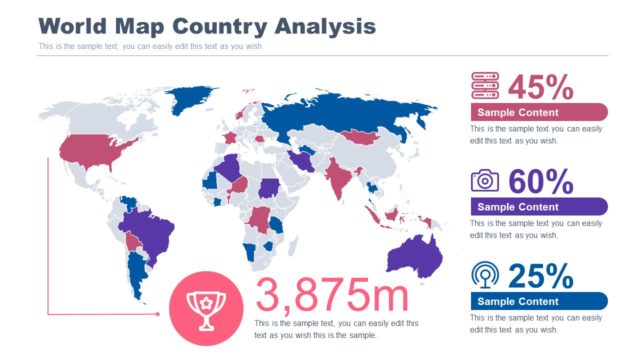
The layout features a world map with dotted patterns as the background. Positioned at the top is a large title reading 'World Map Continents'. Below, various continent labels, such as 'Europe', 'Asia', 'North America', 'South America', 'Africa', and 'Australia', are displayed in colored boxes with numbers indicating data points. Connecting lines extend from a central point to each continent, indicating relationships. A prominent statistic, '65%', is highlighted in a large box on the right, with additional text placeholders for content below. The overall composition is organized and visually structured.
How to Use It
This layout serves as a geographical overview, ideal for presenting data related to continents. It fits well in a presentation sequence following a problem slide and before detailed analysis. Suitable scenarios include market analysis, demographic studies, and regional comparisons. The layout allows for clear visualization of data connections, making it effective for discussions on global trends or strategies targeting specific continents.
Text Placeholders & Capacity
Keep your copy within these limits so it fits without resizing. Node slots can accommodate brief labels, roughly 2-3 words each.
| Placeholder | Count | Max characters (approx.) |
|---|---|---|
| Slide title | 1 | 30 |
| Item heading | 6 | 10 |
| Item body | 6 | 10 |
| Callout | 1 | 10 |
| Body paragraph | 1 | 50 |
Slide Keywords
Download unlimited PowerPoint templates, charts and graphics for your presentations with our annual plan.
DOWNLOADReturn to #2 Maps Bundle PowerPoint Template.