Slide 12 of 29 from #2 Maps Bundle PowerPoint Template
30011-01-maps-bundle-powerpoint-11
Continents Map for PowerPoint Presentation
- Map
- Continent Map
- Context Slide
- 16:9
- 100% Editable
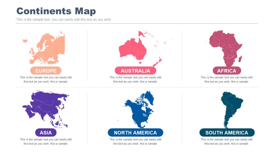
The Continents Map slide from the #2 Maps Bundle PowerPoint Template offers a structured layout with six distinct continent maps, ideal for geographic market analysis and demographic presentations. This slide template supports clear visual comparisons across regions, making it suitable for business presentations and educational geography content. Its editable shapes and organized design enhance the effectiveness of any corporate presentation or slide deck focused on global context.
What’s on This Slide
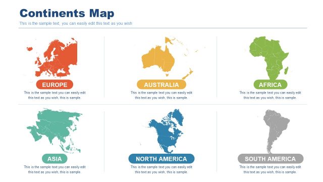
The layout features a grid of six continent maps arranged in two rows and three columns. Each map is outlined in a distinct color representing Europe, Australia, Africa, Asia, North America, and South America. Below each map, there is a text placeholder centered for editing, indicating the continent's name. The title is positioned at the top center, with a larger font size than the body text. The background is light, enhancing the visibility of the colorful maps. Overall, the design promotes a clear visual hierarchy and organization.
How to Use It
This layout functions as a comparative overview of continents, suitable for presentations discussing geographic markets or demographic data. It fits well after introductory slides that present global context. This structure can be utilized in business scenarios such as market analysis, educational content on geography, or regional comparisons in reports. The clear visual separation of each continent allows for easy identification and discussion.
Text Placeholders & Capacity
Keep your copy within these limits so it fits without resizing. Body slots can hold around 15-20 words each.
| Placeholder | Count | Max characters (approx.) |
|---|---|---|
| Item heading | 6 | 20 |
| Body paragraph | 6 | 80 |
| Slide title | 1 | 30 |
Slide Keywords
Download unlimited PowerPoint templates, charts and graphics for your presentations with our annual plan.
DOWNLOADReturn to #2 Maps Bundle PowerPoint Template.