Slide 4 of 29 from #2 Maps Bundle PowerPoint Template
30011-01-maps-bundle-powerpoint-3
World Map by Continents for Presentations
- Map
- World Map
- Context Slide
- 16:9
- 100% Editable
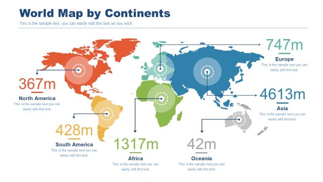
The World Map by Continents slide from the #2 Maps Bundle PowerPoint Template offers a clear geographic overview ideal for demographic analysis and regional strategy presentations. This slide template features editable shapes and distinct continent colors to highlight population statistics, making it a practical addition to business presentation slide decks requiring precise market overviews.
What’s on This Slide
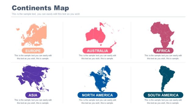
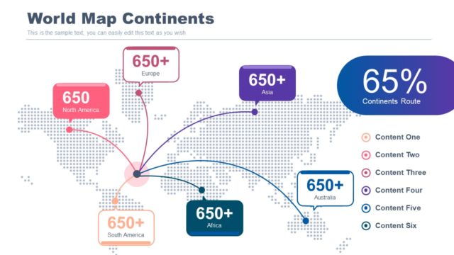
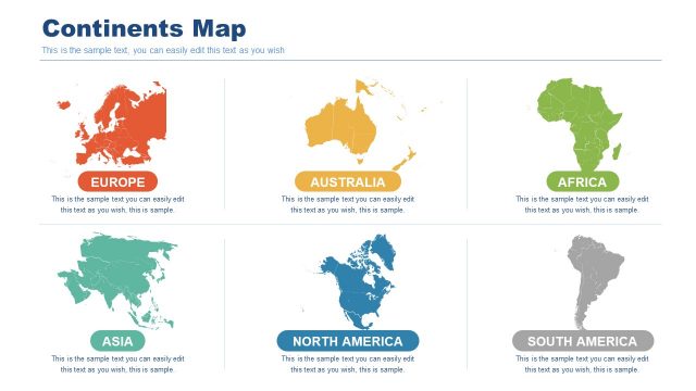
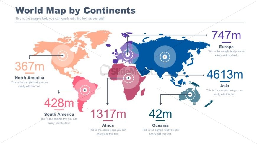
The slide features a world map divided by continents, with each continent shaded in distinct colors. Key statistics are displayed next to each continent, including population figures in millions. Text placeholders are positioned below each continent label, aligned centrally. The title is prominently placed at the top center, with a larger font size than the other text. The overall layout is balanced, with visual emphasis on the map and statistics. The background is light, allowing the map colors to stand out effectively.
How to Use It
This layout serves as a geographic overview, ideal for presentations discussing global demographics or market analysis. It fits well after a problem slide, providing context for regional comparisons. This structure is useful for businesses presenting data on population distribution, market potential, or regional strategies. It allows for easy editing of statistics and labels to tailor the content to specific audiences or objectives.
Text Placeholders & Capacity
Keep your copy within these limits so it fits without resizing. Node labels can hold about 20 characters each, while body text can accommodate around 50 characters.
| Placeholder | Count | Max characters (approx.) |
|---|---|---|
| Slide title | 1 | 30 |
| Item heading | 6 | 20 |
| Item body | 6 | 50 |
Slide Keywords
Download unlimited PowerPoint templates, charts and graphics for your presentations with our annual plan.
DOWNLOADReturn to #2 Maps Bundle PowerPoint Template.