West Virginia US State With Counties PowerPoint Map
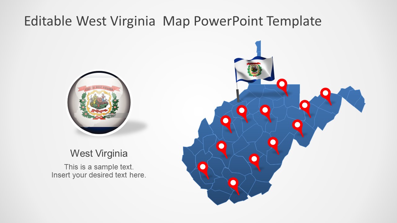
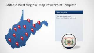
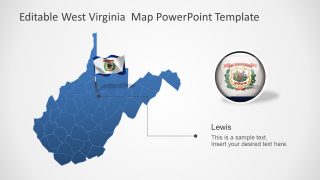
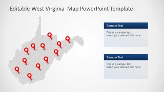
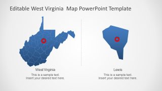
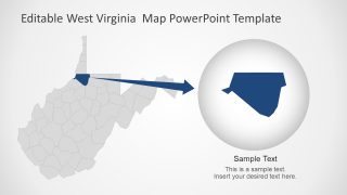
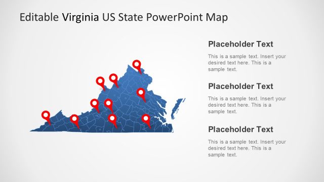
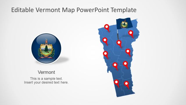
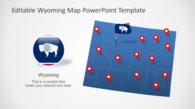
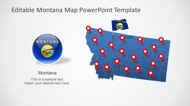
The West Virginia US State With Counties PowerPoint Map is an editable outline template. This is an editable PowerPoint map template containing 7 slide designs for the USA state of West Virginia. It is a southern state of America neighboring Virginia, Kentucky, Ohio, Maryland, and Pennsylvania. West Virginia has 55 counties with the most populated being Kanawha, Berkeley, and Cabell. SlideModel map template of the U.S. State presents editable counties as flat silhouette PowerPoint shapes. These shapes put together a whole map of West Virginia. Unlike map graphics, the editable outline map of U.S. State will give users flexibility to personalize its contents. These PowerPoint maps are fully compatible with google slides themes for online presentations or webinars.
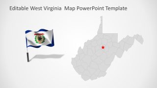
The outline US map template provides 7 versions of West Virginia’s geographical region. These slides are originally blue and gray maps with white PowerPoint background. The users can customize these colors from shape fill or background themes option in design menu. Such outline PowerPoint maps for geographical regions are suitable for labeling locations. Therefore, this slide deck offers a collection of location pins including GPS markers and flags. It also includes a high-quality vector image of West Virginia flag that could be used for variety of presentation topics.
The West Virginia US State With Counties PowerPoint Map is a professional design, suitable for business, marketing, or educational purposes. For instance, users can easily color-code each county and display statistical data social and economic reports. The PowerPoint templates of West Virginia can also be used to display target market, business locations, and landmarks.
