West Africa PowerPoint Map
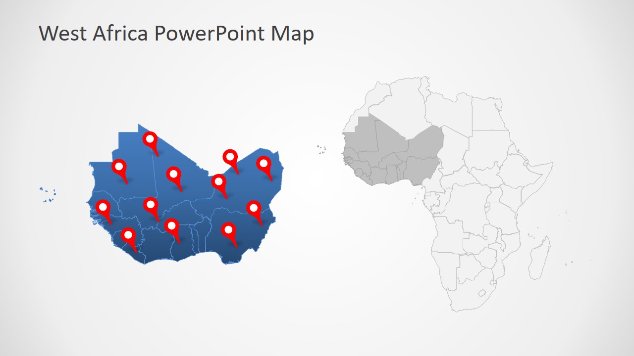
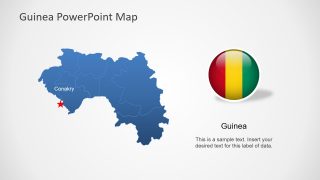
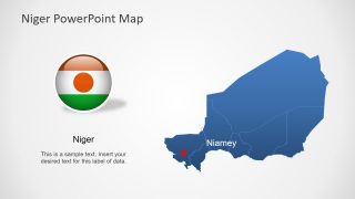
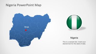
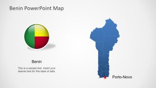
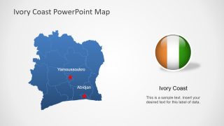
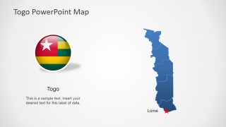
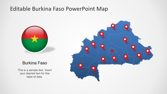
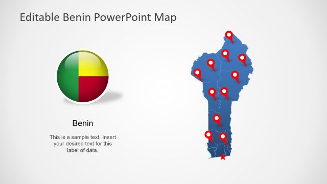
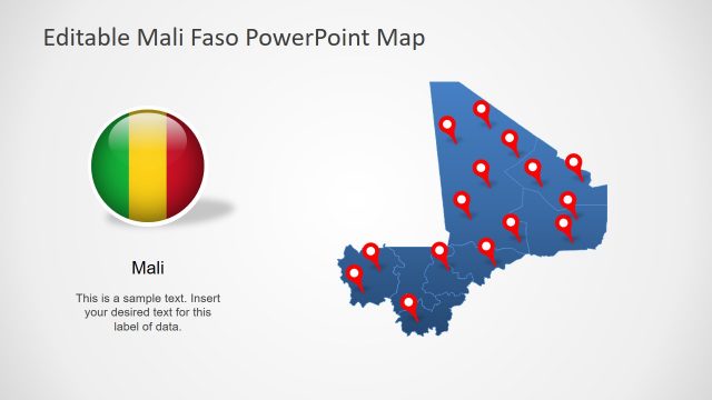
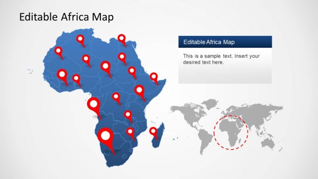
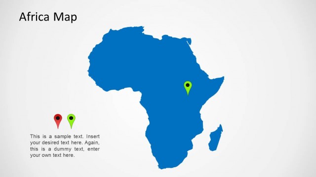
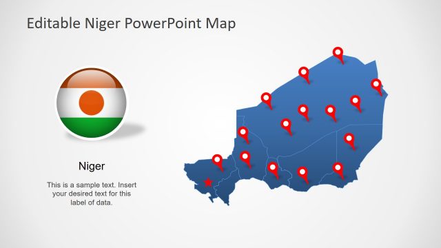
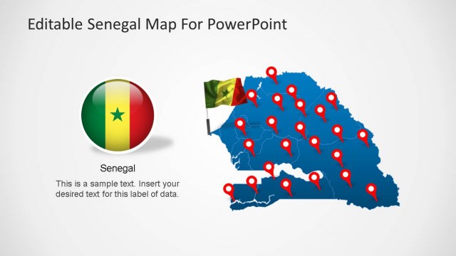
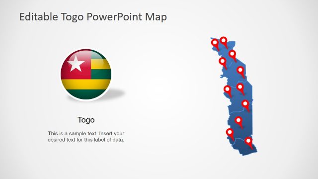
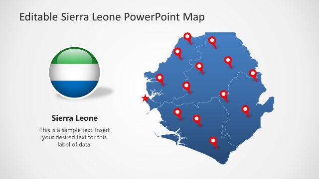
West Africa PowerPoint Map – An editable continental map of Africa in outlined silhouette design. It shows African countries with the help of multiple flag shapes and location marker pin clipart. There are 9 slides containing editable maps of 9 West African countries. These include Burkina Faso, Mali, Guinea, Niger, Nigeria, Benin, Ivory Coast, and Togo. While the first slide of this presentation displays west part of African continent. It also contains an outline map of entire African continent that grays out West part. Add these map slides in any professional or casual presentation to visualize geographical data. Such as to locate business franchise, tourist spots, target consumer market, statistical trends, etc.
The editable map template is further suitable to mark specific places and display travel routes. For example, use a dotted line tool to create path between two or more location markers. And, the location markers could be used for geographical labeling presentations during geology lessons.
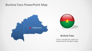
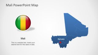
A Special feature of West Africa PowerPoint Map is the collection of seven islands in first slide. However, the subsequent eight slides contain blue silhouette maps of each country. The star pointer on each map represents capital city location. Furthermore, the PowerPoint map template of West Africa contains circular flag icons against each country map. These flag icons appear as a badge to represent country’s identity.
