Washington State PowerPoint Map
The Washington State PowerPoint Map is a geographic template for state of America. It is a creative addition to SlideModel collection of editable maps. The SlideModel collection of Maps include various country, continent, city, and USA state maps. For example, a special city map template for Washington D.C., the administrative capital of USA. The geographic PowerPoint Template of individual state is useful for explaining various demographics, and marketing concept. Such as regional sales, target market, marking territories and important areas, etc. Further, this map template is useful for educational geography presentations. Because editable PowerPoint will help teachers to discuss physical and historic information about counties, state, and America as a whole.
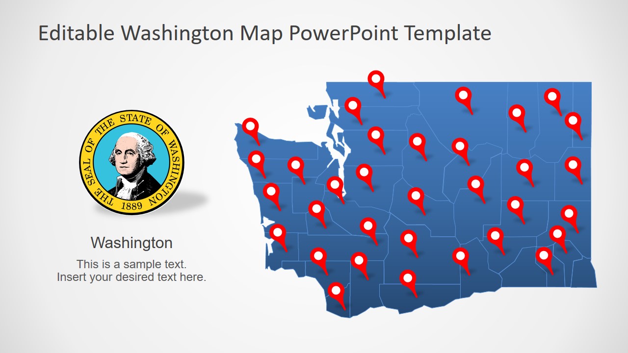
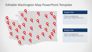
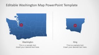
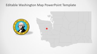
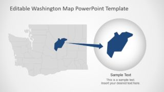
The Washington State PowerPoint Map is a template for one of the populous states in the United States of America. The PowerPoint template offers fully editable outline maps of Washington State. There are seven slides with different versions of silhouette county shapes, location pins and flags joint into a map. The flag of Washington State is a high-resolution image in PowerPoint. Therefore, resizing image will not affect its picture quality. Moreover, the maps contain multiple labeling styles such as zoom-in design, text placeholders, line pointer, etc. Although this template shows blue and gray silhouette maps for Washington State. The editing features help change the colors of a complete State map or its individual counties.
The PowerPoint template of Washington State shows 39 county shapes with location markers. The users can apply multiple solid fills to highlight these counties according to statics of marketing or research surveys. There are additional two slides to zoom in on specific states by simply using en enlarge version of county.
