Washington DC PowerPoint Template
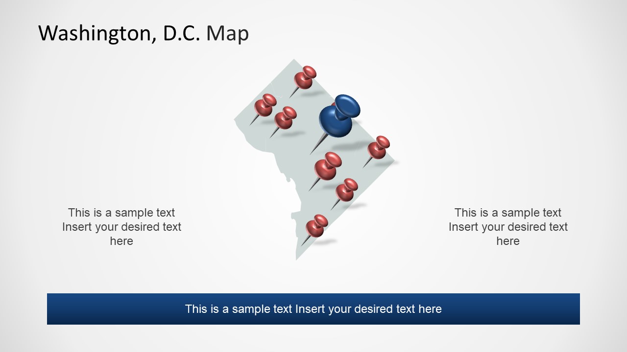
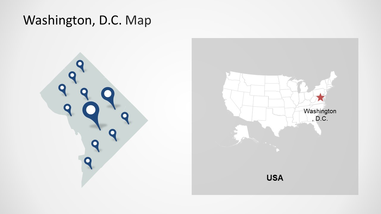
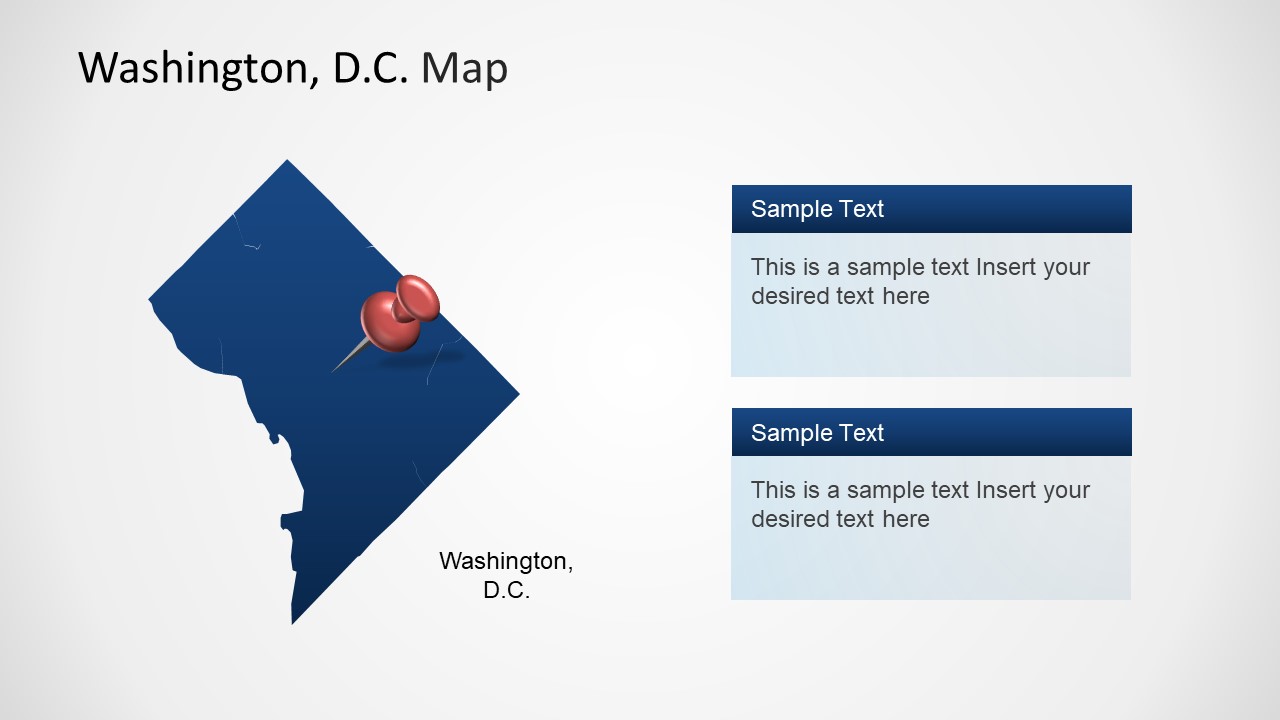
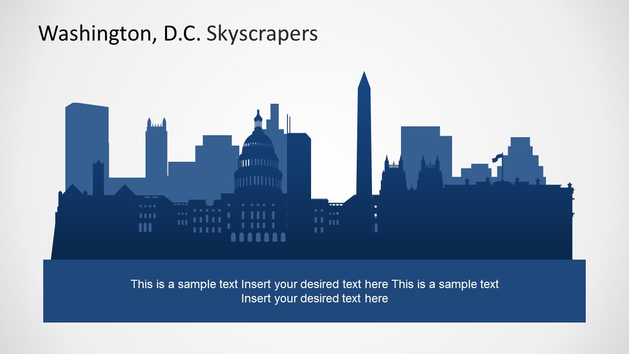
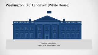
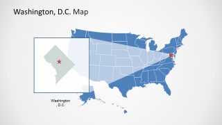
The Washington D.C. PowerPoint Templates is a city map presentation of the United States capital, formally known as the district of Colombia. The Washington, D.C. PowerPoint map contains flat design vector shapes and unique geographic clip art. Further, it has incredible silhouette images of cityscapes and historical places, such as the white house and Capitol building, known as the heart of Washington DC. These silhouette shapes of PowerPoint are available in the blue color theme. However, this utterly customizable template lets users change colors and themes. Washington, DC, has an exciting map geographically showing the border of Maryland and the Virginia State of the USA. This is because Washington DC borders Maryland in the northwest and east. It borders Virginia in the south and west.
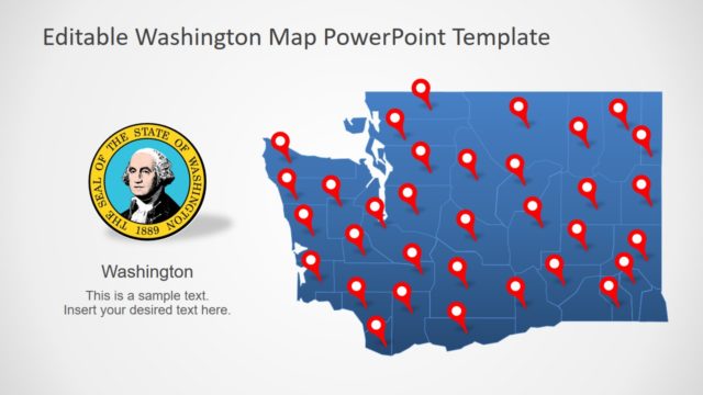
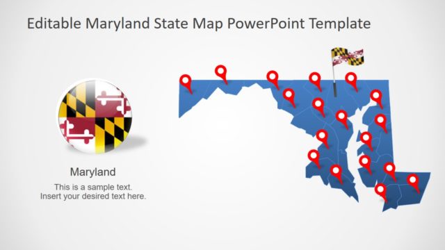
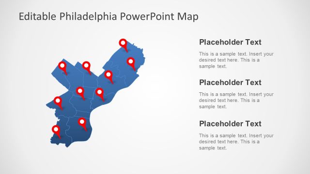
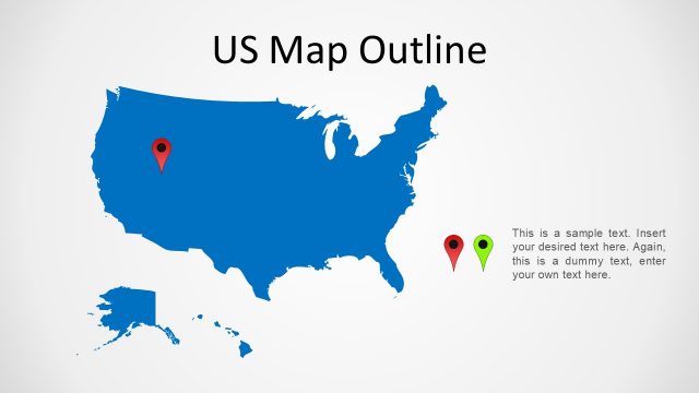
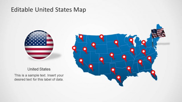
The Washington D.C. PowerPoint Templates is a remarkable presentation of editable maps. The template provides four stunning map slides that display closeup Washington DC. Further, the PowerPoint has a map of the United States of America, which also demonstrates the highlighting version of Washington, DC. These PowerPoint map templates have location markers and pins to mark several locations. Hence, the PowerPoint map template of Washington D.C. is ideal for presenting topics with specific locations and, for example, using slides for tourism, market surveys, demographic statistical analysis, and more. Moreover, the cityscape silhouette is helpful as the main header slide of a business presentation. On the other hand, the template of capitol building can illustrate political and historical topics.
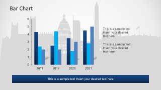
The 8-slide PowerPoint of the Washington D.C. map is comprised of individual units that create meaningful graphical illustrations. Such as the skyscraper PowerPoint clip art silhouette is a collection of separate building icons grouped together. This enables the presenter to color the icons differently to identify the building, like the capital building and monument. Further, the Washington D.C. PowerPoint has a helpful data driven multiple bar chart slide to assist with demographic presentations. The SlideModel also has Portland Oregon PowerPoint map template available for download.


You must be logged in to download this file.
DOWNLOAD- Category
- Maps
- Rating


 Loading...
- Size
- 16x94x3
- Item ID
- 7739-01
- Colors
Subscribe today and get immediate
access to download our PowerPoint templates.