Utah US State With Counties PowerPoint Map
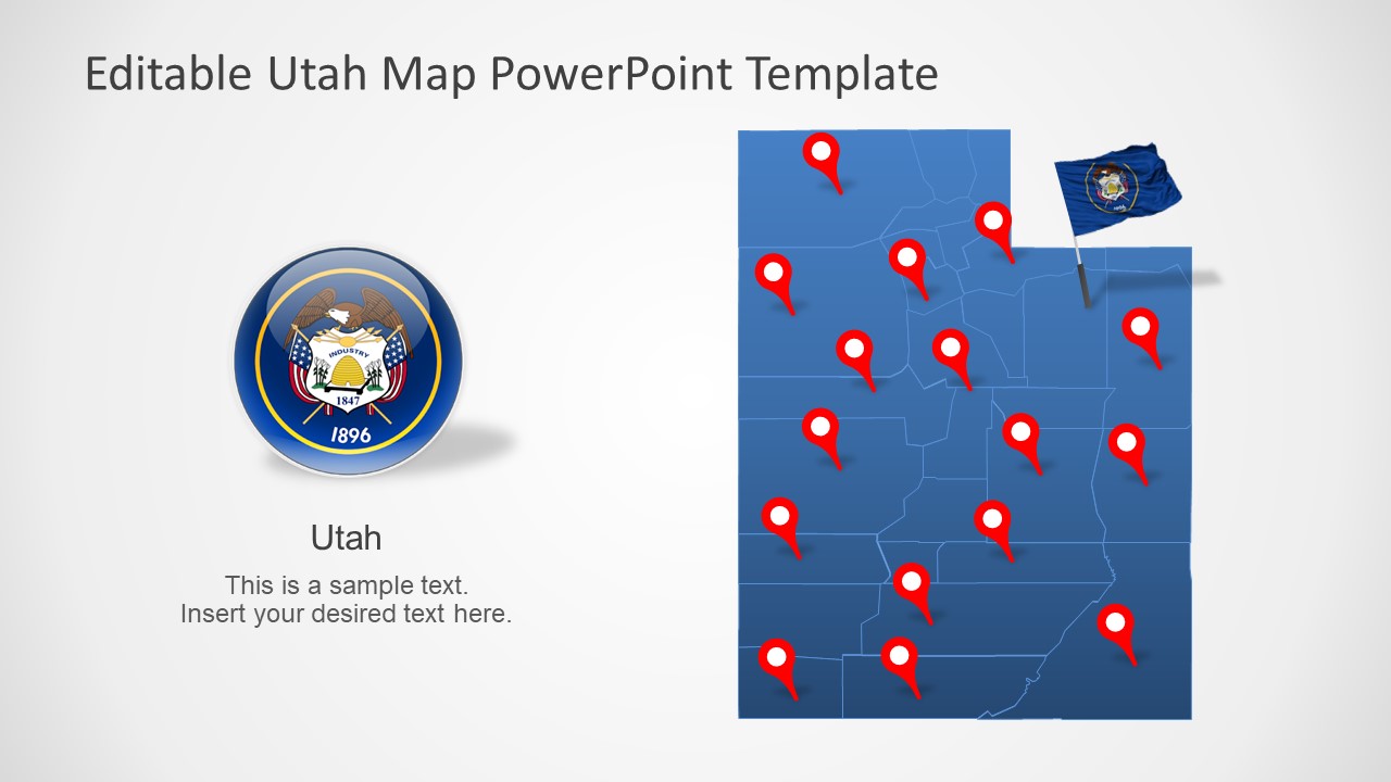
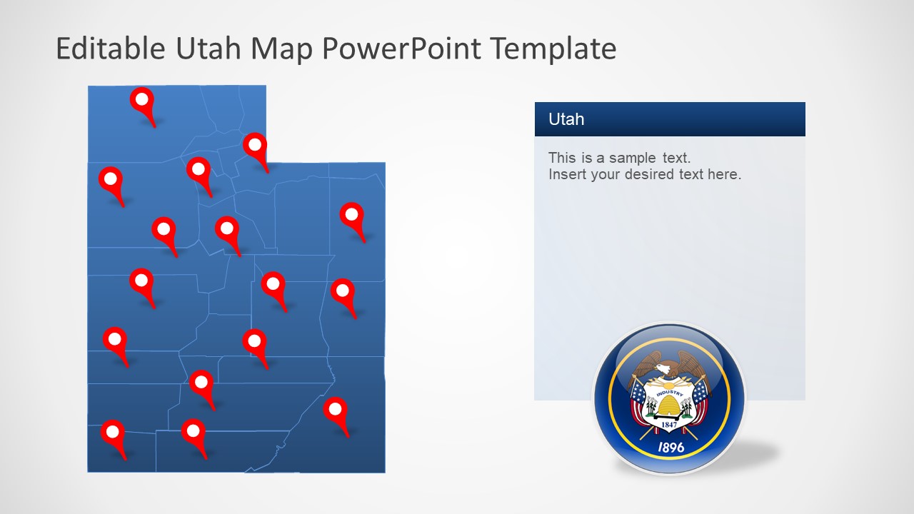
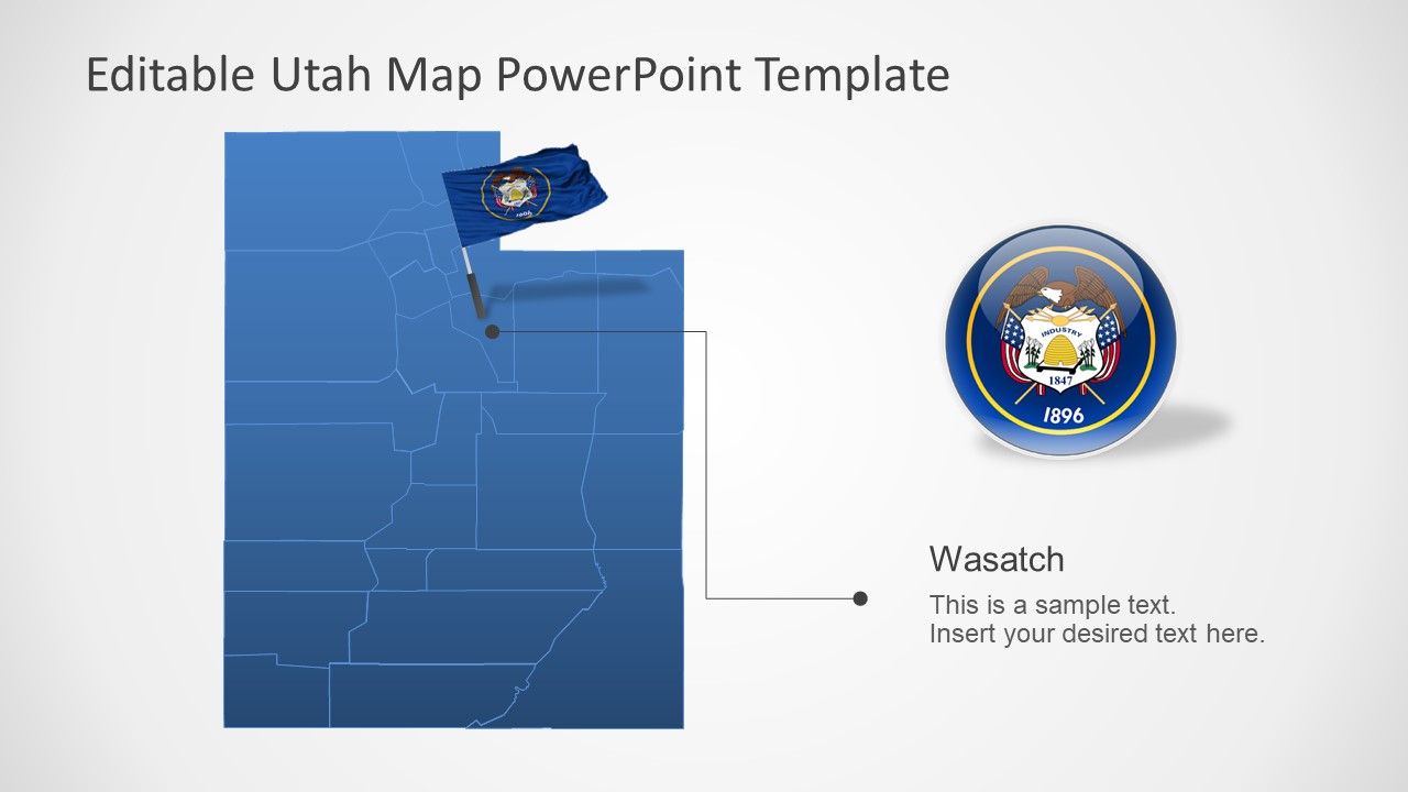
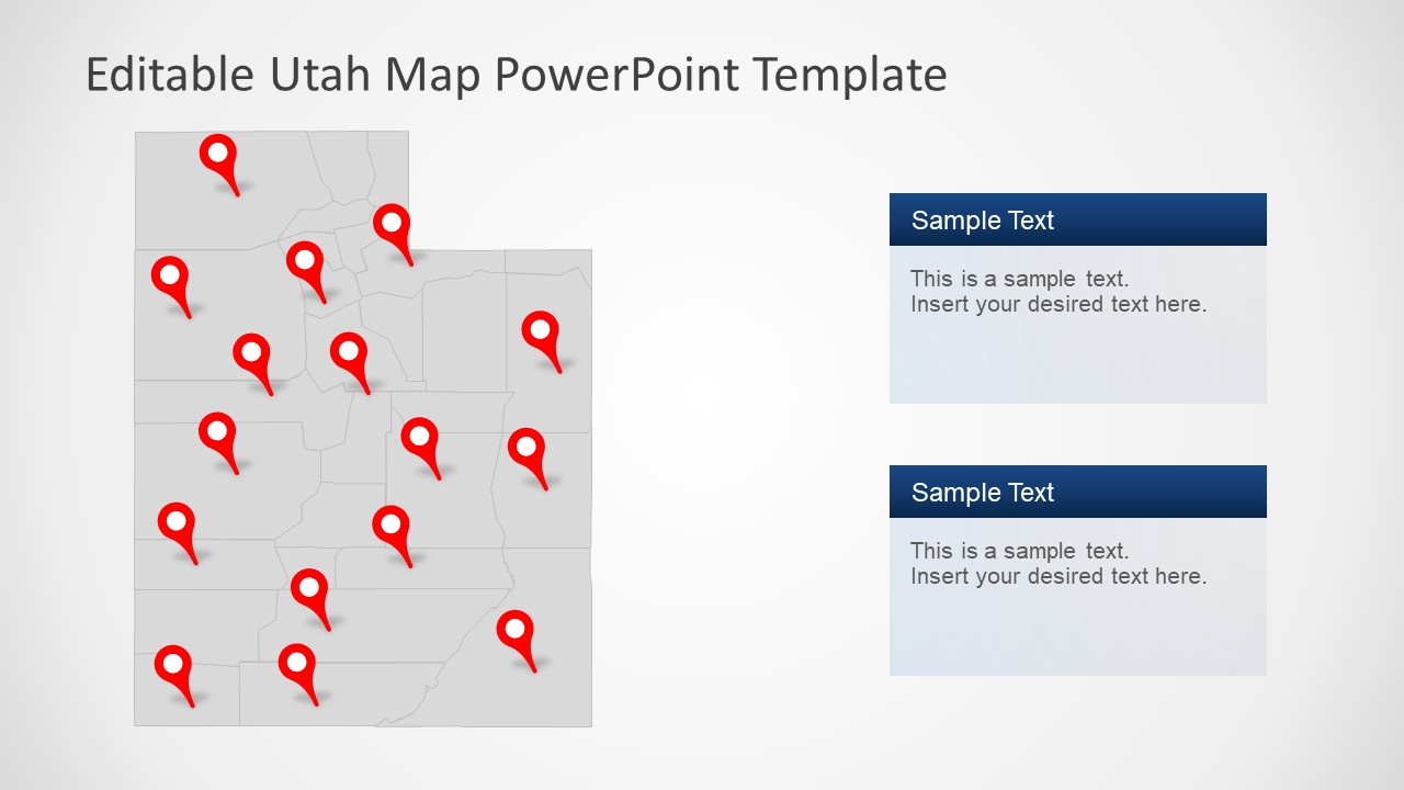
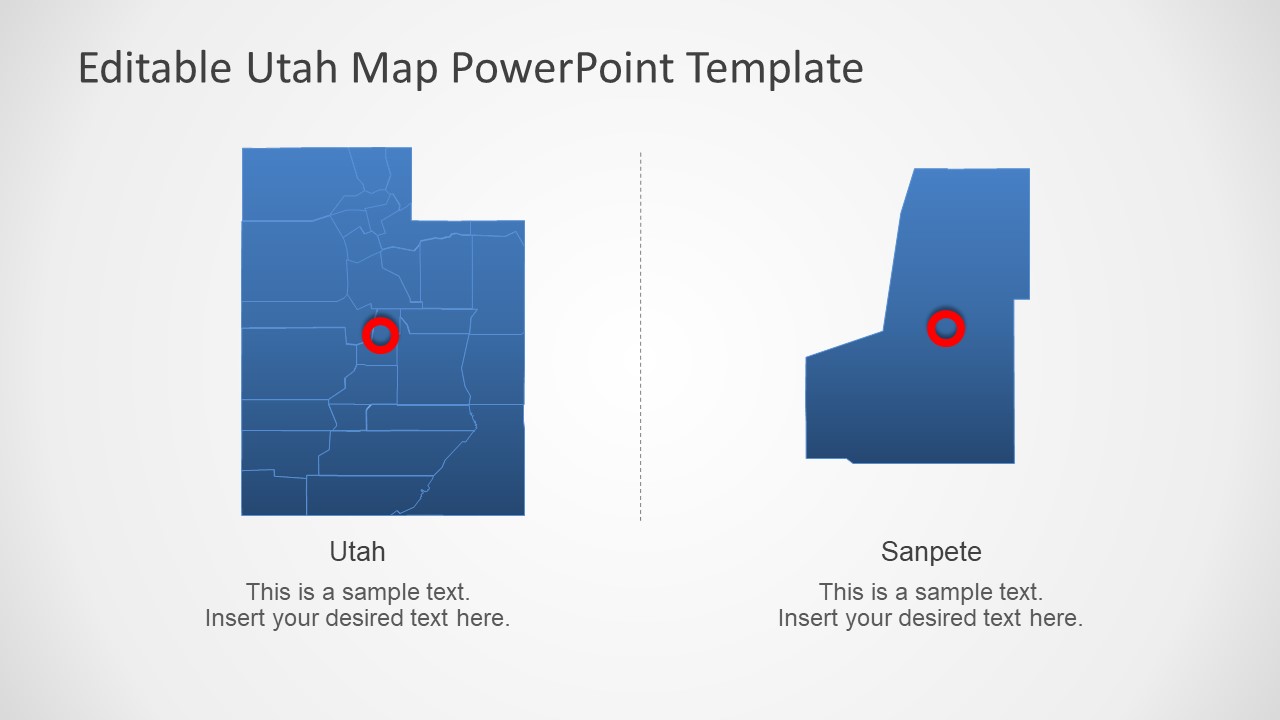
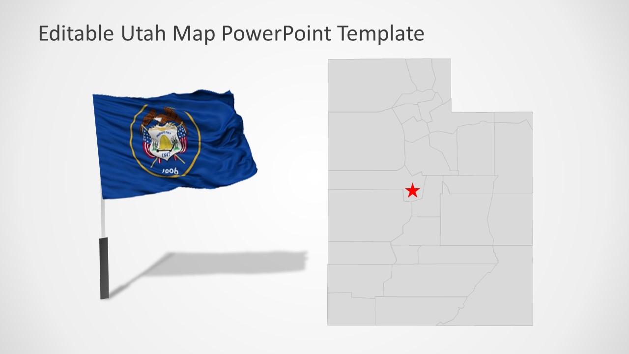
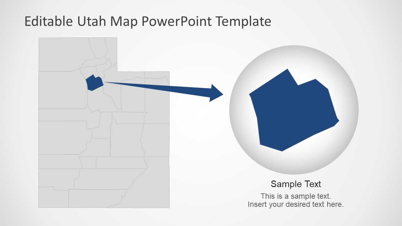
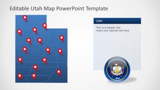
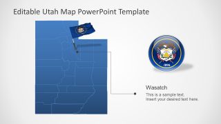
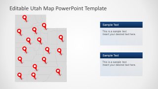
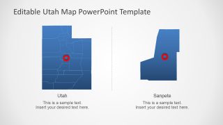
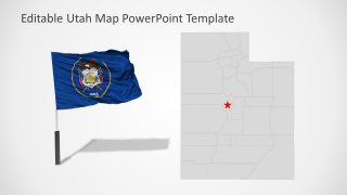
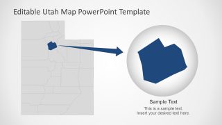
The Utah US State With Counties PowerPoint Map is a set of flat editable maps. These slides display outline maps of Utah, one of 50 states in America. And, the outlines display 29 editable unites representing each county. This is a landlocked state in North America, borders with Idaho, Wyoming, Colorado, Arizona, Nevada, and New Mexico. It is a western state of the United States with a history of indigenous and Spanish inhabitants. Therefore, the PowerPoint map template of Utah can help demonstrate a variety of social and business presentations. The flat map template of Utah with editable counties provides flexibility to customize contents, unlike map images.
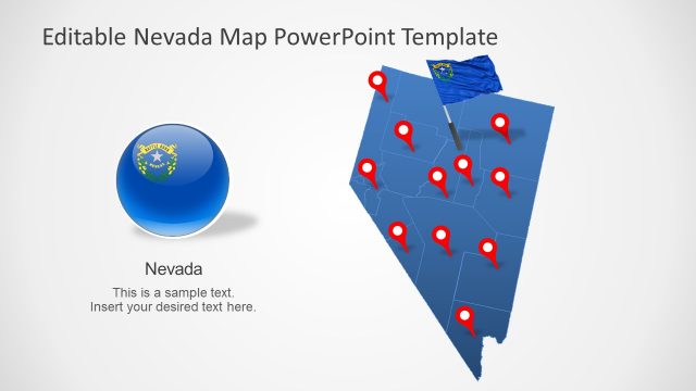
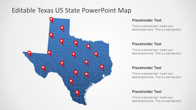
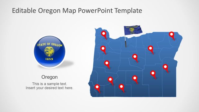
The PowerPoint Map of Utah is compatible with google slides themes. The users can simply copy PowerPoint presentations into google slides for virtual presentations or webinars. Further, the Utah PowerPoint map template contains add-ons such as location markers and flag clipart icons. All 7 outline map slides present different versions with text placeholders, labels, and highlighted counties. All graphic elements of PowerPoint Templates are flat vector-based images. Hence, users can reshape these images without losing image quality.
The Utah US State With Counties PowerPoint Map is suitable for business and educational presentations. Further, it contains blue and gray PowerPoint background color themes. The users can customize these maps by changing colors, resizing shapes, or insert brand-related content. For instance, color code counties of Utah for statistical analysis.
